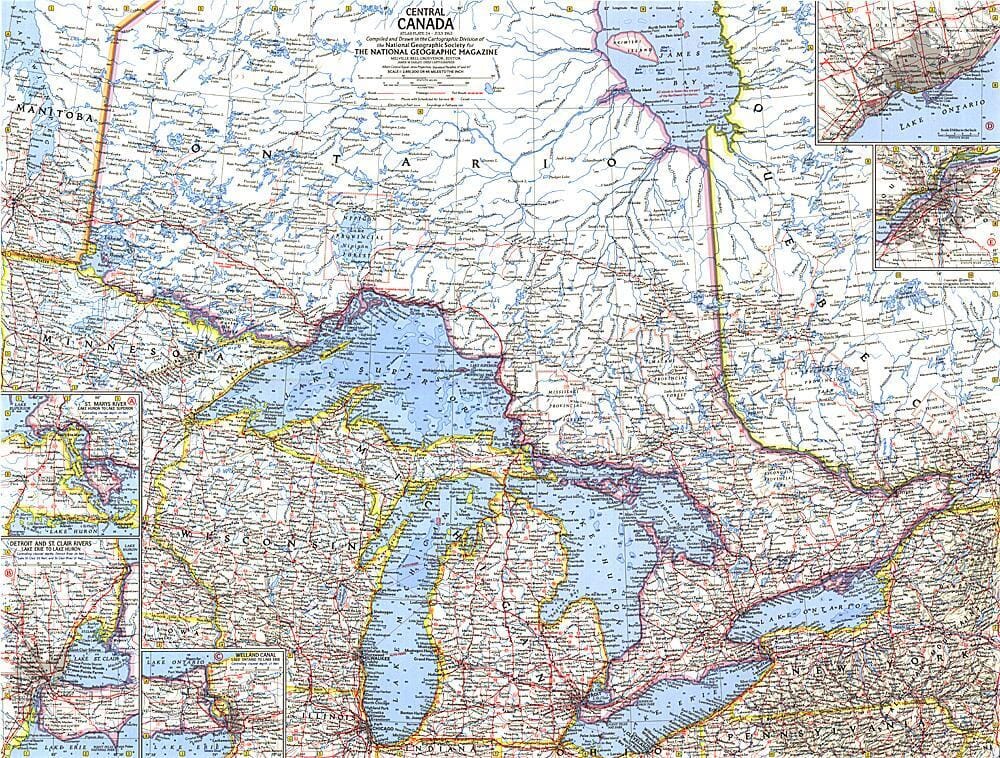
1963 Central Canada

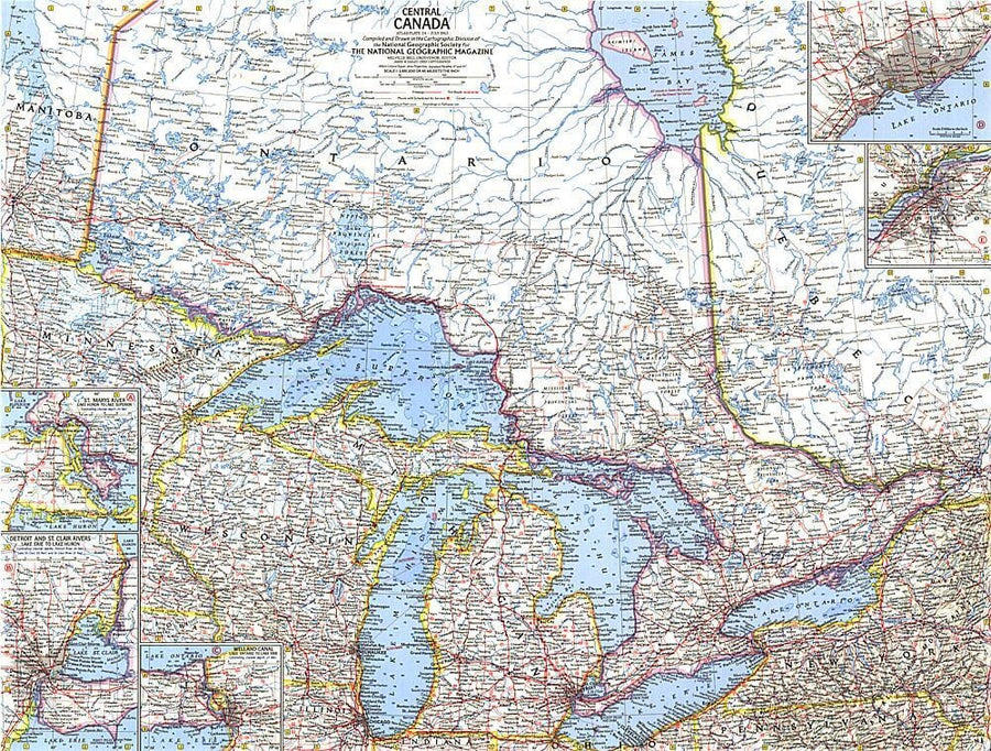
1963 Central Canada Wall Map

1963 Central Canada

Regular price $34.00
/
  • Ships within 48 business hours from our US warehouse.
  • Delivery costs calculated instantly in the cart
  • Free returns (*)
  • Real-time inventory
  • In stock, ready to ship
  • Inventory on the way
Tax included.

Often purchased together:

Discover the fascinating region of Central Canada with this compelling map. Includes inset maps of Toronto and sections of major rivers. Published in July 1963 with the article "Canada's Dynamic Heartland, Ontario." A fine companion to the maps of Eastern Canada (1967) and Western Canada (1966).


ISBN/EAN : 2321549M
Publication date: 1963
Unfolded dimensions: 25in / 19in
Language(s): English
Poids : 200 g

Customer Reviews

Be the first to write a review
0%
(0)
0%
(0)
0%
(0)
0%
(0)
0%
(0)
Carte murale (en anglais) - Canada politique - 120 x 100 cm | Maps International carte murale grand tube Maps International papier
Carte murale plastifiée – Canada politique (légende en anglais) – 120 x 100 cm | Maps International - La Compagnie des Cartes
Wall Map - Canada Policy - 120 x 100 cm | Maps International
Maps International
$39.00
Nouveauté
Carte murale - Canada (en anglais), style classique - 60 x 42 cm | Maps International carte murale petit tube Maps International
Wall map - Canada (in English), classic style - 60 x 42 cm | Maps International
Maps International
$32.00
Recently viewed