Map of cycle junctions – Province of South Luxembourg
Publisher: NGI – National Geographic Institute (Belgium)
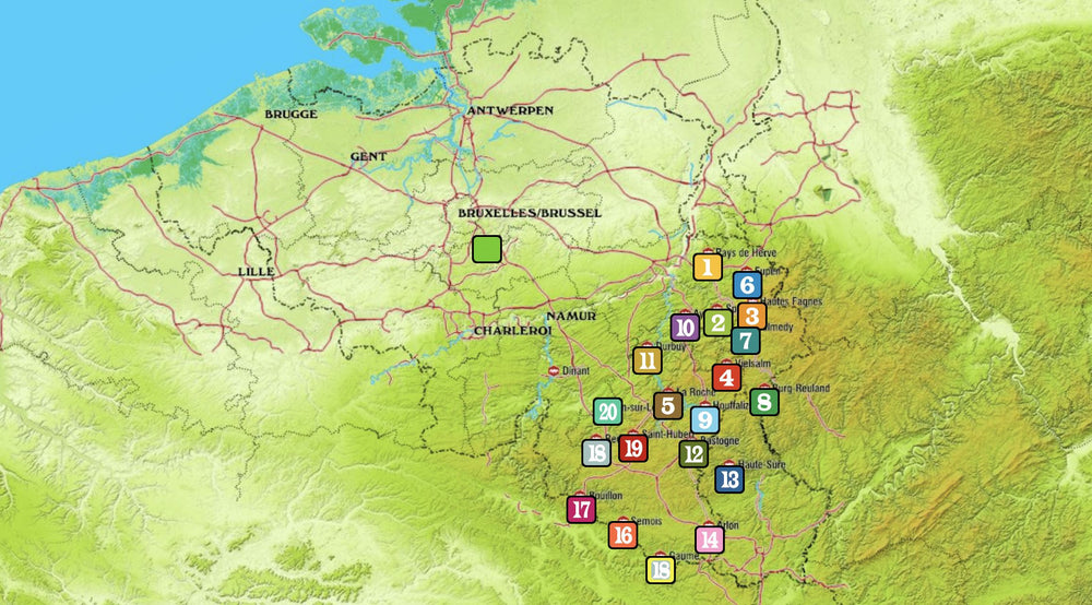
Area covered: South of the province of Luxembourg
🚴♂️ Product Description:
This cycle map details the network of cycle junctions in the south of the province of Luxembourg , Belgium. It is ideal for cycle tourists who want to plan personalized routes through varied and picturesque landscapes.
🗺️ Areas covered:
-
Main towns and villages : Arlon, Bastogne, Florenville, Neufchâteau, Virton
-
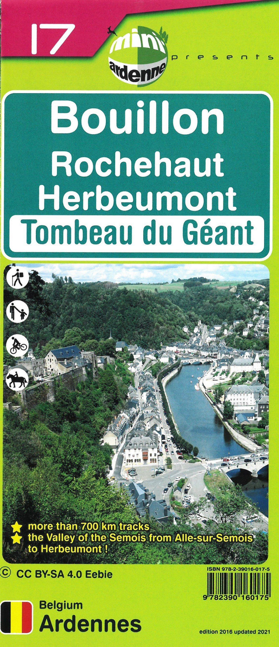
Emblematic villages : Habay, Libramont, Herbeumont, Saint-Léger
-
Semois Valley : a must-see for its panoramic views and unspoiled nature
🌿 Highlights:
-
Marked routes through dense forests , winding rivers and historic villages
-
Easy navigation thanks to the cycle junction system
-
Perfect for day trips or cycling trips
ISBN/EAN : 9789462357693
Publication date: 2025
Scale: 1/50,000 (1cm=500m)
Printed sides: both sides
Folded dimensions: 12 x 23cm
Language(s): French
Weight:
84 g


