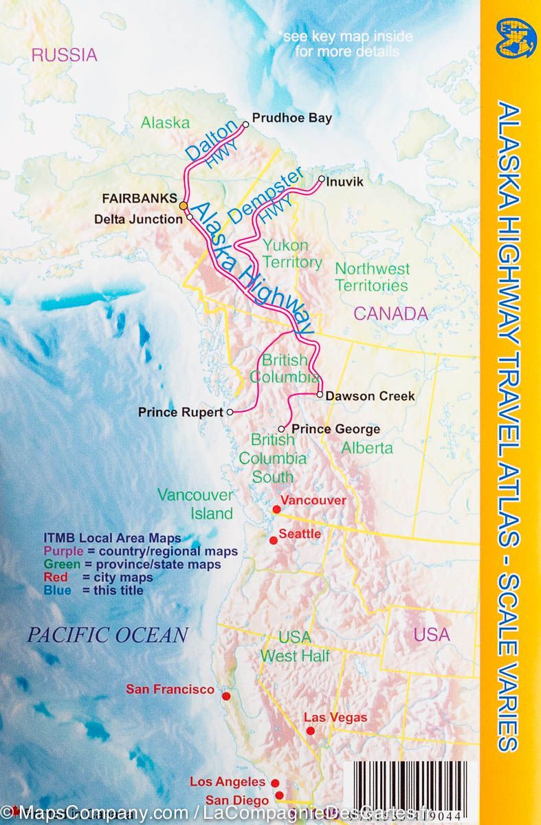
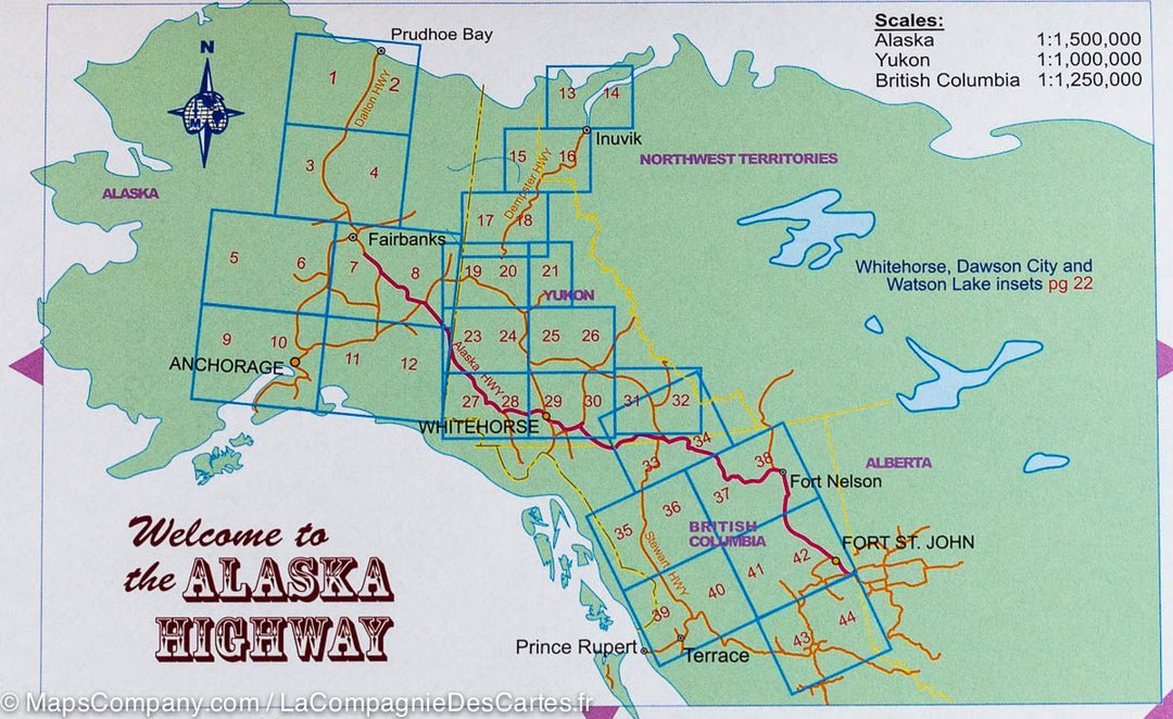
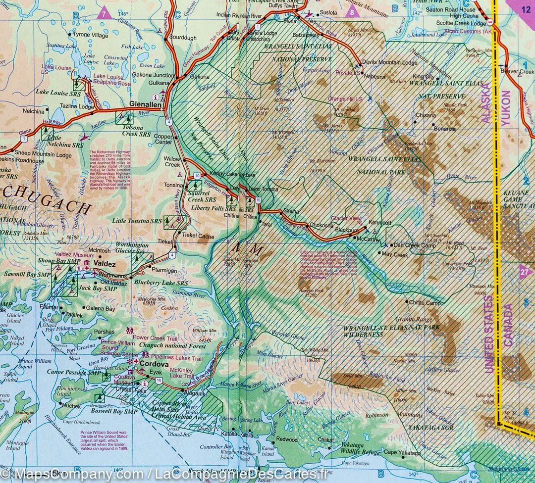
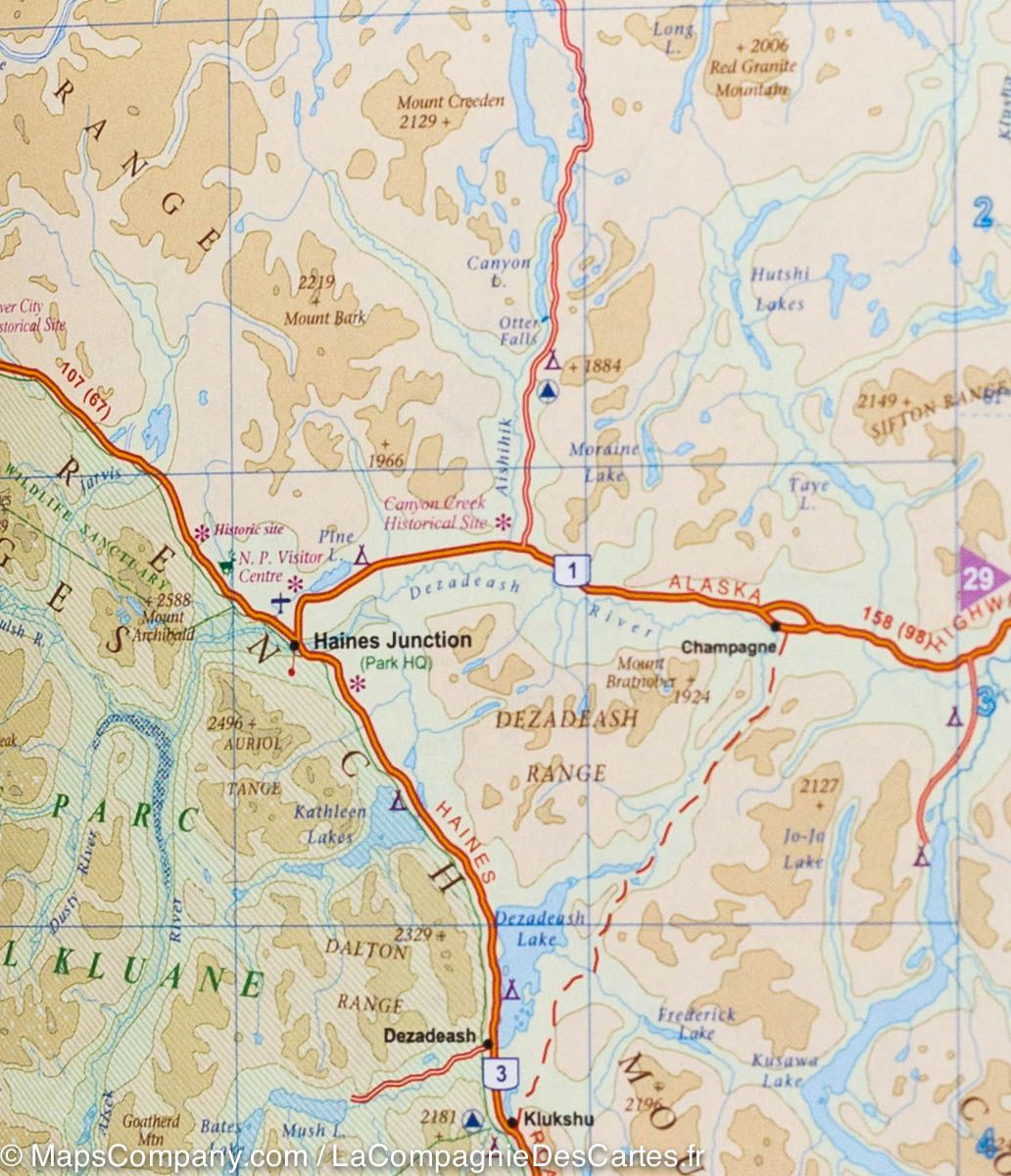
Pocket road atlas - Alaska, Demster & Dalton Highways | ITM

Price
Regular price $14.00
Regular price Sale price $14.00
Save $-14
/
  • Shipping within 24 working hours from our warehouse in France
  • Delivery costs calculated instantly in the basket
  • Free returns (*)
  • Real-time inventory
  • Low stock - 2 items left
  • Backordered, shipping soon
Tax included.

Often purchased together:

Pocket atlas of the northern part of the Pan American published by ITM. This atlas presents the road network across the central Alaska, connecting Anchorage with Fairbanks and Prudhoe Bay, as well as the Alaska road between Fairbanks and Fort St. John. This atlas also covers other roads across northern British Columbia and Yukon in Canada. Routes, places of interest (including campgrounds, campsites, cottages, rest areas, recreation areas, historical sites, medical services, etc.). Glaciers and national parks are indicated. Relief mapping. Index of cities. The map scale ranges from 1/15,000 for Alaska, 1/1,000,000 for Yukon and 1/1,250,000 for British Columbia.


ISBN/EAN : 9781553419044
Publication date: 2011
Scale: Various scales
Folded dimensions: 21.5 x 14.3 x 0.8cm
Language(s): English
Poids : 71 g

Customer Reviews

No reviews yet
0%
(0)
0%
(0)
0%
(0)
0%
(0)
0%
(0)