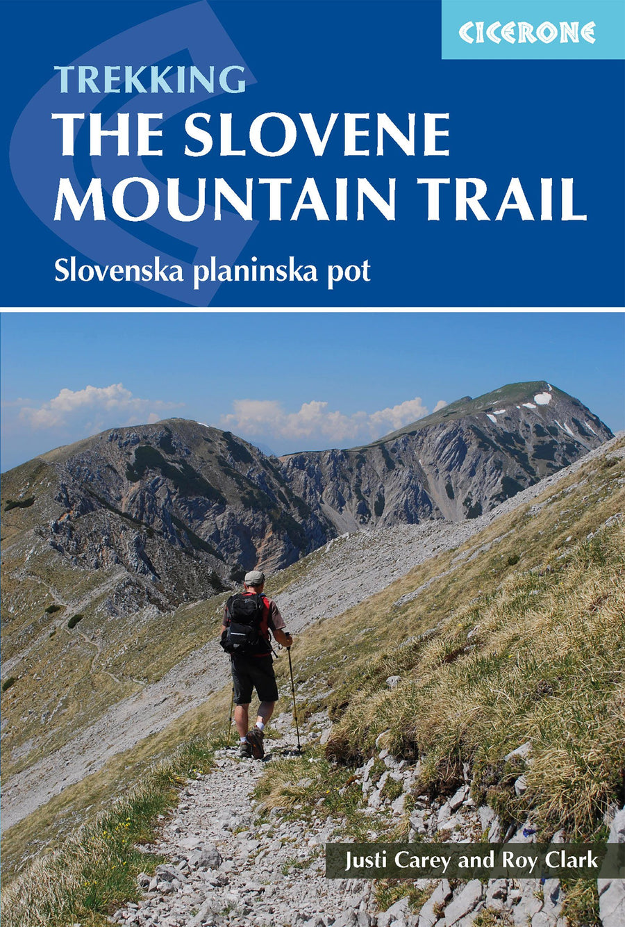
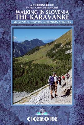
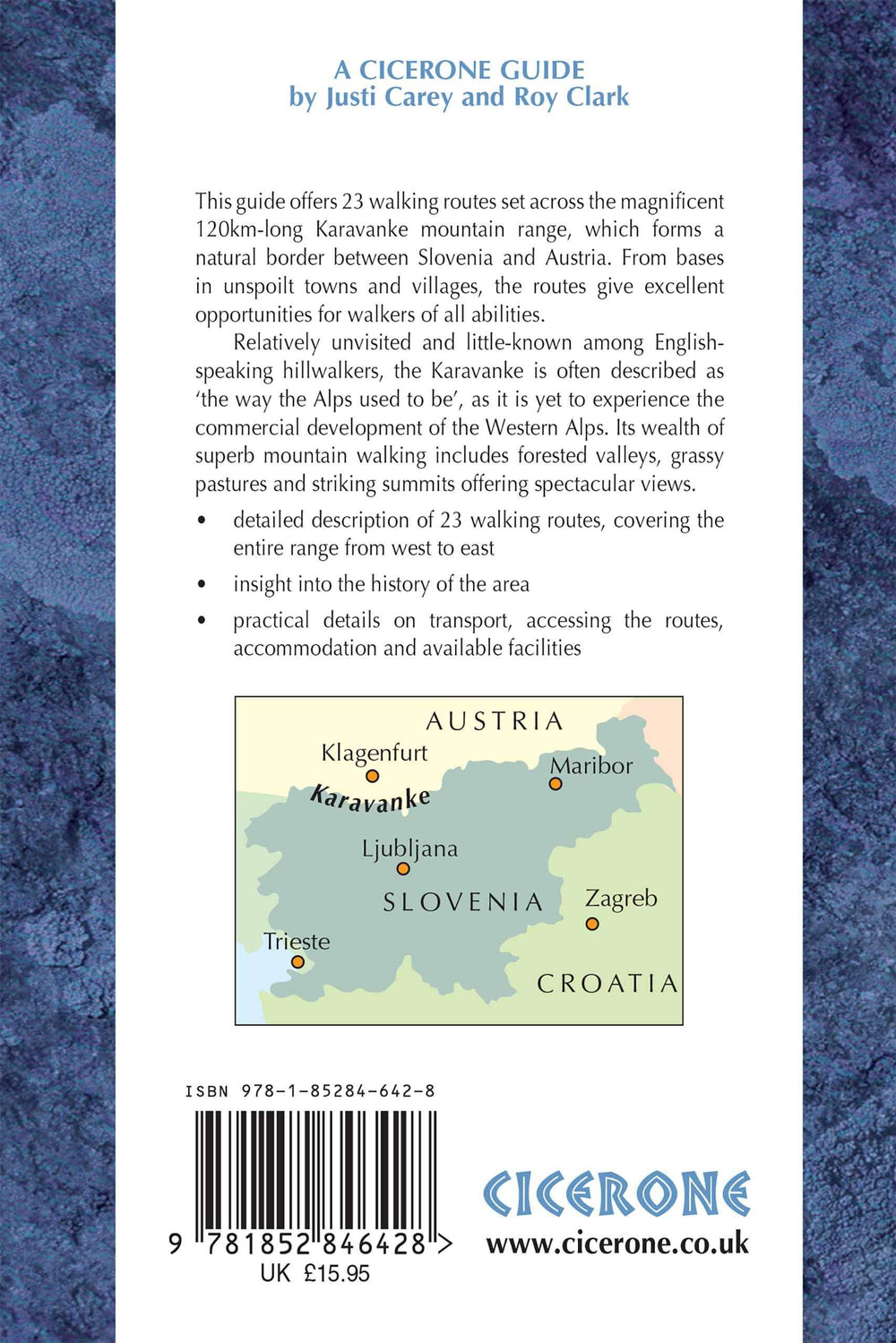
Topoguide de poche (en anglais) de l'éditeur Cicerone avec des fiches détaillées pour randonner dans les montagnes de Slovénie.
Description fournie par l'éditeur :
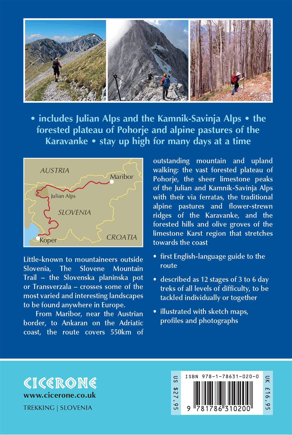
A guidebook for trekking the Slovene High Level Route across Slovenia. The 500 km hike from Maribor, near the Austrian border, to Ankaran on the Adriatic coast, is described as a series of 3 to 6 day treks. The route runs through the regions of Pohorje, the Julian Alps and Kamnik-Savinja Alps, the Karavanke, and the limestone Karst country.
Seasons : Routes clear of snow and weather stable from mid-June to the end of September; high mountain huts only open from July to September; many facilities closed from October to May and snow possible.
Centres : Stage starts and finishes: Maribor, Slovenj Gradec, Solcava, Zgornje Jezersko, Tržic, Mojstrana, Vršic, Trenta, Petrovo brdo, Idrija, Col, Matavun, Ankaran.
Difficulty : Series of 3 to 6 day treks of all levels of difficulty; each day graded from 1 (mostly on tracks or lanes, not steep or technical) to 3 (long and strenuous, often with fixed protection, self-belaying equipment and helmet recommended).
Must See : Highest peak Triglav (2864m); vast forested plateau of Pohorje; sheer limestone peaks of the Julian and Kamnik-Savinja Alps; traditional alpine pastures and flower-strewn ridges of the Karavanke; forested hills and olive groves of the limestone karst country.
ISBN/EAN : 9781786310200
Date de publication : 2019
Pagination : 256 pages
Dimensions plié(e) : 12 x 17 cm
Langue(s) : anglais
Poids :
290 g


