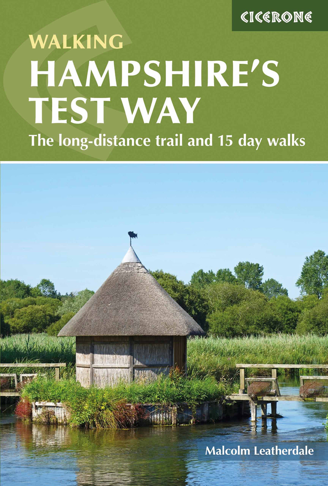
Topoguide (en anglais) de l'éditeur Cicerone.
Description fournie par l'éditeur :
Guidebook to walking the 71 km (44 mile) Test Way in Hampshire from high on the chalk downs of Inkpen Beacon to the Eling Tide Mill near Southampton Water. Following the beautiful, crystal clear River Test, it passes picturesque villages and fascinating historic sites. Also includes 15 day walks to explore this lovely part of pastoral England.
Seasons :
All year
Centres :
Beginning at Inkpen Beacon, the Test Way passes close to or through St Mary Bourne, Whitchurch, Stockbridge, King's Somborne, Broughton, Mottisfont, Romsey and ends at Eling Totton.
Difficulty :
All abilities are catered for. Several of the walks and the first half of the Test Way are perhaps more of a challenge. The second half is fairly flat as are the majority of the walks. No special equipment required.
Must See :
Inkpen Beacon; Whitchurch Silk Mill; Chilbolton Common; Longstock Park Water Garden; Danebury Iron Age hill fort; Stockbridge Down; Mottisfont Abbey; Romsey Abbey, Romsey Signal Box - restored - formerly part of the dismantled 'Sprat and Winkle' railway; Broadlands House Romsey; Lower Test Nature Reserve; Eling Tide Mill Totton
ISBN/EAN : 9781852849535
Date de publication : 2018
Dimensions plié(e) : 12 x 17 cm
Langue(s) : anglais
Poids :
181 g