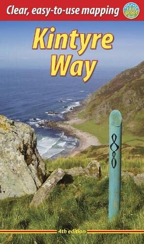
Topoguide (en anglais) de la Kintyre Way (Écosse) édité par Rucksack Readers.
Le guide est à spirales, léger, imperméable, et inclut une carte générale du trek.
Description fournie par l'éditeur :
This fully waymarked trail runs for 101 miles/162 km southward from the beautiful natural harbour of Tarbert to Macrihanish, near the Mull of Kintyre. Criss-crossing the entire peninsula, you pass castles, abbeys and prehistoric remains, sometimes walking along rugged coastline, sometimes high on forestry tracks with glorious views over Arran, the Firth of Clyde and towards Ireland. You will enjoy many wildlife sightings in this peaceful area, famous as Scotland only "mainland island". Since it opened (2006) the route has changed in places. The 2023 edition of this essential guidebook contains all you need to plan and enjoy your holiday: 13 pages with mapping showing the whole route (1:70,000); the Way step-by-step, with summaries of distance, terrain and refreshment stops; habitats and wildlife; whisky-making in Kintyre; side-trip to the island of Gigha; and planning information for travel by car, ferry, bus and plane. The book is printed on rainproof paper throughout, and has over 100 colour photographs.
ISBN/EAN : 9781913817121
Date de publication : 2023
Pagination : 80 pages
Dimensions plié(e) : 13 X 22 cm
Langue(s) : anglais
Poids :
159 g