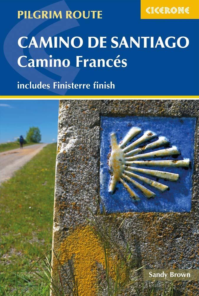
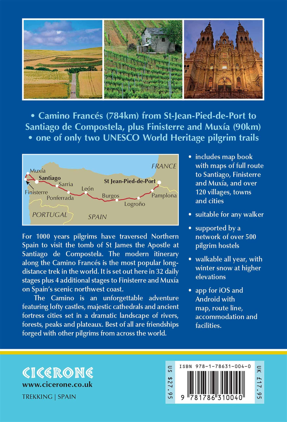
Topoguide (en anglais) de l'éditeur Cicerone avec des fiches détaillées pour randonner sur le Camino Frances.
Description fournie par l'éditeur :
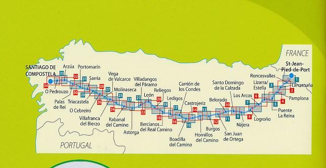
This two-volume set of guidebook and map book makes an indispensable companion to planning and walking the 784km Camino Frances pilgrim route from St-Jean-Pied-de-Port across northern Spain to Santiago de Compostela.
Divided into 6 sections, the guidebook includes an additional section from Santiago de Compostela to Finisterre and Muxia on the Galician coast. Each section is broken down into detailed stages with easily customisable start and finish points due to the amount of accommodation available en route. Over 500 of these pilgrim lodgings are listed within this guidebook, including all public and private albergues, with contact details and a description of facilities available.
The accompanying map book offers detailed, stage-by-stage maps and profiles of the route as well as over 120 town and village maps that helps you find the exact location of accommodation and other sites important to pilgrims. The small size allows you to keep the map book in an accessible pocket for use throughout the day.
This two-part guidebook and map book provide an abundance of advice on planning and preparation, sample itineraries and detailed information that allows complete customisation of the Camino, making this an ideal guidebook for all pilgrims walking the Camino Frances.
ISBN/EAN : 9781786310040
Date de publication : 2020
Dimensions plié(e) : 12 x 17 cm
Langue(s) : anglais
Poids :
225 g


