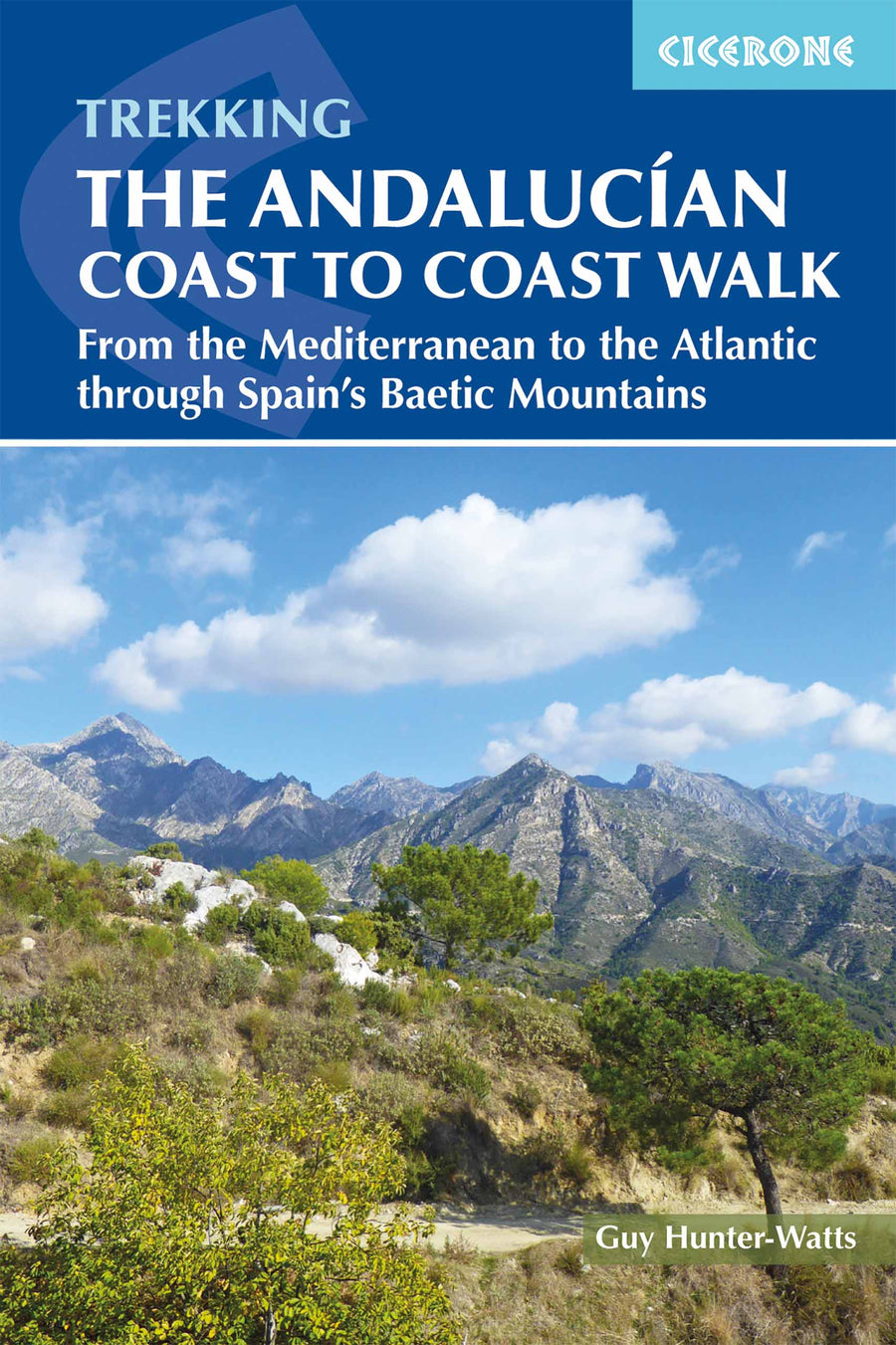
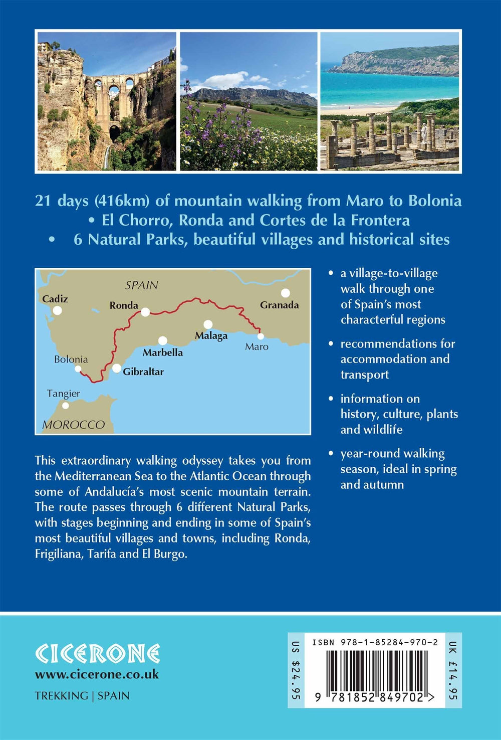
Topoguide (en anglais) de l'éditeur Cicerone avec des fiches détaillées pour randonner sur la côte d'Andalousie.
Description fournie par l'éditeur :
Guidebook to the Andalucian Coast to Coast Walk, a 440 km, 21-day route from Maro on the Mediterranean coast to Bolonia, on the Atlantic. The route, which passes through 7 Natural Parks, links some of Andalucía's most beautiful villages and passes historical sites of both Roman and Moorish origins, including Ronda and Tarifa.
Seasons : Andalucía's mild winter climate means that this is a region that is suited to year-round walking, apart from July and August when temperatures are generally too hot for comfortable hiking.
Centres : Frigiliana, Cómpeta, Alcaucín, Riogordo, Villanueva de la Concepción, El Chorro, Carratraca, El Burgo, Ronda, Montejaque, Cortes de la Frontera, Jimena de la Frontera, Castillo de Castellar, Los Barrios, Tarifa.
Difficulty : The route is within the capabilities of anyone who is reasonably fit and walks on a regular basis. Stages vary in length from 14 km to 27 km, so all can be comfortably covered in a day: most are graded Medium-Medium Difficult, with just a couple graded Difficult due to length.
Must See : Some of Andalucía's most beautiful mountain villages, including Ronda, Frigiliana, Tarifa and El Burgo; Arab and Roman paths; high mountains; ocean views; great food and accommodation; six Natural parks; fascinating historical sites of Roman and Moorish origin.
ISBN/EAN : 9781852849702
Date de publication : 2018
Dimensions plié(e) : 12 x 17 cm
Langue(s) : anglais
Poids :
221 g


