Carte de voyage - Pyrénées & Andorre | National Geographic

Prix
Prix régulier $17.00
Prix régulier Prix réduit $17.00
Écomisez $-17
/
  • Expédition sous 24 h ouvrées depuis notre entrepôt en France
  • Frais de livraison calculés instantanément dans le panier
  • Retours gratuits (*)
  • Stocks en temps réel
  • En stock
  • En rupture de stock, expédition prochainement
Taxes incluses.

Souvent achetés ensemble :

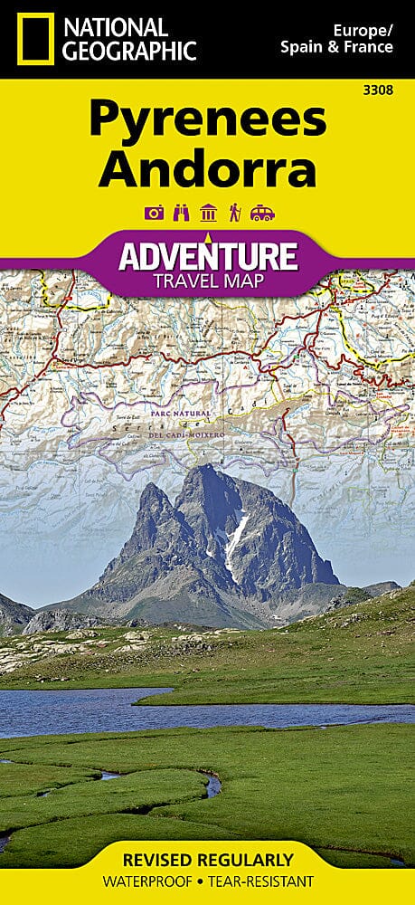
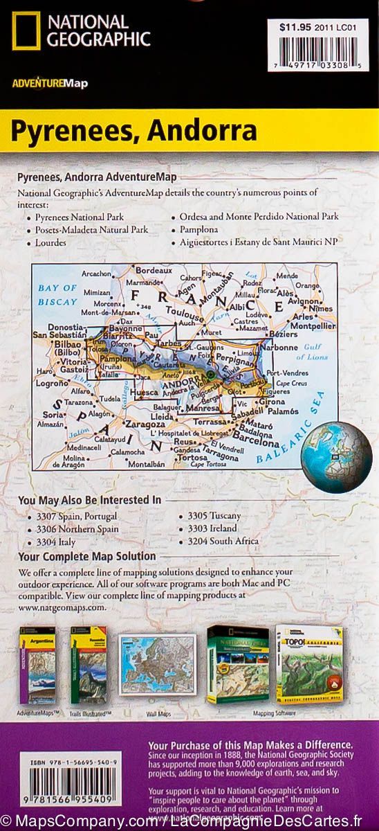
Carte très détaillée des Pyrénées (incluant l'Andorre) éditée par National Geographic . Indications touristiques et des parcs nationaux, cartographie du relief (avec courbes de niveau), routes détaillées avec les distances et index des villes inclus.

Carte détaillée imperméable et résistante au déchirement.


ISBN/EAN : 9781566955409
Date de publication : 2022
Echelle : 1 / 275 000 (1 cm = 2,75 km)
Impression : recto-verso
Dimensions plié(e) : 23,5 x 10,7 x 0,8 cm
Dimensions déplié(e) : 96 x 65 cm
Langue(s) : anglais
Poids : 89 g

Customer Reviews

Based on 3 reviews
33%
(1)
33%
(1)
33%
(1)
0%
(0)
0%
(0)
P
PATRICE T. (Lyon, FR)
Très bien

Très bien

D
David S.
It was the only map I could find th...

It was the only map I could find that contained the whole Pyrenees on one sheet which is important because I am cycling across the Pyrenees and space and lightness are important. The fact it is waterproof is a real bonus. a perfect map for cycling and I buy a lot of maps.

A
Alexander T.
took a while to arrive. But a good ...

took a while to arrive. But a good quality map