Description de l'éditeur :
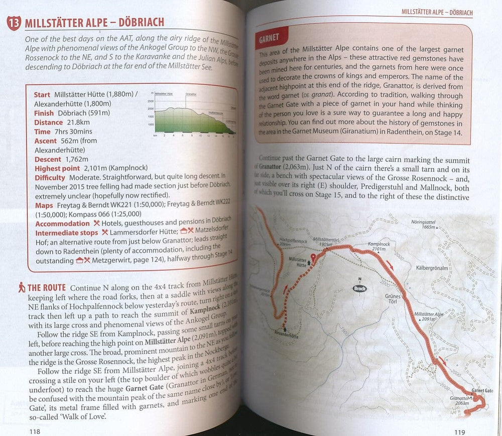
A new, thoroughly updated edition of the first and only English-language guide to the epic 750 km hiking route through the mountains of Austria, Slovenia and Italy, from the foot of the Grossglockner (at 3,798m, the highest peak in Austria and the Eastern Alps) to Muggia near Trieste on the Adriatic coast. Detailed maps and route descriptions for all 43 stages of the route are included, with a clear breakdown of time, distance and ascent for each stage. Published in a small, handy-sized format which is easy to pack and carry, it is written by an expert who has authored over half a dozen hiking guides and who specialises in Eastern and Central Europe.
He has been a regular visitor to the borderlands of Slovenia, Austria and Italy for over 15 years, as well as living for two years in neighbouring Croatia. The Alpe-Adria route is well marked, relatively easy to walk and is suitable for hikers of all abilities as well as families – a point which is emphasised in the guide. The route takes in spectacular, unspoilt mountain scenery, alpine lakes, rolling coastal hills, beautiful villages and several national parks and nature reserves. An introduction covering the history, wildlife, flora and geography of the area is included, along with accommodation details for each stage and information on local public transport, culture, food and language.
ISBN/EAN : 9781784776718
Date de publication : 2020
Pagination : 320 pages
Dimensions plié(e) : 13,5 × 21,6 cm
Langue(s) : anglais
Poids :
265 g


