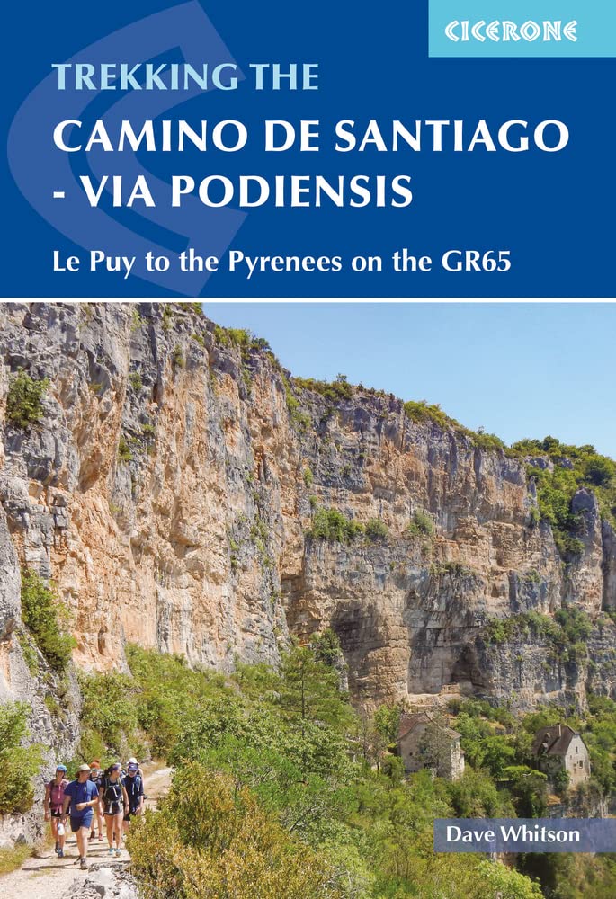
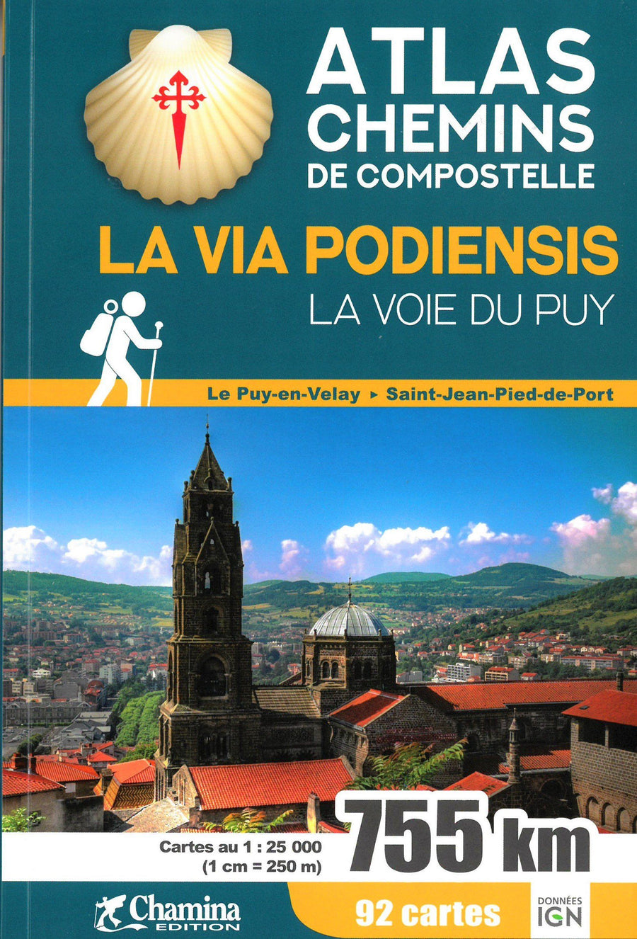
Guide de randonnées (en anglais) - Camino de Santiago : Via Podiensis GR65, Le Puy to the Pyrenees | Cicerone

Prix
Prix régulier $24.00
Prix régulier $26.00 Prix réduit $24.00
Écomisez $2
/
  • Expédition sous 24 h ouvrées depuis notre entrepôt en France
  • Frais de livraison calculés instantanément dans le panier
  • Retours gratuits (*)
  • Stocks en temps réel
  • En stock
  • En rupture de stock, expédition prochainement
Taxes incluses.

Souvent achetés ensemble :

Topoguide (en anglais) de l'éditeur Cicerone avec des fiches détaillées pour randonner sur la Via Podiensis.

Description fournie par l'éditeur :
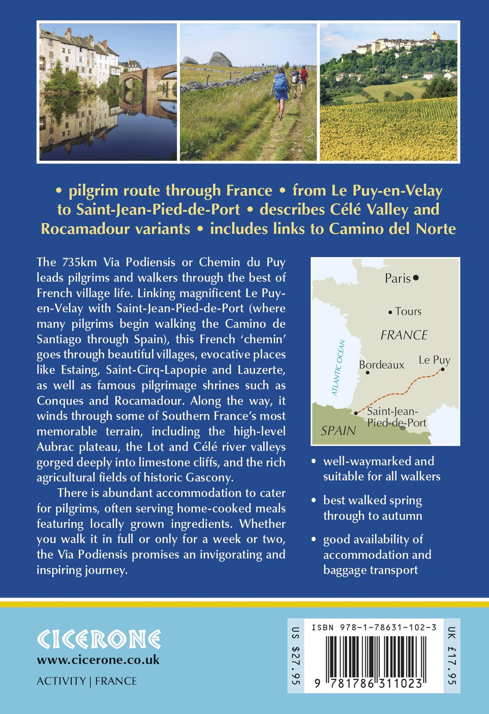
This guidebook describes in full the 735km Via Podiensis (GR65), a historic pilgrimage route through southern France from Le Puy-en-Velay to Saint-Jean-Pied-de-Port, where the trail meets the famous Camino Francés to Santiago de Compostela (Spain). Also detailed are 2 major variants: the Célé Valley (GR651) and Rocamadour (GR6 and GR46). Split into 28 stages, the full route takes 4 to 6 weeks to complete but can be divided into shorter sections - Figeac and Condom are well positioned to break the walk into three 2-week chunks. It can be adapted to suit all abilities, with regularly spaced accommodation and baggage transport available, and is best walked in spring and autumn, with May and September the most popular months.

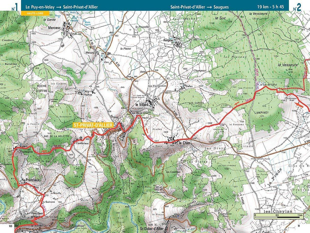
Walking directions are accompanied by 1;100,000 maps showing the route line and the facilities available at different locations. Accommodation listings provide invaluable information on where to stay. There are useful town maps for Cahors, Condom, Figeac, Le Puy, Moissac and Saint-Jean-Pied-de-Port, and a stage planning table listing intermediate distances between accommodation means the schedule can be easily customised to individual requirements.

The Via Podiensis leads pilgrims and walkers through the best of French village life, offering a unique combination of pleasant trails, quaint historic communities and cultural delights. Pilgrims carrying on to Santiago can either proceed directly from Saint-Jean on the Camino Frances or transition (via the GR10) over to the Camino del Norte - a skeletal outline of the routes linking Saint-Jean and Irun, Spain, is included in the guidebook.


ISBN/EAN : 9781786311023
Date de publication : 2022
Pagination : 296 pages
Dimensions plié(e) : 12 x 17 cm
Langue(s) : anglais
Poids : 350 g

Customer Reviews

No reviews yet
0%
(0)
0%
(0)
0%
(0)
0%
(0)
0%
(0)
Carte TOP 25 n° 2835 OT - Le Puy-en-Velay, Yssingeaux | IGN carte pliée IGN
Carte TOP 25 n° 2835 OT - Le Puy-en-Velay, Yssingeaux | IGN - La Compagnie des Cartes
Carte TOP 25 n° 2835 OT - Le Puy-en-Velay, Yssingeaux | IGN
IGN
$15.00
Carte de randonnée n° 2735 - Le Puy-en-Velay, Loudes | IGN - Série Bleue carte pliée IGN
Carte de randonnée n° 2735 - Le Puy-en-Velay, Loudes | IGN - Série Bleue
IGN
$15.00
Carte départementale n° 331 - Ardèche & Haute-Loire | Michelin carte pliée Michelin
Carte départementale n° 331 - Ardèche & Haute-Loire | Michelin
Michelin
$7.00
Carte détaillée - Chemins de Stevenson | IGN carte pliée IGN
Carte détaillée - Chemins de Stevenson | IGN
IGN
$10.00