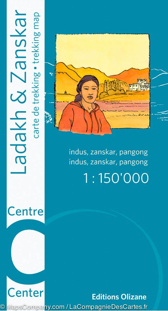
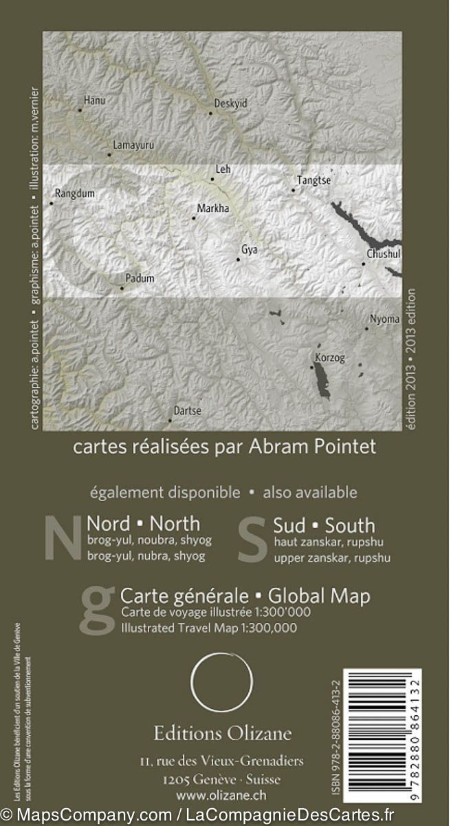
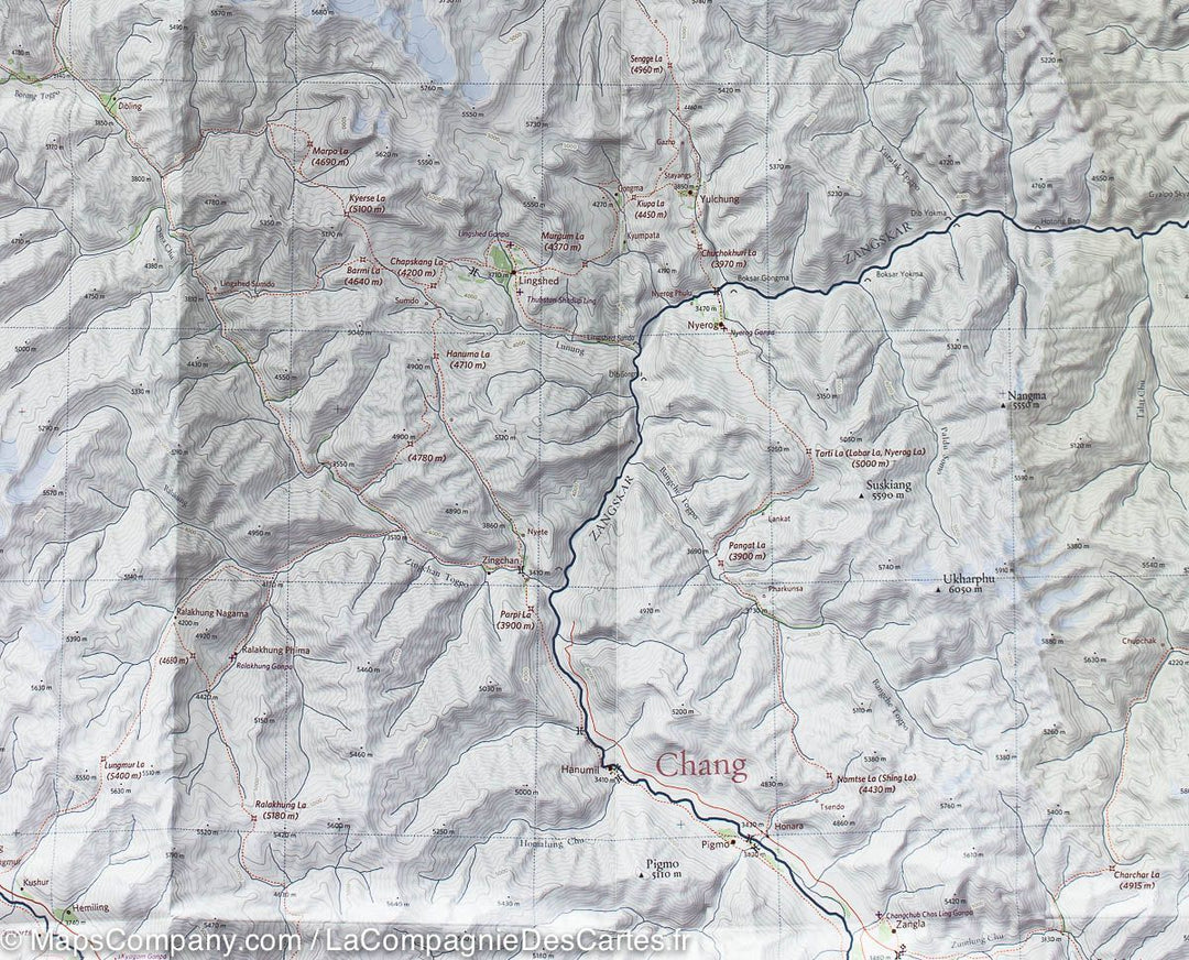
ISBN/EAN : 9782880864132
Date de publication : 2013
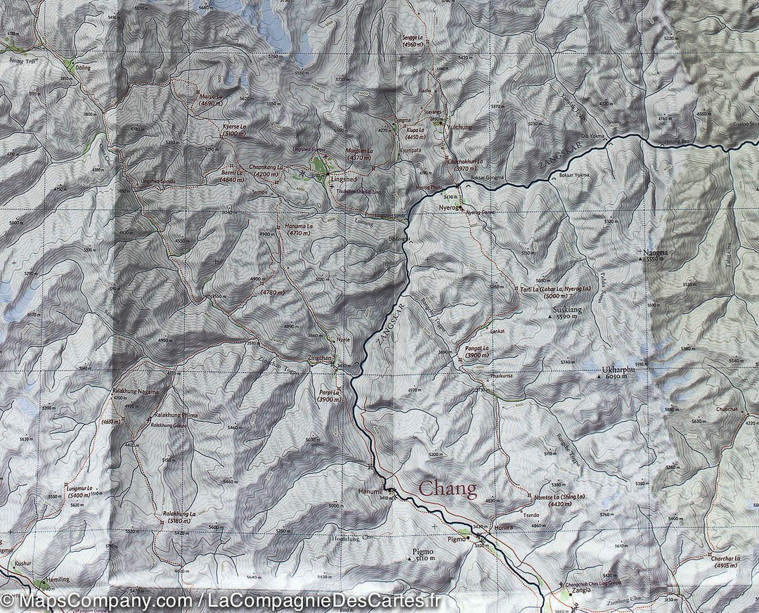
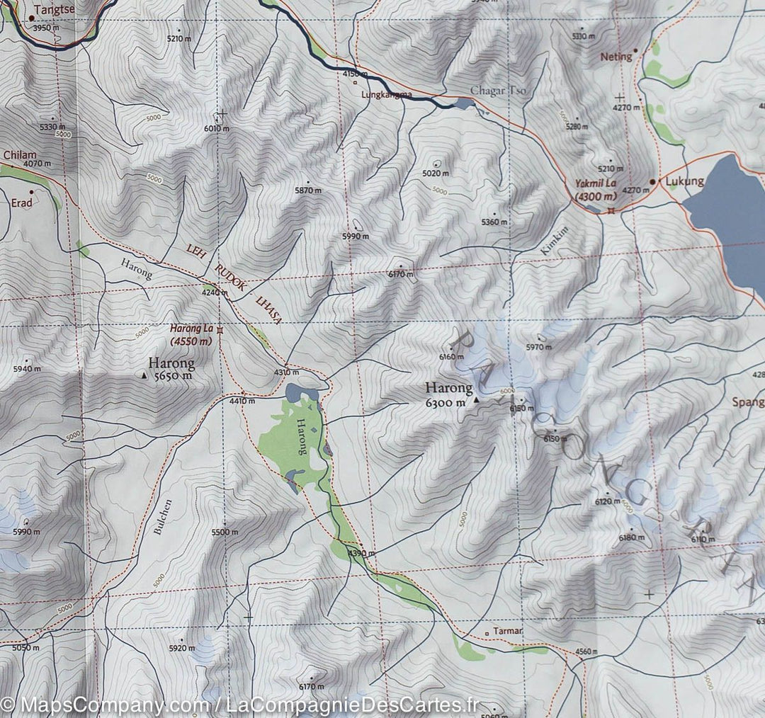
Echelle : 1/150 000 (1 cm = 1,5 km)
Impression : recto-verso
Dimensions plié(e) : 22 x 12 x 0,5 cm
Dimensions déplié(e) : 96 x 66 cm
Langue(s) : français, anglais
Poids :
59 g
Plus de 19 000 cartes et guides de voyage, cartes de randonnée, posters, globes, déco en stock !
Plus de 19 000 cartes et guides de voyage, cartes de randonnée, posters, globes, déco en stock !
🧭 Bientôt Cartovia ✨ On vous raconte tout ici 🗺️
🧭 En septembre, La Compagnie des Cartes devient Cartovia ✨ On vous raconte tout ici 🗺️
Livraison gratuite pour toute commande > 50 € (cartes pliées et guides, France métropolitaine)
Livraison gratuite pour toute commande > 50 € (cartes pliées et guides, France métropolitaine)
-
Cartes de voyage
-
Randonnée
-
Cartes murales
-
-
Accessoires voyage
-
-
Votre panier est vide.
-
-
- Voir toutes
- Cartes en relief
- Cartes magnétiques
- Cartes épinglables
- Cartes du monde / Planisphères
- Cartes avec système de fixation
- Cartes thématiques
- Cartes pour enfants
- Afrique
- Asie
- Moyen-Orient
- Océanie
- Arctique & Antarctique
- Espace et planètes
- Cartes en liège (épinglables)
- Cartes à gratter
- Cartes historiques
L'infolettre exclusive des passionnés de voyage et de découverte !
Nous acceptons
Entrer en contact
© 2025
La Compagnie des Cartes - Le voyage et la randonnée
/ Cartovia / MapsCompany
Conditions Générales de venteConfidentialitéDemande d'accès aux données personnelles


