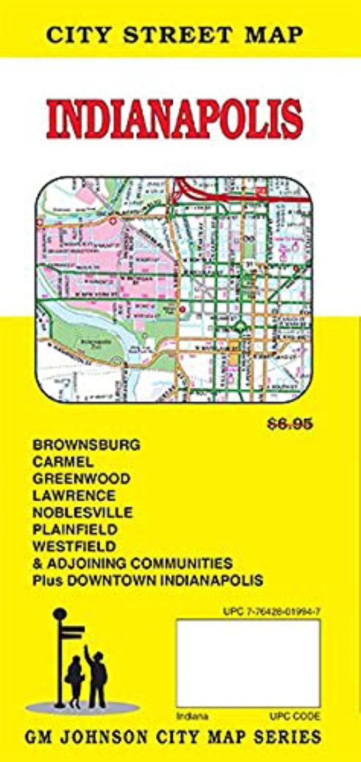
Plan des rues - Indianapolis | GM Johnson carte pliée GM Johnson

Plan des rues - Indianapolis | GM Johnson

Prix
Prix régulier $8.00
Prix régulier Prix réduit $8.00
Écomisez $-8
/
  • Expédition sous 48h ouvrées depuis notre entrepôt aux USA. Pour ce produit, des frais de douanes peuvent être demandés par le transporteur à la livraison.
  • Frais de livraison calculés instantanément dans le panier
  • Retours gratuits (*)
  • Stocks en temps réel
  • En stock
  • En rupture de stock, expédition prochainement
Taxes incluses.

Souvent achetés ensemble :

Zone de couverture de la carte : Avon, Beech Grove, Brownsburg, Carmel, Cicero, Clermont, Crows Nest, Cumberland, Fishers, Greenwood, Homecroft, Indianapolis, Lawrence, Meridian Hills, Noblesville, Plainfield, Southport, Speedway, Warren Park, Westfield , Whitestown, Williams Creek, Wynnedale, Zionsville, comté de Boone, comté de Hendricks, comté de Johnson, comté de Marion, comté de Morgan, centre-ville Indianapolis


ISBN/EAN : 9781774490419
Date de publication : 2021
Dimensions plié(e) : 9 x 4"
Langue(s) : anglais
Poids : 62 g

Customer Reviews

Be the first to write a review
0%
(0)
0%
(0)
0%
(0)
0%
(0)
0%
(0)
Plus de Indianapolis
Carte routière n° 8 - USA Sud-Est (MidAtlantic, Appalaches) | Hallwag carte pliée Hallwag
Carte routière n° 8 - USA Sud-Est (MidAtlantic, Appalaches) | Hallwag
Hallwag
$14.00
Indianapolis, Indiana and Vicinity Regional | Rand McNally carte pliée Rand McNally
Indianapolis, Indiana and Vicinity Regional | Rand McNally
Rand McNally
$7.00
Indiana, carte facile à lire | Rand McNally carte pliée Rand McNally
Indiana, carte facile à lire | Rand McNally
Rand McNally
$10.00
Plan des rues - Indianapolis | GM Johnson carte pliée GM Johnson
Plan des rues - Indianapolis | GM Johnson
GM Johnson
$8.00