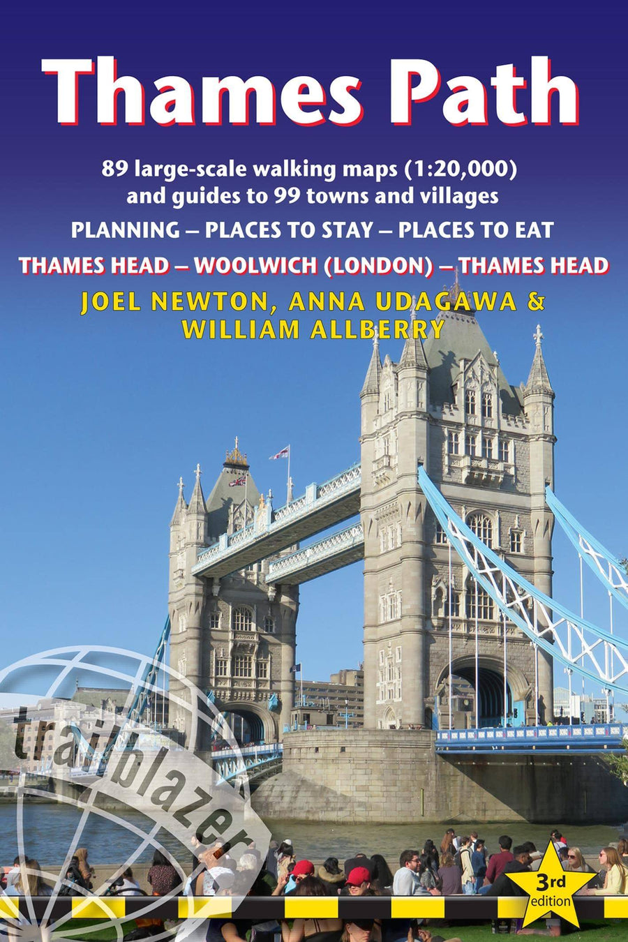
Practical, all-in-one guide to walking the Thames Path National Trail from the Costwolds to the Thames Barrier in London, including large-scale trail maps, places to stay, places to eat and public transport information.
The Thames Path's National Trail runs for 184 miles (294km) from the river's source at Thames Head near Kemble in the Cotswolds to the Thames Barrier in London. The scenery is magnificently varied ranging from wild and lonely sections of the upper reaches of the river to equally impressive urban vistas. Passing so many ancient sites - Oxford, Lechlade, Abingdon, Henley, Runnymede, Windsor and London - this is as much a walk through history as an easy ramble along a river bank.
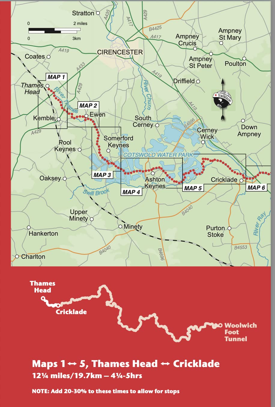
* Includes 99 walking maps - the largest-scale maps available. At a scale of just under 1:20,000 (8cm or 3-1/8 inches to one mile) these are bigger than the most detailed walking maps currently available.
* Unique mapping features - walking times, directions, tricky junctions, places to stay and eat, points of interest. These are not general-purpose maps but fully-edited maps drawn by walkers for walkers.
* Itineraries for all walkers - whether hiking the 184-mile route in its entirety or sampling the highlights on day walks or short breaks. * Includes detailed public transport information for all access points. * Practical information for all budgets - what to see, where to stay with reviews, where to eat with reviews: pubs, hotels, B&B, camping, bunkhouses, hostels. * GPS waypoints. These are also downloadable from the Trailblazer website. * Stage, overview maps 14 in full colour show gradients. * Colour flower guide - 4pp.
ISBN/EAN : 9781912716272
Date de publication : 2022
Dimensions plié(e) : 13,9 x 21,3 cm
Langue(s) : anglais
Poids :
280 g


