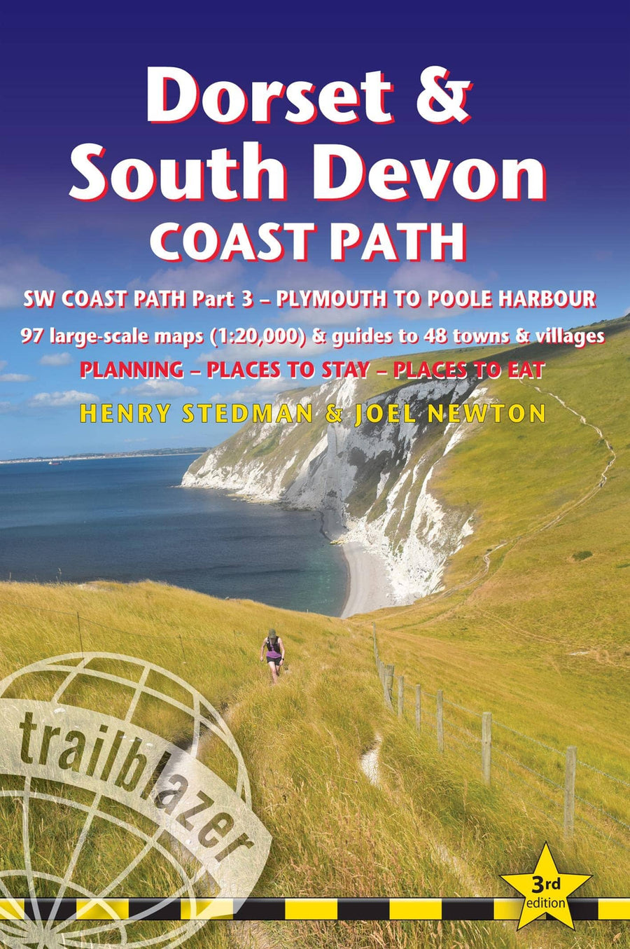
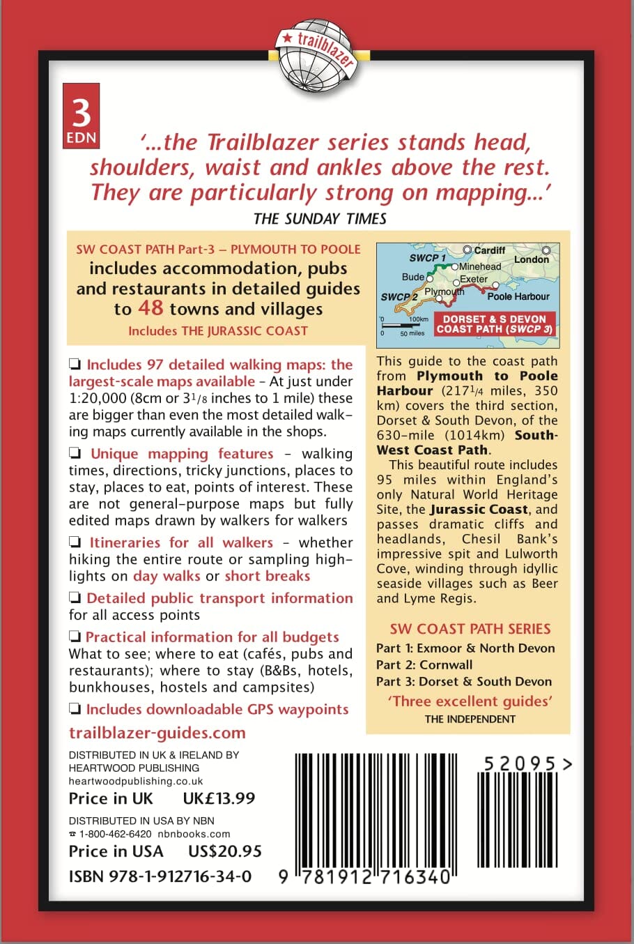
The walking guide includes:
* 97 large-scale walking maps at just under 1:20,000 - showing route times, places to stay, places to eat, points of interest and much more.
* Mapping now in NEW two-colour style
* 29 town plans, 14 colour stage maps showing hills and descents, and 2 colour overview maps.
* Places to stay with reviews - pubs, hotels, B&Bs, hostels, bunkhouses, campsites.
* Places to eat with reviews - teashops, cafes, takeaways, pubs, restaurants.
* What to see along the way - historical, cultural and geographical background information.
* Itineraries for all walkers - whether walking the route in its entirety over a week to 10 days or sampling the highlights on day walks and short breaks.
* Comprehensive public transport information - for all access points on the path.
* Flora and fauna - four page full colour flower guide, plus an illustrated section on local wildlife.
* Green hiking - understanding the local environment and minimizing our impact on it.
* Downloadable GPS waypoints.
* The information is written onto the maps, so walking directions, tricky junctions, places to stay and eat, points of interest and walking times are all written onto the maps themselves in the places to which they apply. The maps are not general-purpose ones but fully-edited maps drawn by walkers for walkers.
ISBN/EAN : 9781912716340
Date de publication : 2023
Pagination : 320 pages
Dimensions plié(e) : 13,9 x 21,3 cm
Langue(s) : anglais
Poids :
300 g


