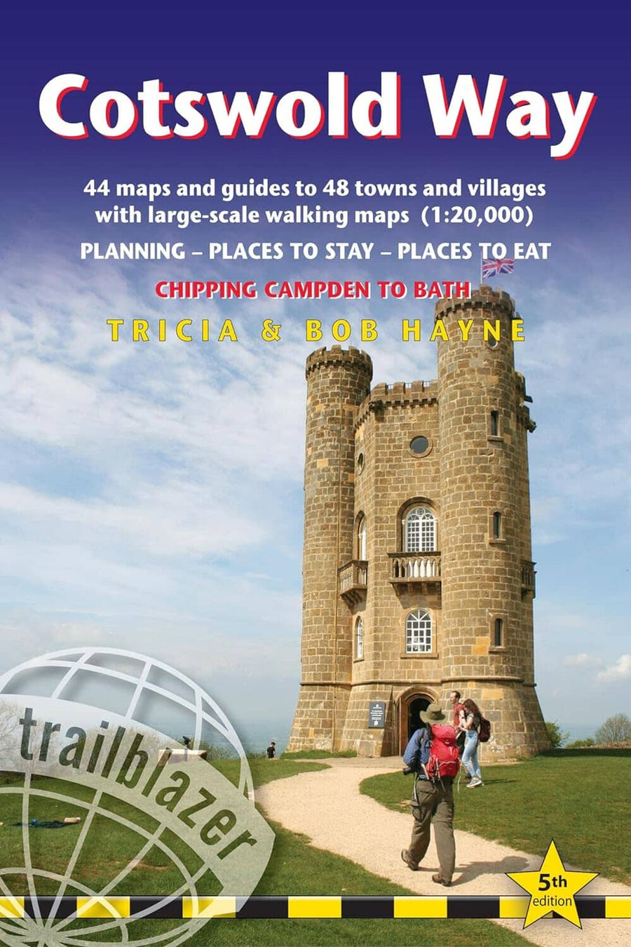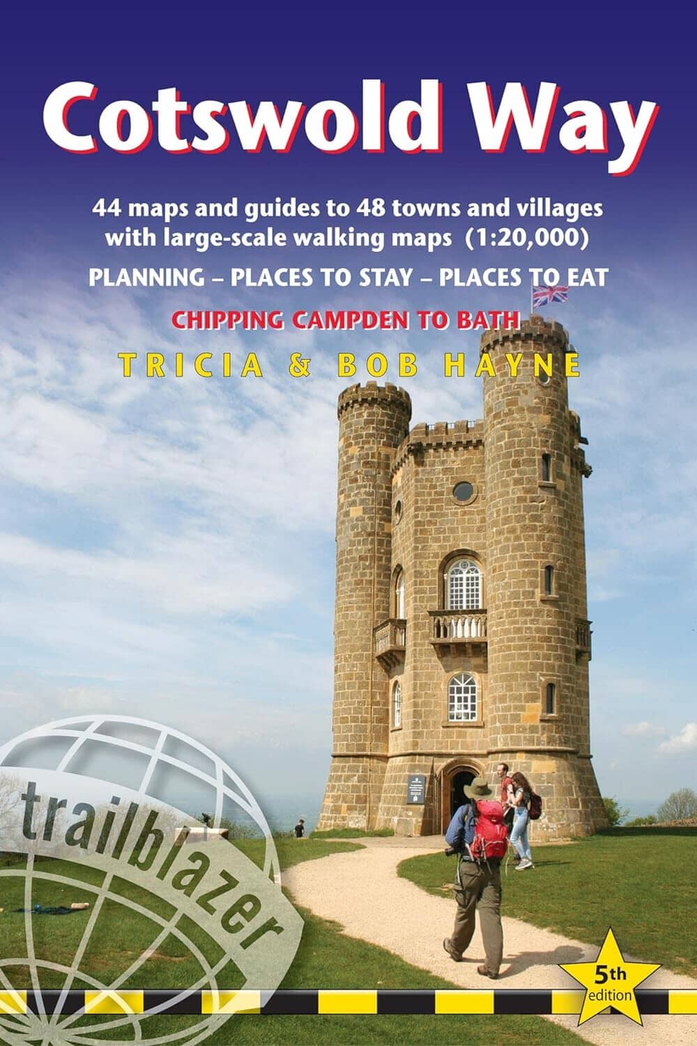
Topoguide de randonnées (en anglais) - Cotswold Way : Chipping Campden to Bath | Trailblazer guide petit format Trailblazer

Topoguide de randonnées (en anglais) - Cotswold Way : Chipping Campden to Bath | Trailblazer

Prix
Prix régulier $24.00
Prix régulier Prix réduit $24.00
Écomisez $-24
/
  • Expédition sous 24 h ouvrées depuis notre entrepôt en France
  • Frais de livraison calculés instantanément dans le panier
  • Retours gratuits (*)
  • Stocks en temps réel
  • 2 en stock
  • En rupture de stock, expédition prochainement
Taxes incluses.

Souvent achetés ensemble :

 Guide complet et pratique de la Grande Randonnée Nationale du Cotswold Way (163kms) avec cartes (1:20,000) et conseils. Elle part de Chipping Campden jusqu'a Bath et suit le magnifique paysage du Cotswold. Vous y trouverez tous les conseils pour préparer votre voyage, vous loger et vous nourrir ainsi que les informations sur les transports publics.

Description de l'éditeur :

Trailblazer British Walking Guide: Cotswold Way. All-in-one hiking route guide and large-scale walking maps (1:20,000) for the Cotswold Way, a 102-mile National Trail that runs from Chipping Campden to Bath, following the beautiful Cotswold escarpment, this is the fully revised and updated 5th edition. The trail leads through quintessentially English countryside with little villages of honey-coloured stone to the popular tourist destination of Bath.

Includes:
* 44 large-scale maps at just under 1:20,000 (3 1/8 inches to 1 mile) - showing route times, places to stay, points of interest and much more and trail profiles;
* 8 town plans - Chipping Campden, Broadway, Winchcombe, Cheltenham, Painswick, Dursley, Wotton-under-Edge, and the city of Bath and 8 overview maps.
* Full details of all accommodations and campsites, teashops, restaurants and pubs with reviews.
* Itineraries for all walkers - whether walking the route in its entirety over seven to eight days or sampling the highlights on day walks and short breaks.
* Practical information for all budgets: where to eat, what to see.
* Comprehensive public transport information - for all access points on the Cotswold Way.
* Flora and fauna - four page full colour flower guide plus an illustrated section on local wildlife.
* Green hiking - understanding the local environment and minimizing our impact on it.
* Bath city guide.
* Downloadable gps waypoints.


ISBN/EAN : 9781912716418
Date de publication : 2023
Pagination : 204 pages
Dimensions plié(e) : 13,9 x 21,3 cm
Langue(s) : anglais
Poids : 220 g

Customer Reviews

Based on 1 review
100%
(1)
0%
(0)
0%
(0)
0%
(0)
0%
(0)
R
Robert T.
Robert - Mon avis

Le contenu du livre est clair et conforme à mes attentes.
Je souhaiterais avoir en plus un lien internet à partir duquel je pourrais télécharger
les traces des différentes étapes ainsi que les Point d'Intérêts associés.

Merci d'avance.

CampingCard ACSI - Carte de réductions & Guide - Europe 2024 guide pratique ACSI
CampingCard ACSI - Carte de réductions & Guide - Europe 2022 guide pratique ACSI
CampingCard ACSI - Carte de réductions & Guide - Europe 2024
ACSI
$25.00
Guide - Randonner aux îles Lofoten guide de randonnée Topo Guide Lofoten
Guide - Randonner aux îles Lofoten
Topo Guide Lofoten
$33.00
Guide de randonnée - Madère | Rother guide de randonnée Rother
Guide de randonnée - Madère | Rother guide de conversation Rother
Guide de randonnée - Madère | Rother
Rother
$21.00
Guide de randonnée - Ténérife | Rother guide de randonnée Rother
Guide de randonnée - Ténérife | Rother
Rother
$21.00
CampingCard ACSI - Carte de réductions & Aires camping-cars Europe 2024 guide pratique ACSI
CampingCard ACSI - Carte de réductions & Aires camping-cars Europe 2022 guide pratique ACSI
CampingCard ACSI - Carte de réductions & Aires camping-cars Europe 2024
ACSI
$34.00