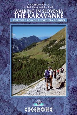
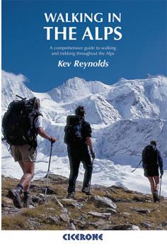
Topoguide de poche (en anglais) de l'éditeur Cicerone avec des fiches détaillées pour randonner sur les Karavanke en Slovénie.
Description fournie par l'éditeur :
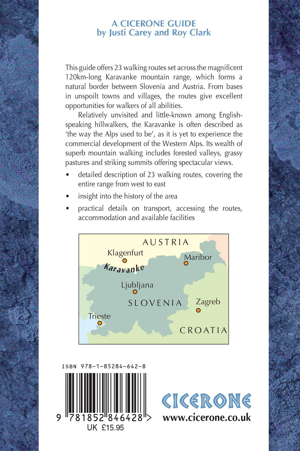
This guidebook offers 23 walking routes across the 120 km Karavanke mountain range, a natural border between Austria and Slovenia. The one and two-day routes are graded for difficulty, and range from low-level walks to high summits. The approaches are mainly from the Slovenian valleys, with bases in unspoilt towns and villages.
Seasons : Main walking season late June to early September, safely extended to include May for the wonderful bursts of spring flowers and up to mid-October for the amazing autumn colours.
Centres : Kranjska Gora, Mojstrana, Jesenice, Tržic, Solcava, Slovenj Gradec.
Difficulty : Although the Karavanke lack the steep rock and barren heights of the nearby Julian Alps, several of the peaks are over 2000m and many just under this altitude; a number of the walks include short steep sections of rock protected with steel cable and pegs; all routes graded.
Must See : Major peaks in the Karavanke are: Stol - the highest at 2236m and a stunning backdrop to beautiful Lake Bled; Uršlja Gora - the furthest eastern peak with its fine summit mountain; the majestic Košuta ridge Olševa with its prehistoric cave; Golica in May for the white daffodils.
ISBN/EAN : 9781852846428
Date de publication : 2013
Dimensions plié(e) : 12 x 17 cm
Langue(s) : anglais
Poids :
221 g


