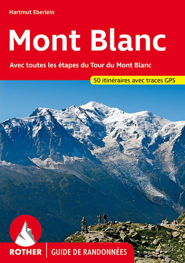
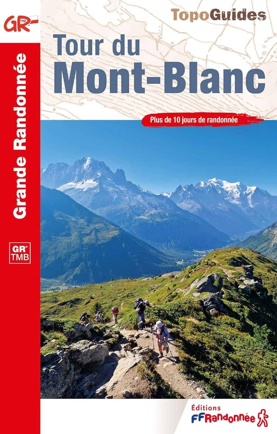
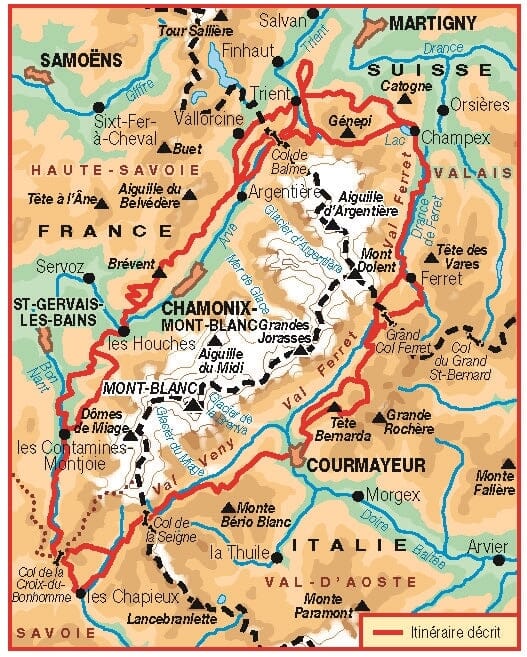
Topoguide de poche (en anglais) de l'éditeur Cicerone avec des fiches détaillées pour randonner dans le Mont Blanc.
Description fournie par l'éditeur :
Guidebook to 50 day walks in the Mont Blanc region near Chamonix and Courmayeur, plus outlines of 4 multi-day treks around both sides of the Mont Blanc massif. The walks range from 3 to 20 km and cover a variety of terrains from easy valley walks to more challenging routes over boulders, scree and on via ferratas.
Seasons : Unsurprisingly, summer is the usual season for walking in the mountains, as its when they tend to benefit from more stable weather conditions: it's also when the huts are open and the lifts are working. So to have maximum choice of walks that's the time to come. This season extends from late June to mid-September and is busiest between 14 July (Bastille Day in France) to 15 August (Assumption). Earlier, in June the weather is often hot and sunny and the days are long, but snow often remains above 2000m or lower, and can seriously interrupt a high level walk, and facilities may be closed, as is also the case in September and October: the chance of snow is far less in autumn, too.
Centres : Chamonix; Courmayeur; Ferret; Les Houches; Plaine Joux; Servoz; VallorcineDifficulty DifficultyWalks are presented as one of three grades: • Grade 1 walks are of a standard that any reasonably fit person can manage, not involving more than about 500m of ascent and/or descent. Paths are good and usually waymarked. Grade 1 walks do not call for more than basic map-reading skills. • Grade 2 walks are usually quite long and involve up to about 1000m ascent and/or descent. Terrain can be rough but paths which are quite good and waymarked. • Grade 3 routes are long, often with no trail or where the path is difficult to find; there could be some scrambling, and there is considerable height gain and loss. These walks should only be undertaken by experienced walkers who have already hiked in the Alps.
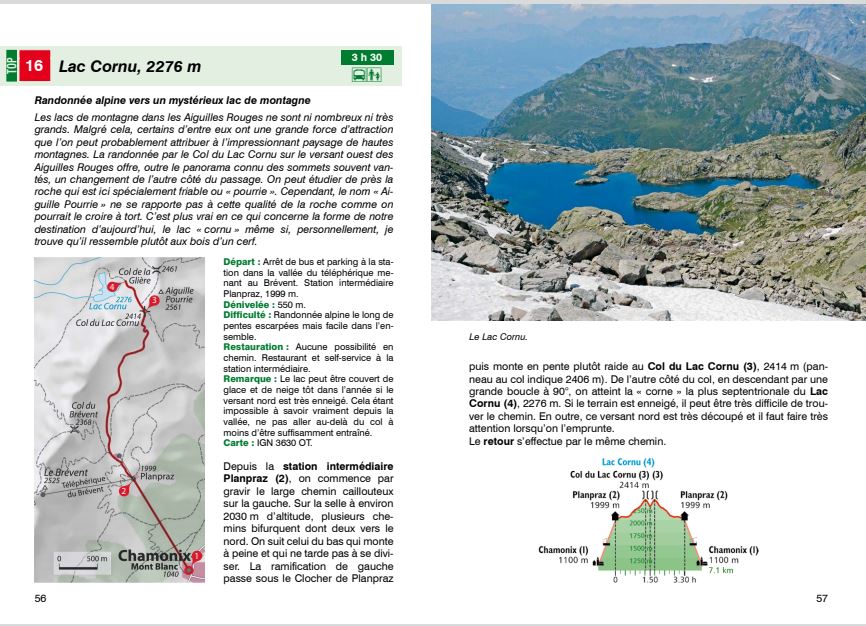
Must See : 54 alpine walks centred around Chamonix, the 'capital of mountaineering' Sublime high-altitude landscapes: glaciers, flower-decked slopes and rocky trails Gastronoic specialities including cheese, chocolate and ice cream Chamonix alpine museum, cable cars and mountain railways for the bad weather days All routes feature a detailed route description and mapping and are illustrated with spectacular photography.
ISBN/EAN : 9781852848194
Date de publication : 2016
Dimensions plié(e) : 12 x 17 cm
Langue(s) : anglais
Poids :
315 g


