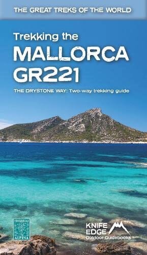
Topoguide (en anglais) pour randonner sur le GR221 à Majorque.
Description fournie par l'éditeur :
Real Maps: Full mapping inside (1:25,000) by Editorial Alpina. All accommodation is numbered and marked on the maps.
12 different itineraries: schedules of 7, 8, 9, 10 and 11 days for hikers and runners. Includes both northbound and southbound itineraries. Difficult calculations of time, distance and altitude gain/loss are done for you.
Also includes:
- Detailed information on equipment and travelling light
- Full accommodation listings: the best hotels and refugis
- Everything the trekker needs to know: route, costs, difficulty, weather, travel, and more
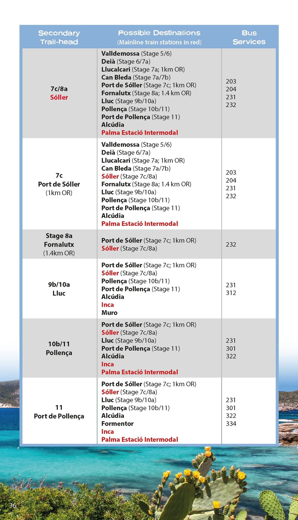
- Public Transport map and information
- Essential info for both self-guided and guided trekkers
- Information on the drystone structures along the route
- Information on plants and wildlife
- History of drystone structures along the route
- Numbered waypoints linking the Real Maps to our clear descriptions
The GR221 is one of Europe's most beautiful and aspirational treks in Europe. It travels the length of Mallorca's rugged mountain range, the Serra de Tramuntana. Along the way, you find a textbook Mediterranean landscape of azure waters, sandy beaches, rocky coves, all overlooked by rugged limestone peaks. As you pass the numerous drystone structures on the trail, you will learn plenty of the island's fascinating history and you will spend the night in some of its finest villages. This is Spain at its best and it will be an adventure that you will never forget.
ISBN/EAN : 9781912933150
Date de publication : 2023
Pagination : 148 pages
Dimensions plié(e) : 12,1 x 21 cm
Langue(s) : anglais
Poids :
255 g


