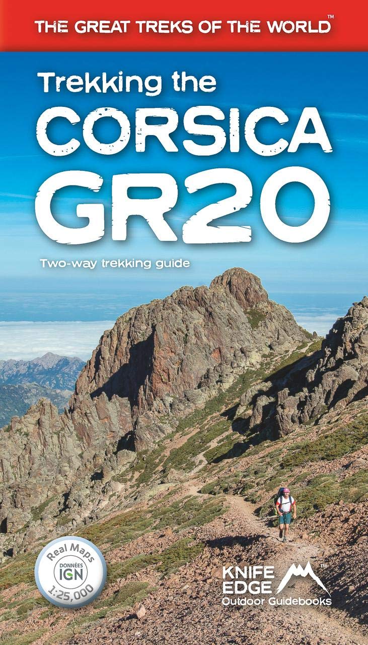
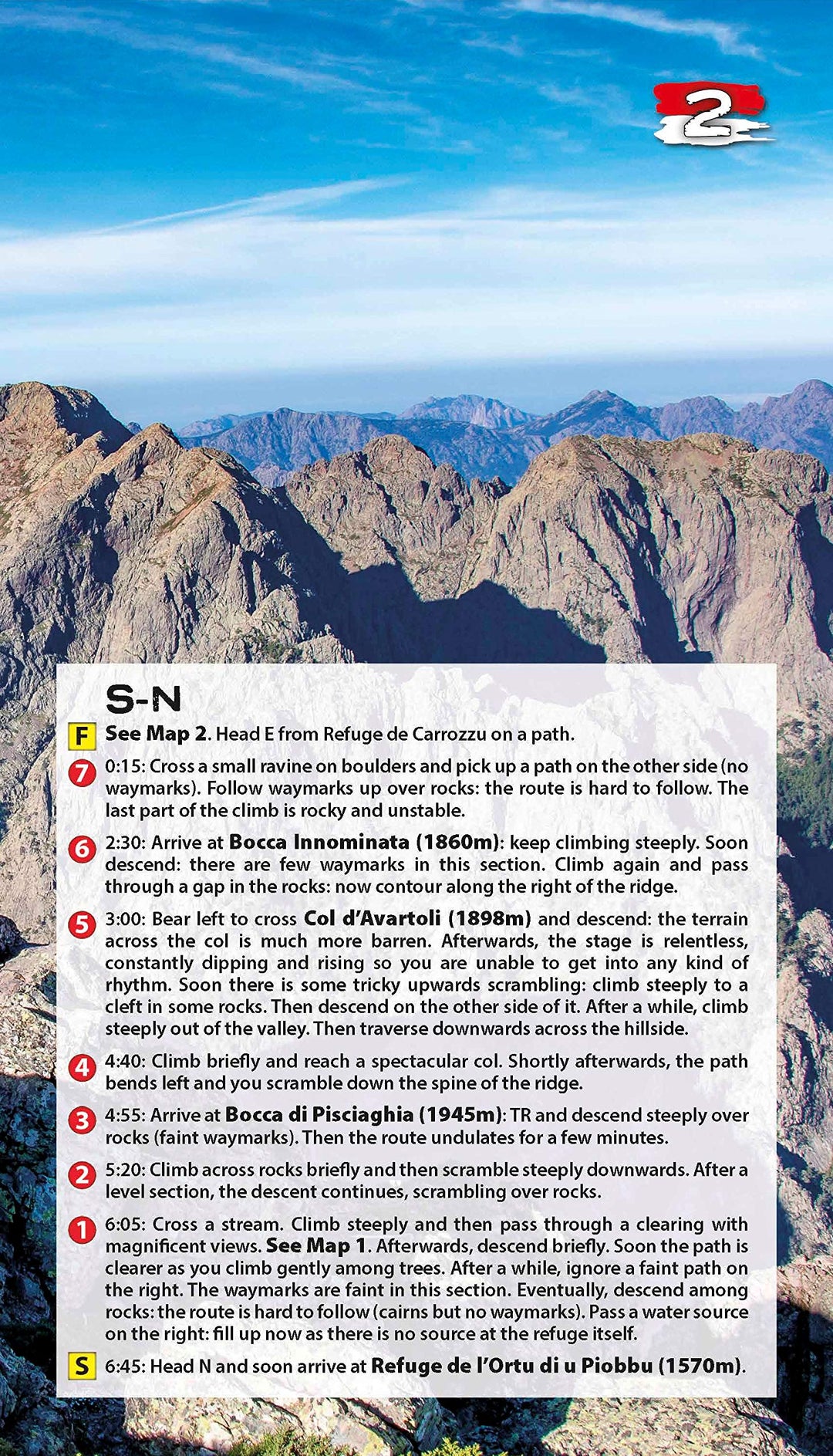
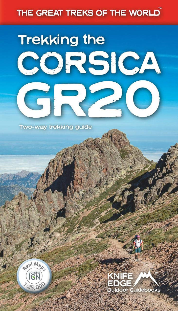
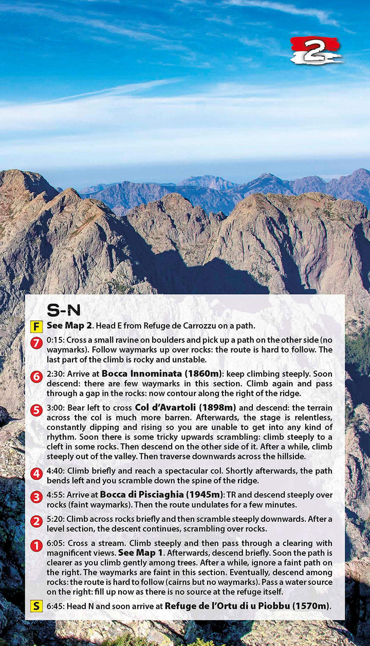
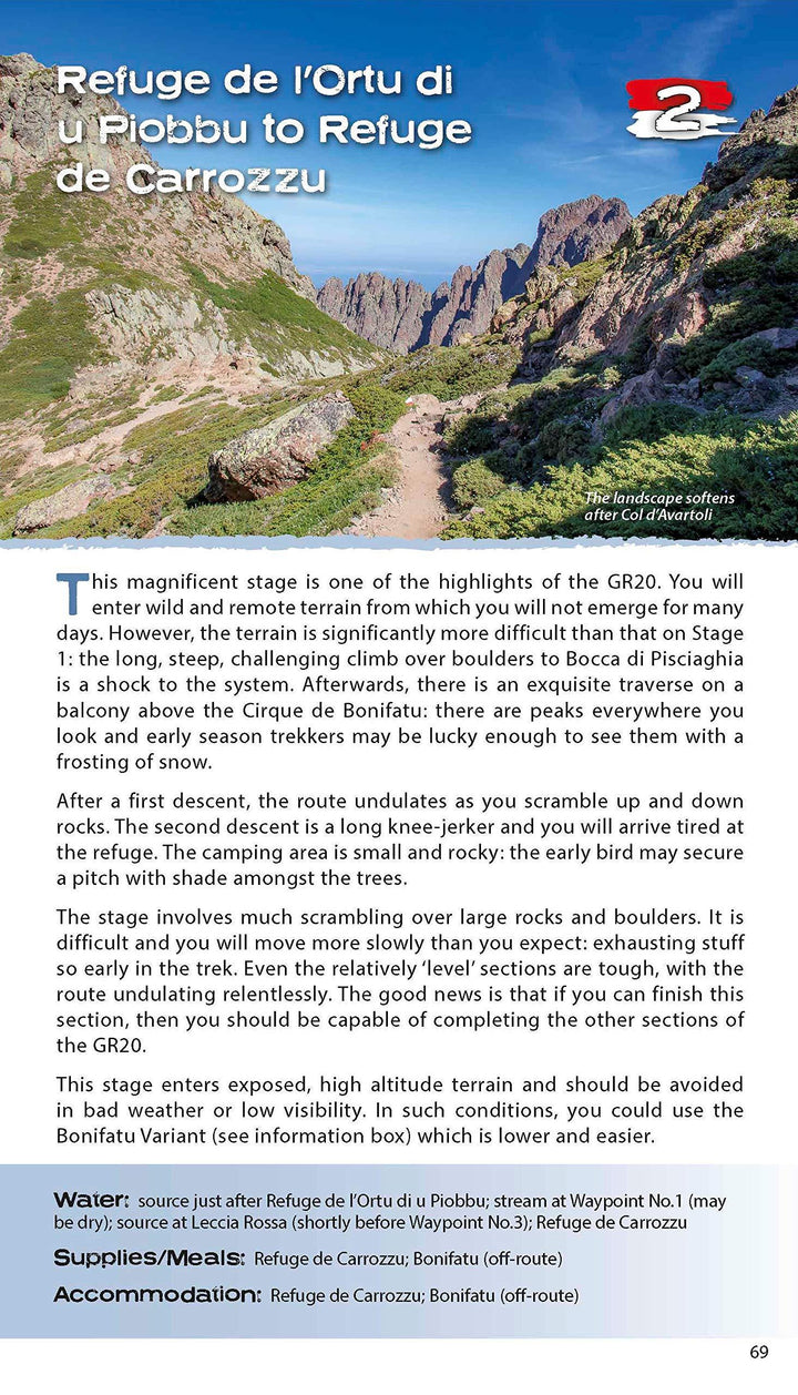
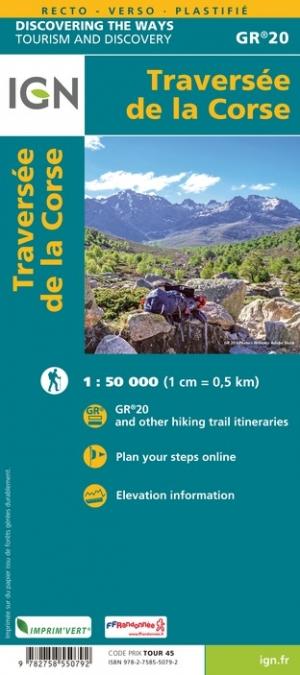
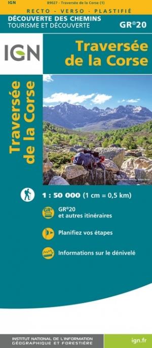
Topoguide (en anglais) du GR20 en Corse avec des fiches détaillées de chaque étape.
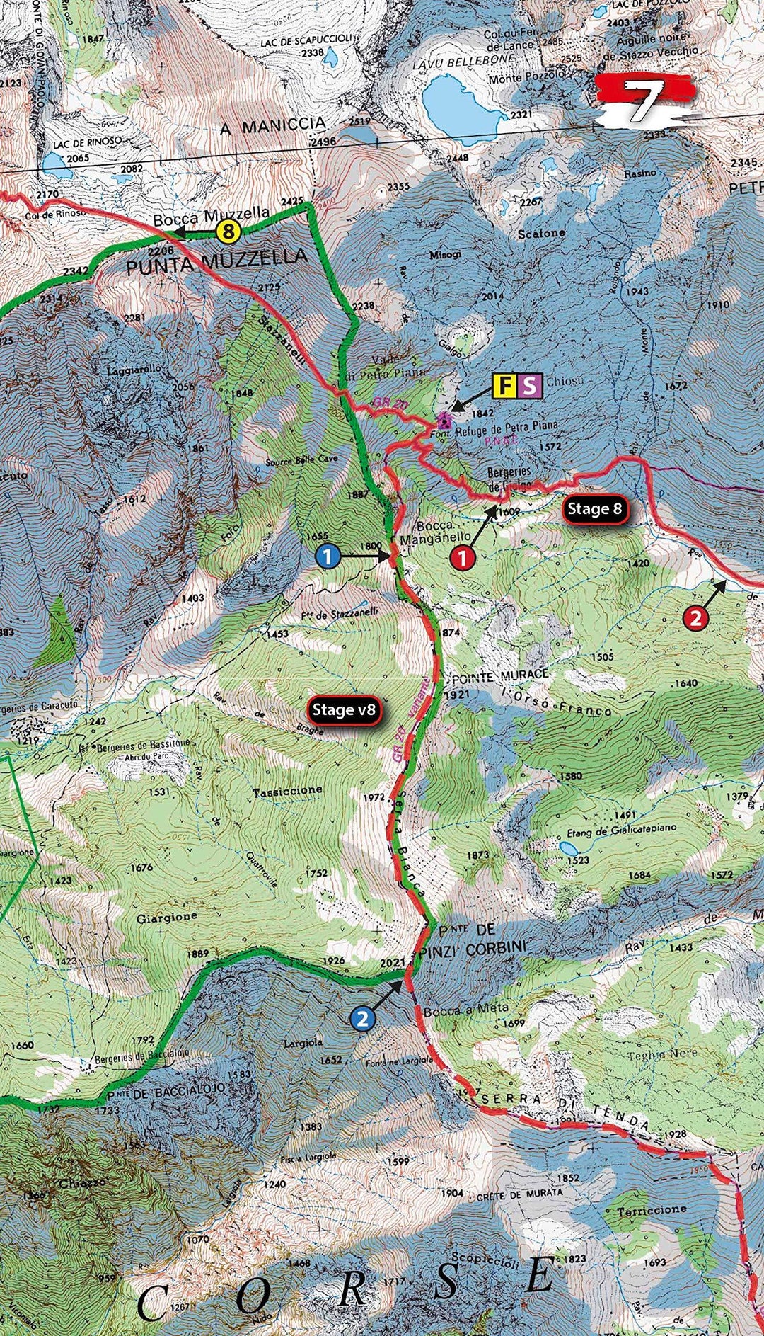
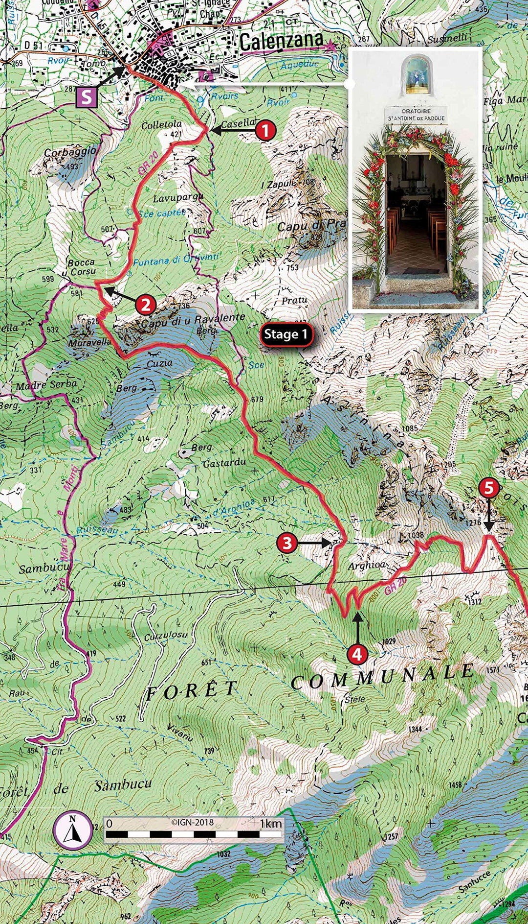
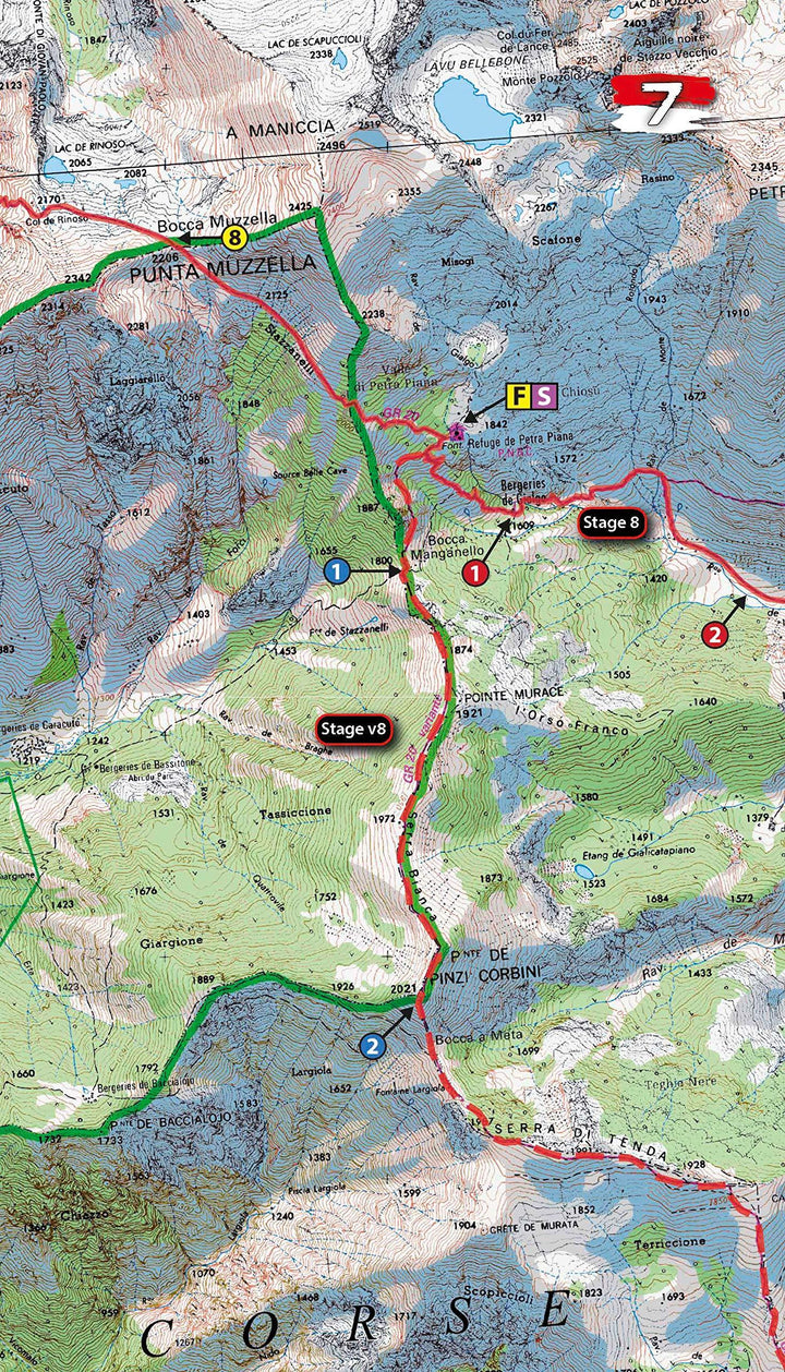
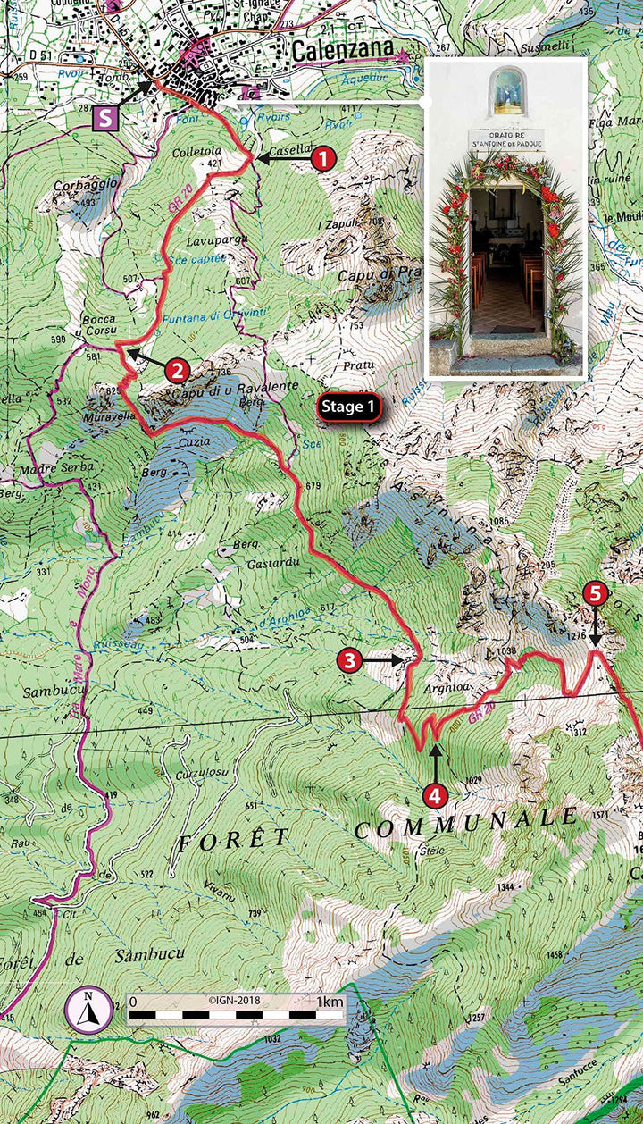
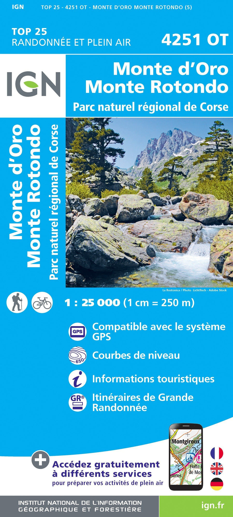
Inclut de vraies cartes au 1/25 000 de l'IGN pour chaque étape.
Description fournie par l'éditeur :
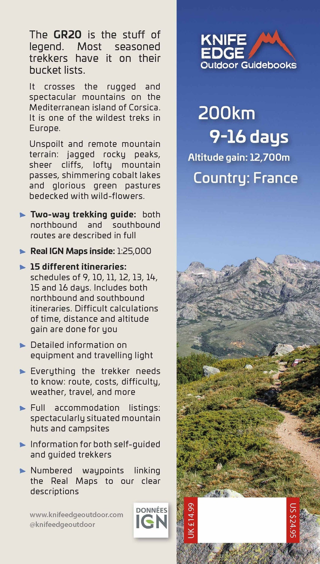
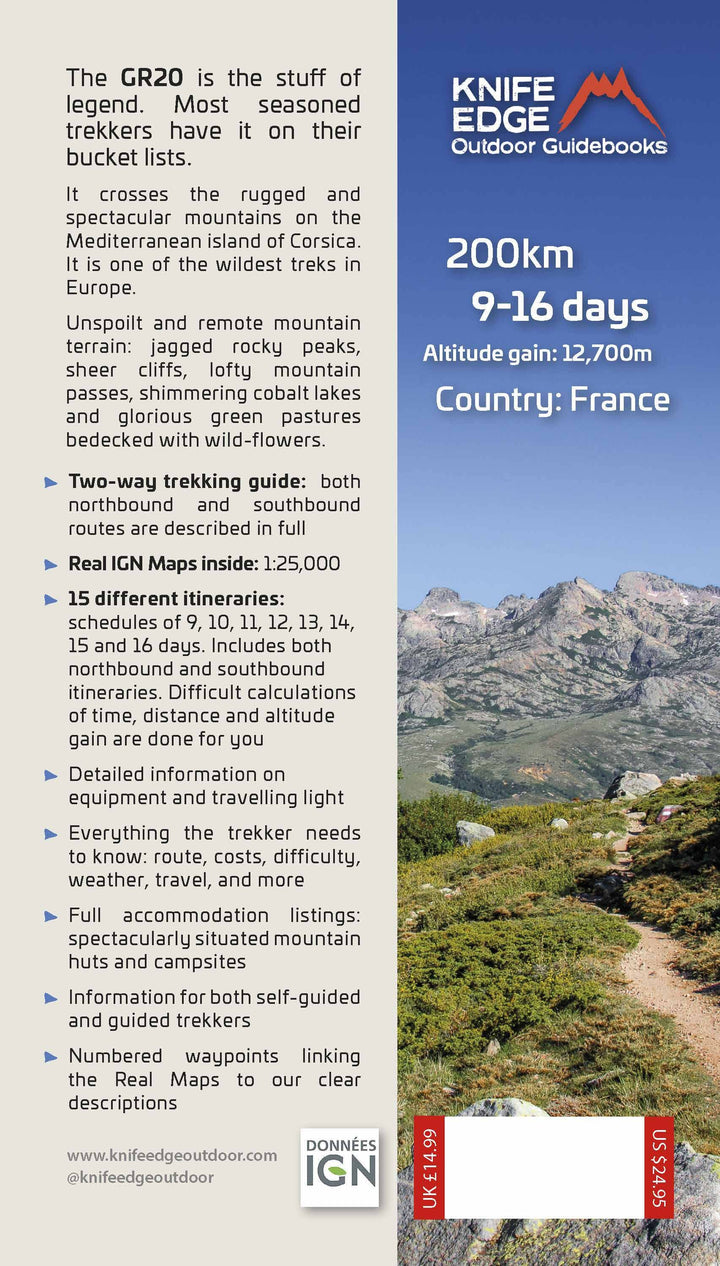
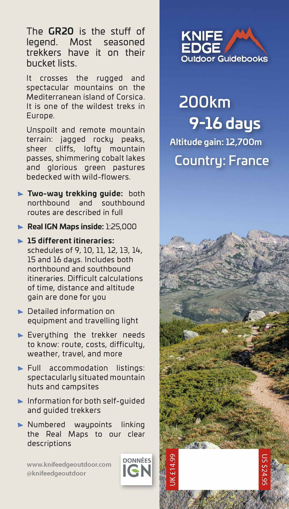
- The only two-way guidebook to the GR20: both northbound and southbound routes are described in full.
- Real IGN maps included (1:25,000): no need to carry separate maps.
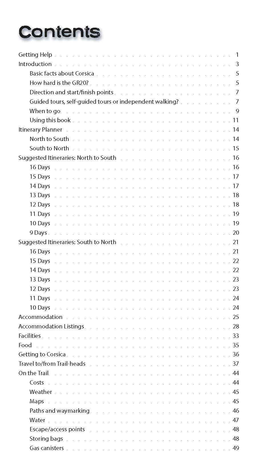
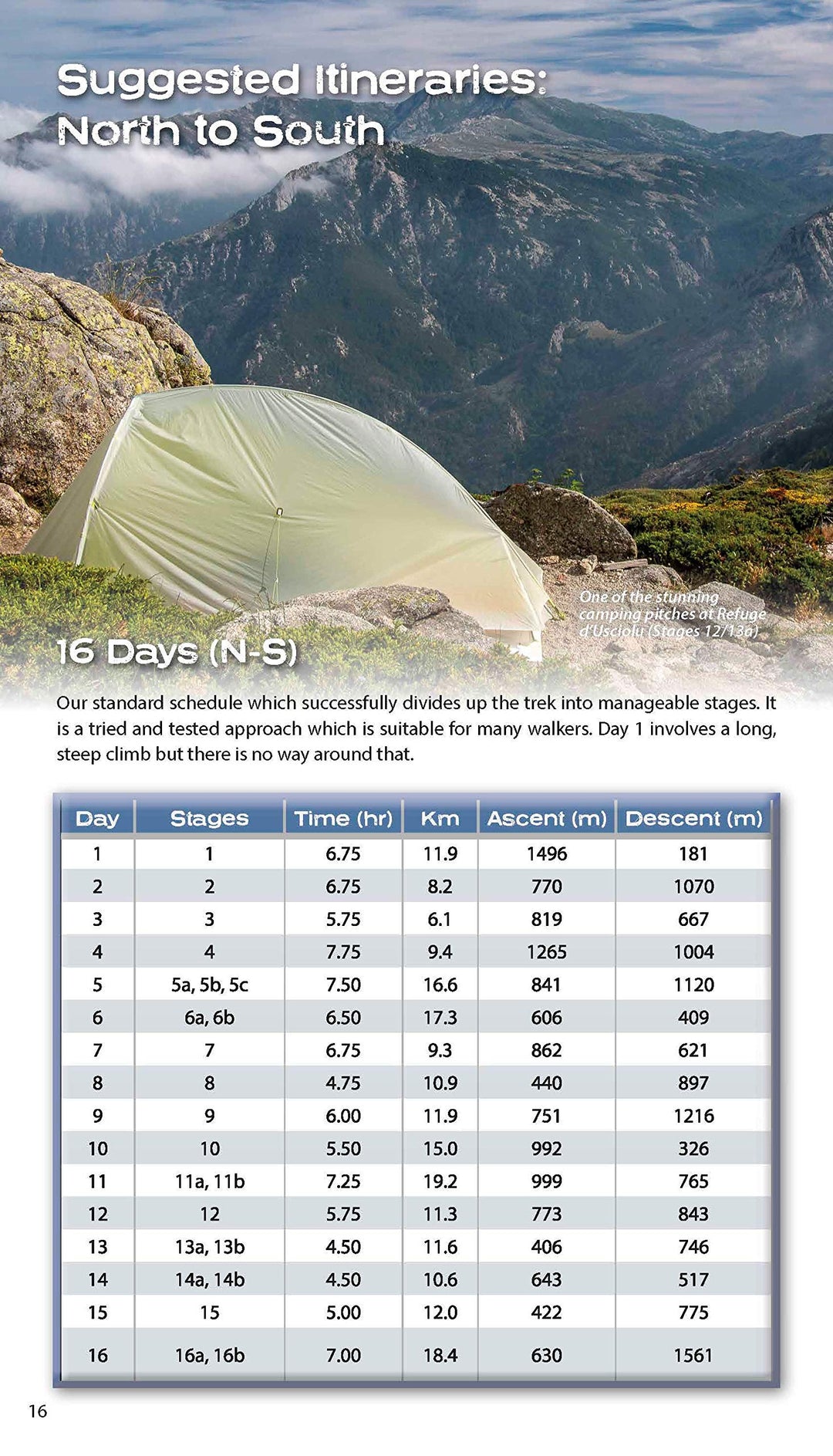
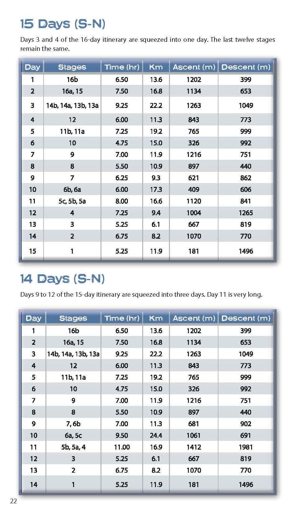
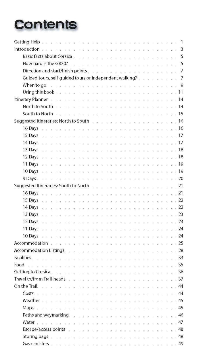
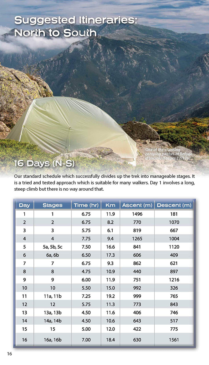
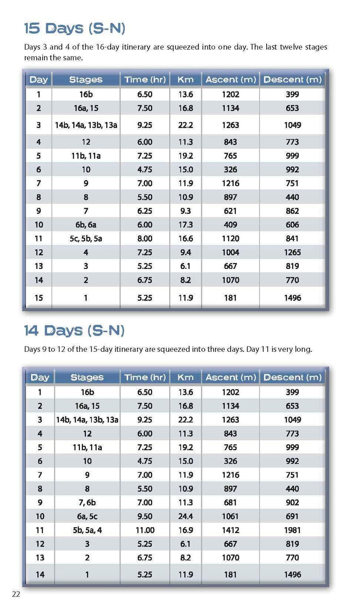
- 15 different itineraries: schedules of 9, 10, 11, 12, 13, 14, 15 and 16 days. Includes both northbound and southbound itineraries. Difficult calculations of time, distance and altitude gain are done for you.
Also includes:
- Detailed information on equipment and travelling light
- Detailed information on getting to/from all trail-heads
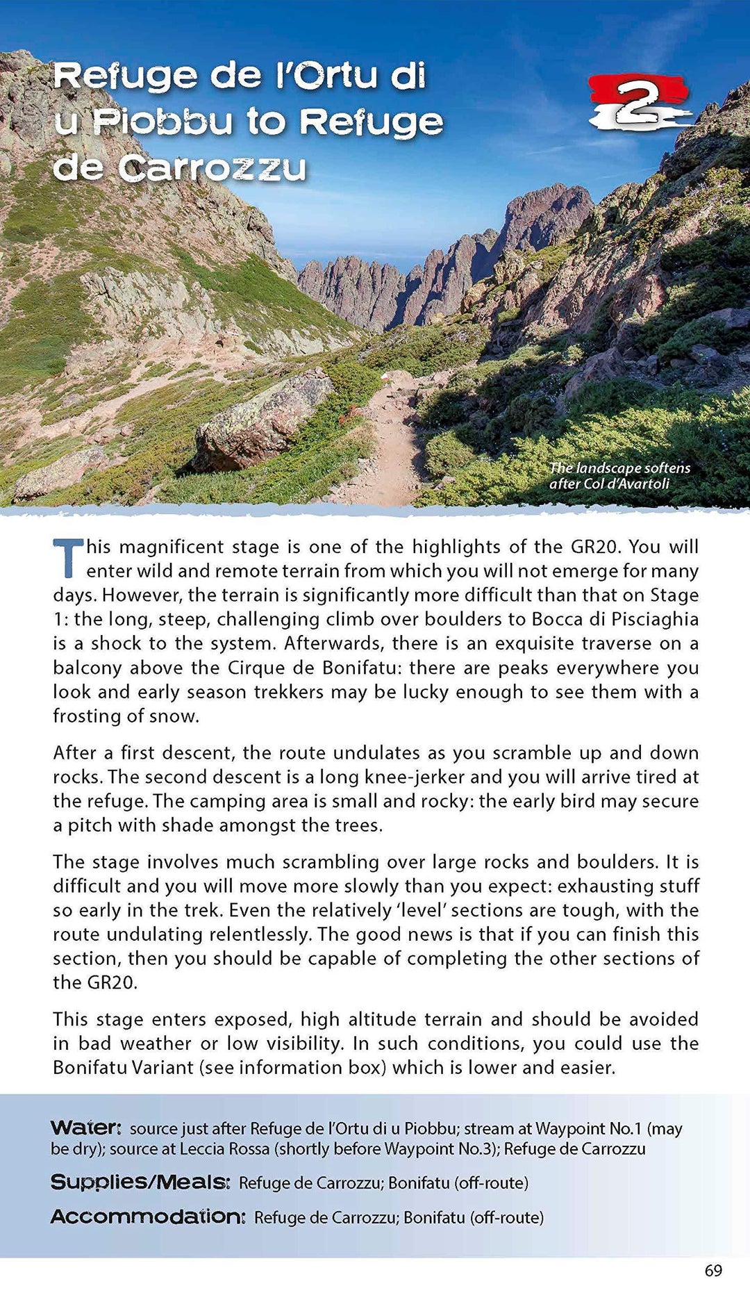
- Everything the trekker needs to know: route, costs, difficulty, weather, travel and more
- Full accommodation listings: spectacularly situated mountain huts and campsites
- Information for both self-guided and guided trekkers
- Numbered waypoints linking the Real Maps to our clear descriptions
- Information on wildlife and plants
ISBN/EAN : 9781912933051
Date de publication : 2020
Pagination : 130 pages
Dimensions plié(e) : 12,1 x 21 cm
Langue(s) : anglais
Poids :
269 g


