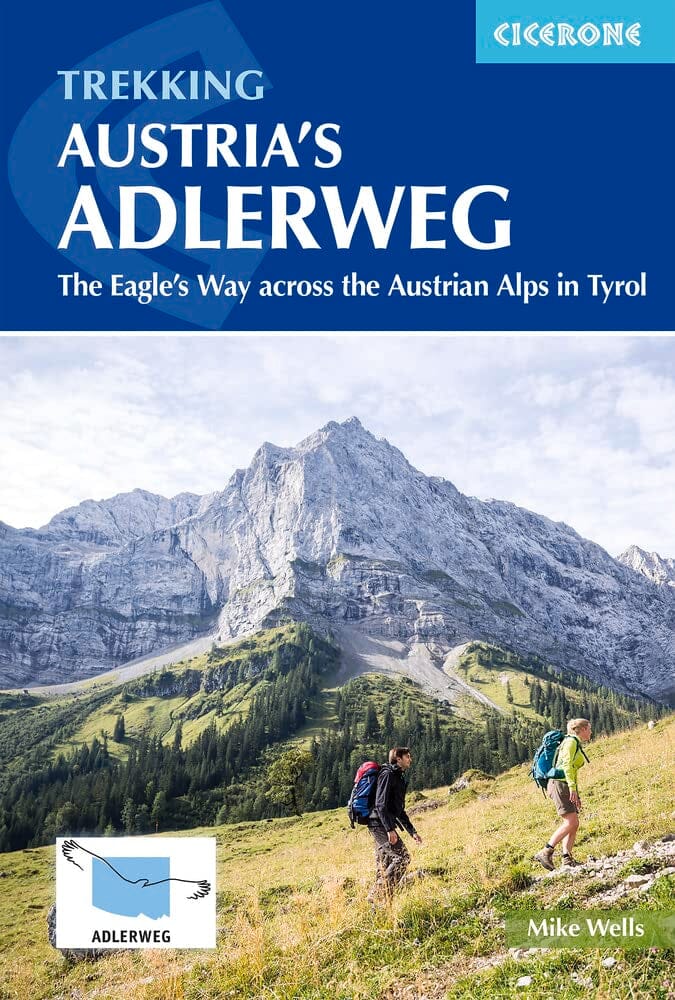
Topoguide de poche (en anglais) de l'éditeur Cicerone avec des fiches détaillées pour randonner.
Description fournie par l'éditeur :
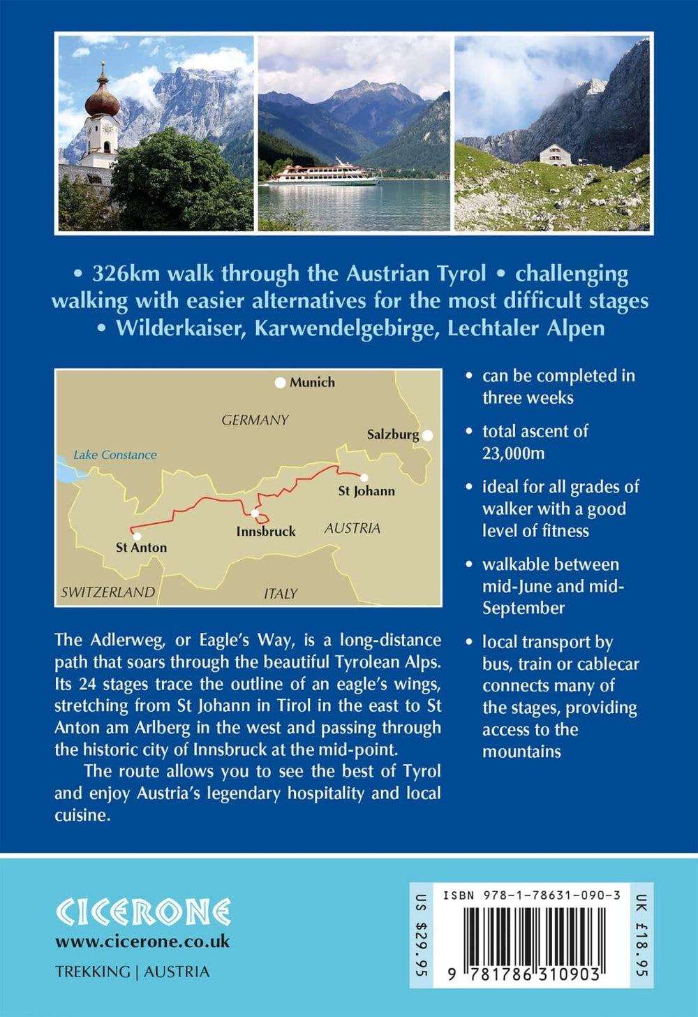
A guidebook to walking the 324km (201 mile) Adlerweg (the Eagle's way) trail between St Johann in Tirol and St Anton am Arlberg. This long-distance trail through the Austrian Tyrolean Alps is suitable for any reasonably fit, experienced walker and can be walked in 3 weeks.
- Presented in 24 stages between 7 and 32km (4-20 miles) in length
- Easier alternative routes are provided for the most difficult stages
- Route passes through Kufstein, Maurach/Pertisau (Achensee), Innsbruck, Leutasch, Ehrwald
- Highlights include Wilderkaiser, Brandenberg Alpen, Rofangebirge, Karwendelgebirge, Wettersteingebirge (Zugspitze), the Lechtaler Alpen
- 1:50,000 maps included for each stage
- Can be walked late-June to mid-September
- GPX files available to download
- Detailed information on accommodation, facilities and public transport
ISBN/EAN : 9781786310903
Date de publication : 2023
Pagination : 232 pages
Dimensions plié(e) : 12 x 17 cm
Langue(s) : anglais
Poids :
270 g


