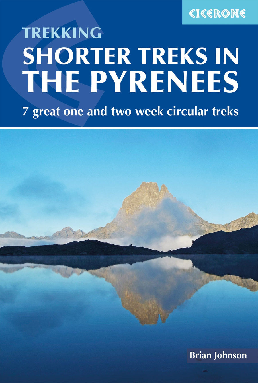
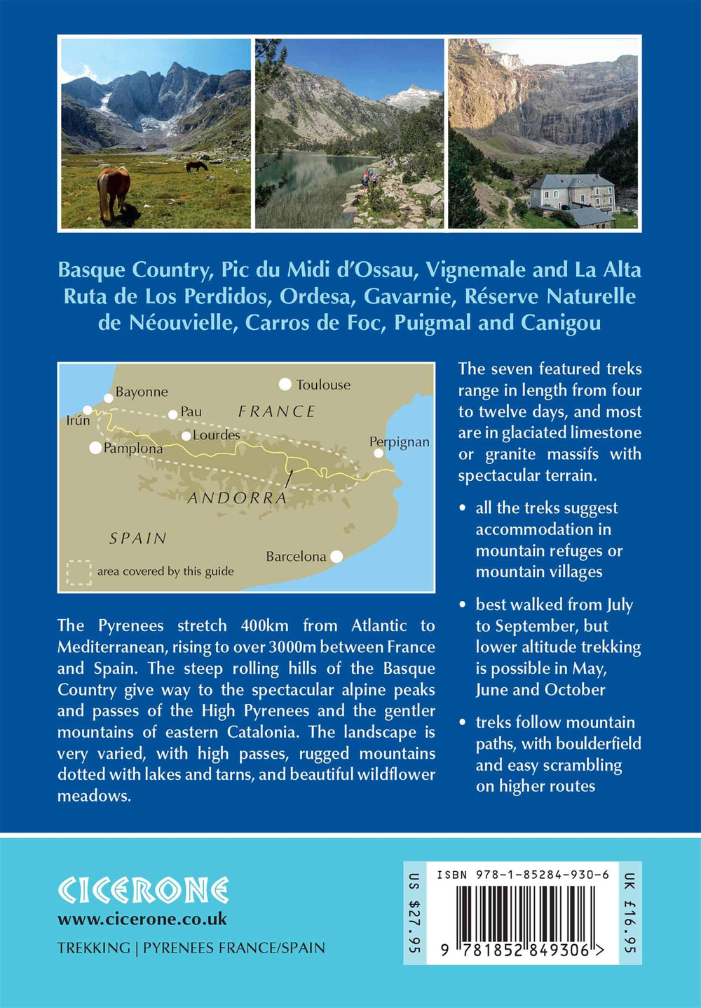
Topoguide (en anglais) de l'éditeur Cicerone qui présente 7 randonnées dans les Pyrénées.
Description fournie par l'éditeur :A guidebook to seven circular one and two week treks exploring the Pyrenees of France and Spain. The treks are designed with accommodation in mountain refuges or mountain villages at the end of each stage, though there are plenty of options to camp for those who prefer to backpack. Detailed descriptions for each stage of the route are accompanied by sketch maps and elevation profiles.
Route 1: Tour of the Basque Country - This route takes you over the steep rolling hills (in both France and Spain) at the western end of the Pyrenees. Accommodation is mainly in Basque villages with steep climbs leading to long walks along easy grassy ridges.
Route 2: Pic du Midi d Ossau - This route takes in the magnificent limestone scenery at the western end of the High Pyrenees by combining the popular Tour du Pic du Midi d Ossau, in France, with the best sections of the quieter La Senda de Camille on the Spanish side of the border.
Route 3: Tour de Vignemale and La Alta Ruta de Los Perdidos - This is the most demanding trek in the guide with easy scrambling over steep passes. The magnificent trek through the alpine terrain around Vignemale and Monte Perdido includes six of the honeypots of the Pyrenees; Cauterets, Vignemale, Gavarnie, Pineta, Ordesa and the Picos del Infierno.
Route 4: Reserve Naturelle de Neouvielle - The shortest trek in this guide takes you through the popular Reserve Naturelle de Neouvielle and the surrounding mountains in the French Parc National des Pyrenees. It visits many lakes and tarns in magnificent granite scenery and there is the opportunity to climb several peaks, including Pic du Midi de Bigorre and Pic de Bastan. The trek is based around the GR10 and one of its variations, the GR10C.
Route 5: Carros de Foc - The Carros de Foc is an understandably popular trek in the magnificent Parc Nacional d Aiguestortes i Estany de Sant Maurici, in the Spanish part of Catalonia. This is another granite massif dotted with hundreds of lakes and tarns. The huts are close together so there is a great deal of flexibility in planning, with most walkers taking 5 - 7 days for the trek.
Route 6: Tour des Montagnes d Ax and the Tour des Perics - The Ariege is a relatively unknown area at the eastern end of the High Pyrenees. This tour combines the magnificent alpine mountains of the Tour des Montagnes d Ax on either flank of the Vallee de l Ariege with the Tour des Perics in the gentler scenic mountains of the Cerdagne in the French part of Catalonia.
Route 7: The icons of Catalonia: Puigmal and Canigou - Our final tour goes through both the Spanish and French parts of Catalonia at the eastern end of the Pyrenees, taking in ascents of the two most climbed peaks in the Pyrenees; Puigmal and Canigou. Despite rising to almost 3000m the mountain ridges are gentler than in the High Pyrenees, more reminiscent of the Scottish Highlands, although the valleys still have an alpine feel. Much of the time is spent on spectacular high-level traverses of steep mountain slopes.
ISBN/EAN : 9781852849306
Date de publication : 2019
Pagination : 280 pages
Dimensions plié(e) : 12 x 17 cm
Langue(s) : anglais
Poids :
330 g


