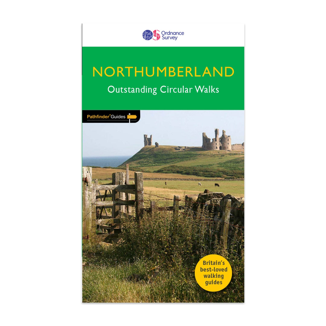
Guide de randonnées (en anglais) - Northumberland | Ordnance Survey - Pathfinder guides guide de randonnée Ordnance Survey

Guide de randonnées (en anglais) - Northumberland | Ordnance Survey - Pathfinder guides

Prix
Prix régulier $20.00
Prix régulier Prix réduit $20.00
Écomisez $-20
/
  • Expédition sous 24 h ouvrées depuis notre entrepôt en France
  • Frais de livraison calculés instantanément dans le panier
  • Retours gratuits (*)
  • Stocks en temps réel
  • En stock
  • En rupture de stock, expédition prochainement
Taxes incluses.

Souvent achetés ensemble :

Guide Pathfinder® du Northumberland, comprenant 28 promenades exceptionnelles.

Description de l'éditeur :

Features:

  • 28 guided walks for a range of abilities
  • Large detailed Ordnance Survey map extracts
  • Key information such as parking and type of terrain
  • GPS waypoints for each route
  • Weather-resistant book cover
  • Durable rounded corners

This new guide to Northumberland has ten brand-new Pathfinder walks across the county. There are new short walks at Berwick-upon-Tweed, Almouth and Bellingham. There are new half-day walks in the Coquet Valley at Felton, in the Humbleton Hills from Wooler, exploring the countryside south of the River Tyne from Hexham, and taking you along the scenic Wansbeck Valley to Morpeth from Bothal. And there are new longer walks in Hulne Park, Alnwick; along the coast and inland from Bamburgh; and a lengthy but hugely enjoyable ramble in a circuit from Druridge Bay to Warkworth and a return via Amble along the Northumberland Coast Path/England Coast Path.

The other much-loved walks in the book feature circuits along the most impressive sections of Hadrian’s Wall; in the Northumberland National Park and the Cheviot Hills; and along stretches of the stunning Northumbrian coastline at Holy Island and Dunstanburgh Castle.

Walks are professionally authored and depicted with GPS waypoints, Ordnance Survey maps and beautiful photography.


ISBN/EAN : 9780319092576
Date de publication : 2023
Pagination : 96 pages
Dimensions plié(e) : 13,7 x 23,8 cm
Langue(s) : anglais
Poids : 200 g

Customer Reviews

Be the first to write a review
0%
(0)
0%
(0)
0%
(0)
0%
(0)
0%
(0)
CampingCard ACSI - Carte de réductions & Guide - Europe 2024 guide pratique ACSI
CampingCard ACSI - Carte de réductions & Guide - Europe 2022 guide pratique ACSI
CampingCard ACSI - Carte de réductions & Guide - Europe 2024
ACSI
$24.00
Guide de randonnée - Madère | Rother guide de randonnée Rother
Guide de randonnée - Madère | Rother guide de conversation Rother
Guide de randonnée - Madère | Rother
Rother
$20.00
Guide de randonnée - Ténérife | Rother guide de randonnée Rother
Guide de randonnée - Ténérife | Rother
Rother
$20.00
CampingCard ACSI - Carte de réductions & Aires camping-cars Europe 2024 guide pratique ACSI
CampingCard ACSI - Carte de réductions & Aires camping-cars Europe 2022 guide pratique ACSI
CampingCard ACSI - Carte de réductions & Aires camping-cars Europe 2024
ACSI
$32.00