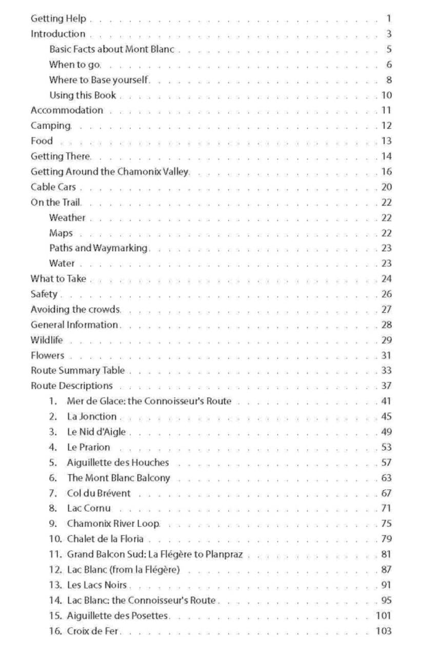
Topoguide (en anglais) pour découvrir les randonnées incontournables de la région de Chamonix Mont Blanc.
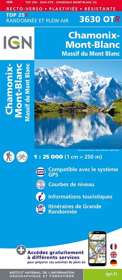
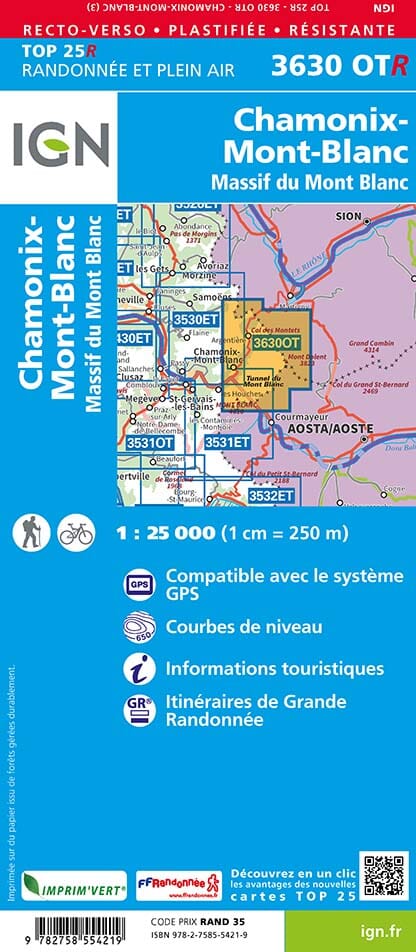
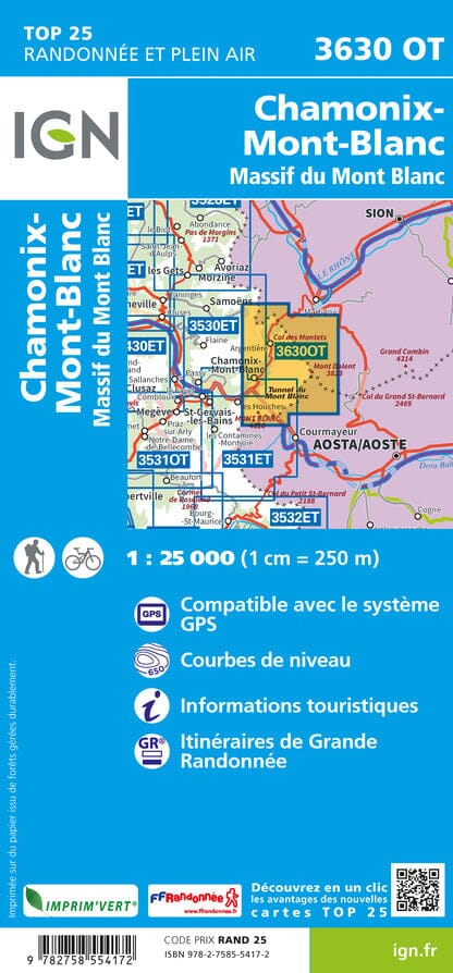
Inclut de vraies cartes au 1/25 000 de l'IGN pour chaque étape. Cela facilite la navigation et vous permet d'économiser de l'argent,
Description fournie par l'éditeur :
Real IGN Maps included (1:25,000): no need to carry separate maps.
The most epic walks in the Chamonix Valley, France. No fillers ! To make planning easy for you, only the unmissable walks made the cut. We have sifted the wheat from the chaff so that you do not have to.
Chamonix is the most famous mountain town in the world. It is where mountaineering began and its incredible hiking trails are on the bucket list of most hikers. Its peerless reputation owes everything to the mighty Mont Blanc, the highest peak in Western Europe: our hikes will take you to the finest viewpoints of the mountain and its glaciers.
Our walks have been carefully selected to enable easy access by public transport, including the Chamonix Valley s incredible cable car network.
Also includes:
- Numbered waypoints linking the Real Maps to our clear descriptions
- Graded routes to suit all abilities
- Everything the hiker needs to know: route descriptions, difficulty, weather, how to get there, and more
- Detailed information on cable cars and public transport
- Information on Wildlife and Plants
ISBN/EAN : 9781912933044
Date de publication : 2020
Pagination : 130 pages
Dimensions plié(e) : 12,1 x 21 cm
Langue(s) : anglais
Poids :
235 g