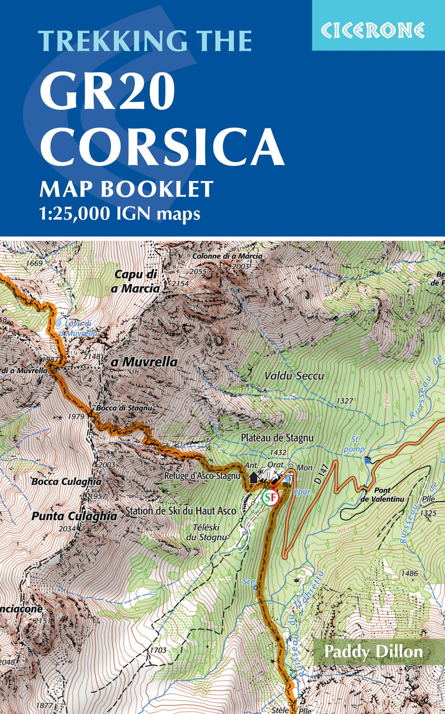
Topoguide (en anglais) de l'éditeur Cicerone avec des fiches détaillées pour randonner sur le GR20 en Corse.
Description fournie par l'éditeur :
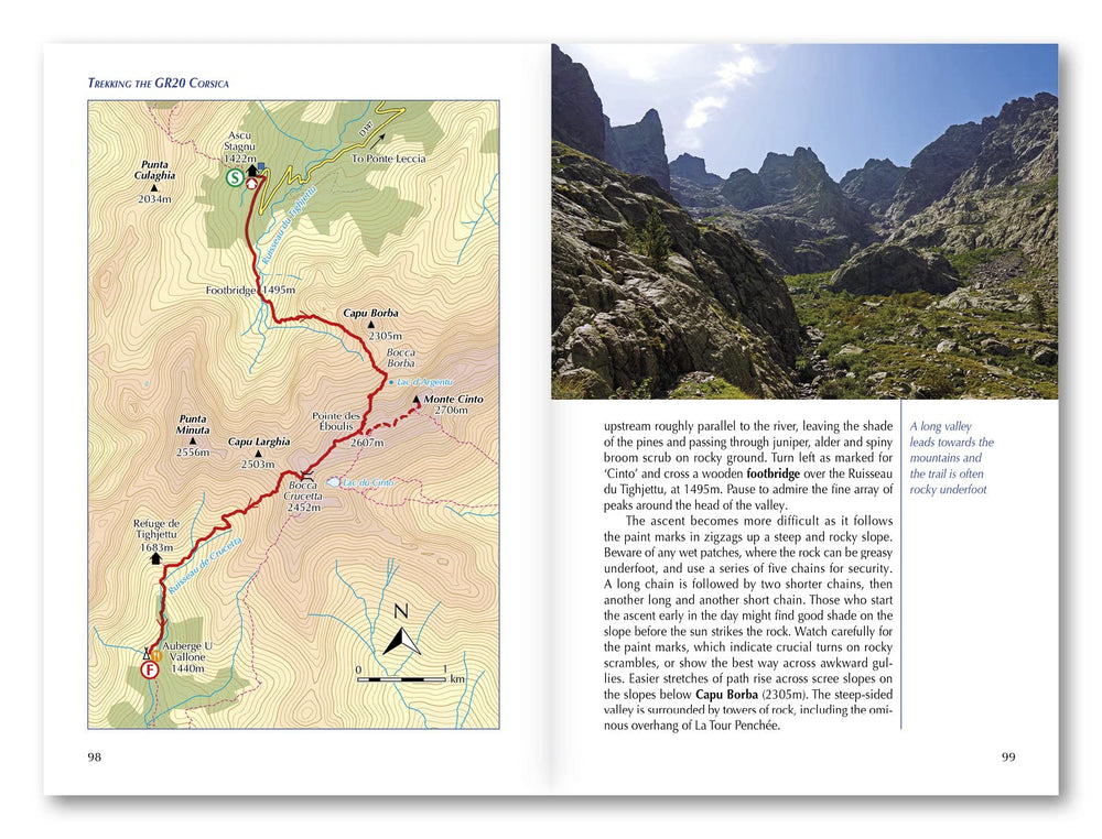
This guidebook describes the classic GR20 trek, a north-to-south traverse of the rugged mountains of Corsica, renowned as Europe's toughest GR long-distance route. Described in 16 stages, some with high and low-level alternatives, the route is roughly 190km in length and takes approximately two weeks to complete. A separate map booklet, included with the guide, provides all the 1:25,000 IGN mapping needed to complete the GR20. Step-by-step descriptions of each stage are accompanied by 1:50,000 mapping, together with information on ascent/descent, terrain and the availability of food, water and accommodation/shelter. There is also invaluable practical information such as path conditions, what to take, and getting to/from and around Corsica.
The GR20 climbs high into the mountains. It is a demanding trek suitable only for experienced walkers, and there are several steep 'hands-on-rock' sections calling for a sure foot and a good head for heights. It is possible to stay under a roof every night but many trekkers opt to camp.
Starting in Corsica's northwest, in picturesque Calinzana, the route winds southeast through the heart of the island, finishing on the eastern side, just north of Porto Vecchio in the township of Conca. There are also opportunities to detour from the route to visit traditional mountain towns and villages for a taste of Corsica's vibrant history and culture and to take in neighbouring summits, including the island's highest peak, Monte Cinto.
ISBN/EAN : 9781786310675
Date de publication : 2022
Pagination : 304 pages
Dimensions plié(e) : 12 x 17 cm
Langue(s) : anglais
Poids :
430 g


