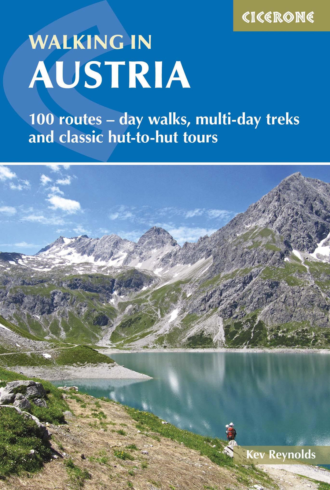
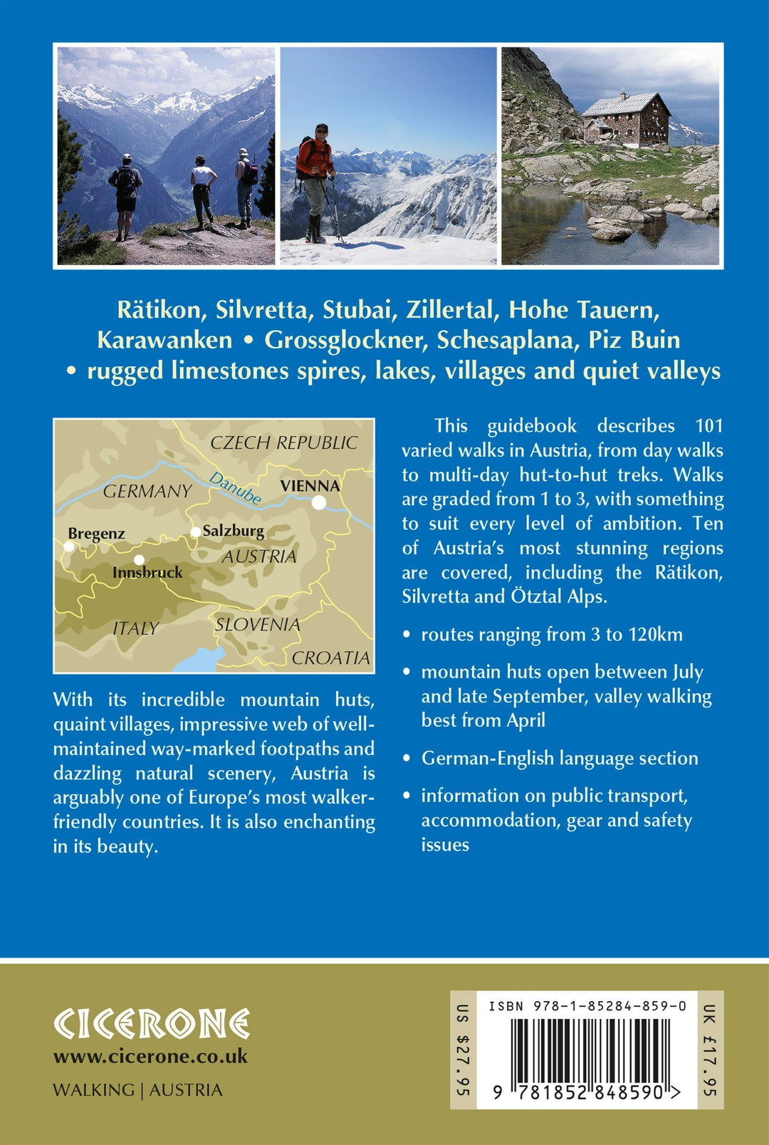
Topoguide de poche (en anglais) de l'éditeur Cicerone avec des fiches détaillées pour randonner en Autriche.
Description fournie par l'éditeur :
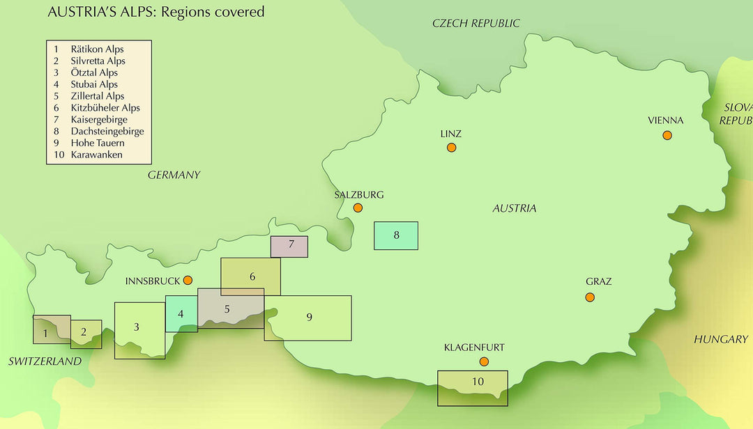
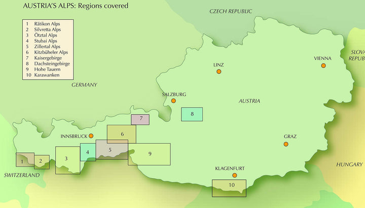
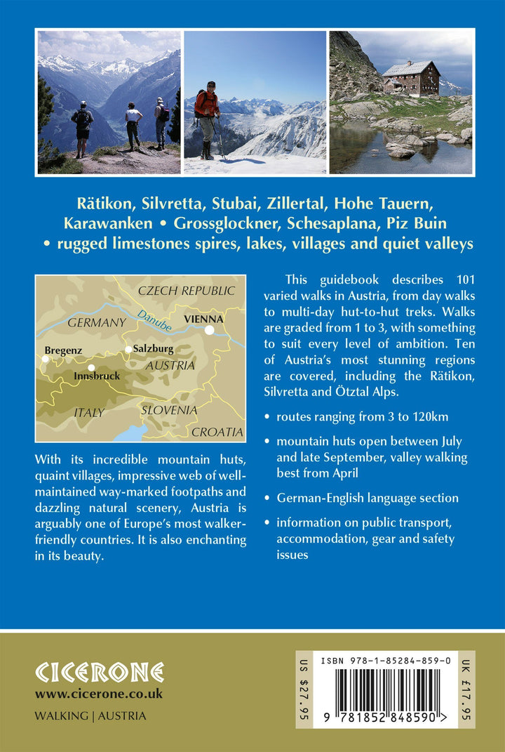
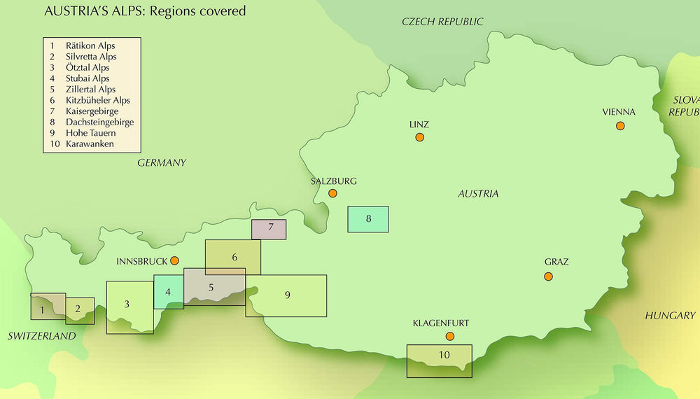
A comprehensive guidebook to walking routes in Austria. 101 routes, day walks, multi-day treks and classic hut-to-hut tours in the Ratikon, Silvretta, Stubai, and Zillertal Alps, the Hohe Tauern, and the Karawanken. With information on transport, accommodation, gear and safety, plus full details of over a hundred Austrian mountain huts.
Seasons : Austrian mountain huts are staffed from July to the end of September, but often open for longer. Campsites are open from May to September. Valley walking from April; mountain walking from June (peaks over 1500m snow free by end of May to late October).
Centres : Brand, Schruns, Tschagguns, Gargelle, St Gallenkirch, Gaschurn, Bielerhöhe, Galtür, Ischgl, Feichten, Plangeross, Mandarfen, Längenfeld, Sölden, Obergurgl, Längenfeld, Kühtai, Gries im Sellrain, Neustift, Zell am Ziller, Mayrhofen, Finkenberg, Westendorf, Brixen, Kitzbühel, Söll, Scheffau, Ellmau, Saalbach, Hinterglemm, Zell am See, Kufstein, Scheffau, Ellmau, Going, St Johann in Tirol, Filzmoos, Ramsau, Hallstatt, Badgastein, Kaprun, Matrei in Osttirol, Kals am Grossglockner, Ferlach, Bad Eisenkappel.
Difficulty : -Grade 1: Mostly short walks along gently graded paths or tracks with little height gain. -Grade 2: Moderate walking, usually on clear footpaths with reasonable height gain. -Grade 3: More strenuous routes, sometimes on rough paths. Some modest scrambling, or the use of ladders, fixed ropes or cables as support.
Must See : Grossglockner, Schesaplana, Piz Buin, Dreiländerspitze, Wildspitze, Kalkkogel, Wilder Kaiser, Zell am See, Gosaukamm, Bischofsmütze, Hochstuhl - alpine flowers and wildlife - glaciers and meadows.
ISBN/EAN : 9781852848590
Date de publication : 2016
Pagination : 432 pages
Dimensions plié(e) : 12 x 17 cm
Langue(s) : anglais
Poids :
480 g


