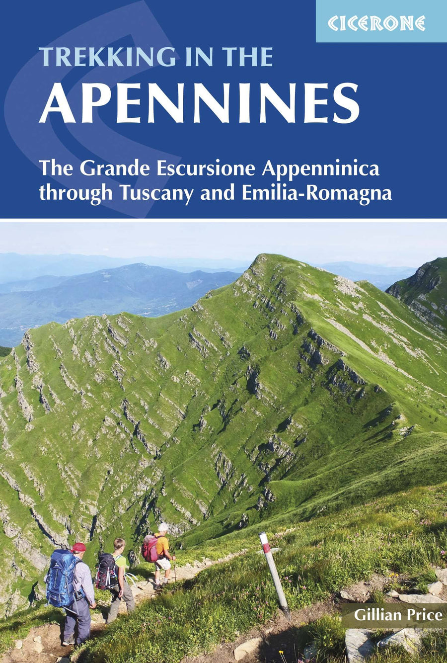
Topoguide (en anglais) de l'éditeur Cicerone avec des fiches détaillées pour randonner dans les Apennins.
Description fournie par l'éditeur :
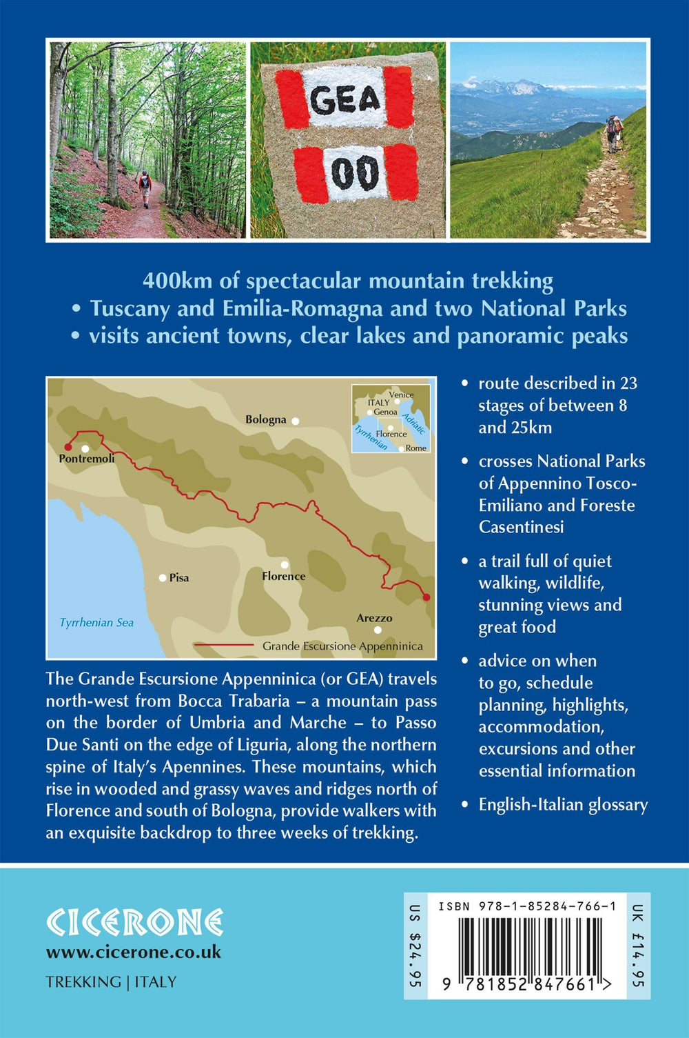
Guidebook to the Grand Apennines Trek, or Grande Escursione Appenninica (GEA). Through Tuscany and Emilia-Romagna and 2 national parks, this 400 km trail takes 23 days to complete, exploring the mountains, forests and hills of central Italy. Suitable for a range of walkers, it can be split into shorter sections or day walks if needed.
Seasons : Spring through to autumn: late June-September fits best with accommodation availability in the central section.
Centres : Abetone, Arezzo, Bibbiena, Bologna, Parma, Pieve Pelago, Pistoia, Pontremoli, Porretta Terme, Prato, Reggio Emilia, Sansepolcro.
Difficulty : No special experience needed: any fit walker can embark on this route, and there are plenty of short sections, making the route perfect for bespoke walking holidays. The few moderately exposed stretches can always be detoured.
Must See : The Casentino National Park and Franciscan sanctuaries; the WW2 Gothic line; open ridges on the northern stretch; alpine-style lakes in the Apennines National Park; Monte Prado, Tuscany's highest peak (2054m); magnificent beech woods; alpine flowers.
ISBN/EAN : 9781852847661
Date de publication : 2016
Dimensions plié(e) : 12 x 17 cm
Langue(s) : anglais
Poids :
178 g


