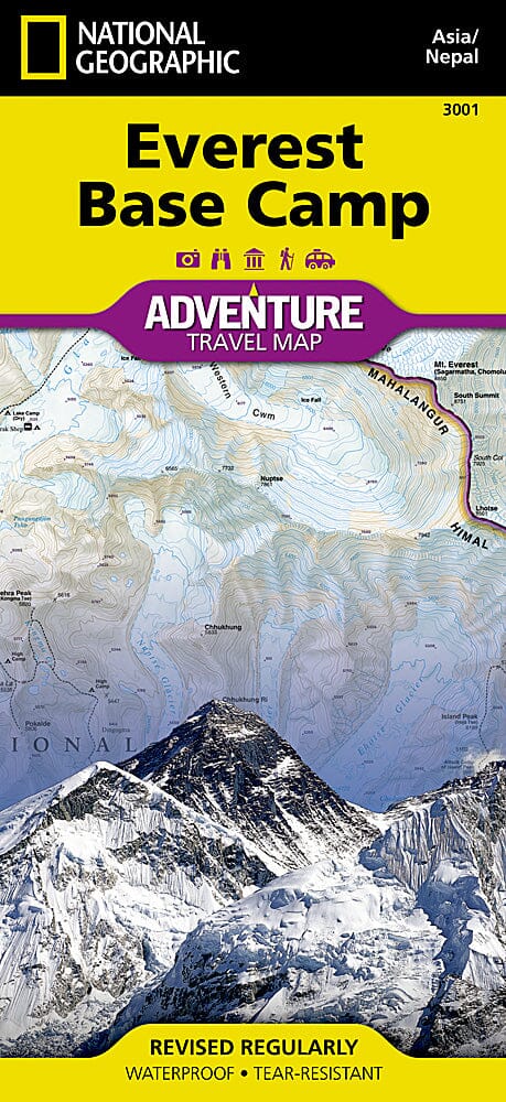
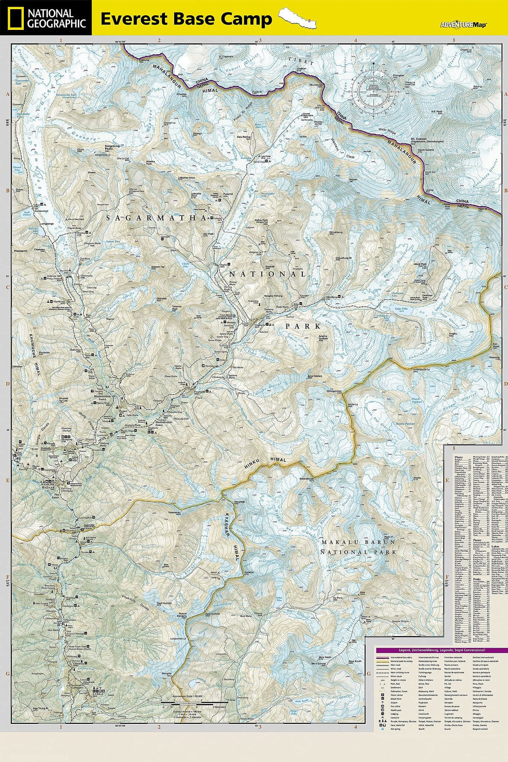
Carte de randonnée - Everest Base Camp | Knife Edge Outdoor
Prix régulier
$2600
$26.00
Prix régulier
Prix réduit
$2600
$26.00
Écomisez $-26
/
No reviews
- Expédition sous 24 h ouvrées depuis notre entrepôt en France
- Frais de livraison calculés instantanément dans le panier
- Retours gratuits (*)
- Stocks en temps réel
- En stock
- En rupture de stock, expédition prochainement
Zones géographiques et catégories liées : Everest, Himalaya, Nouveautés


