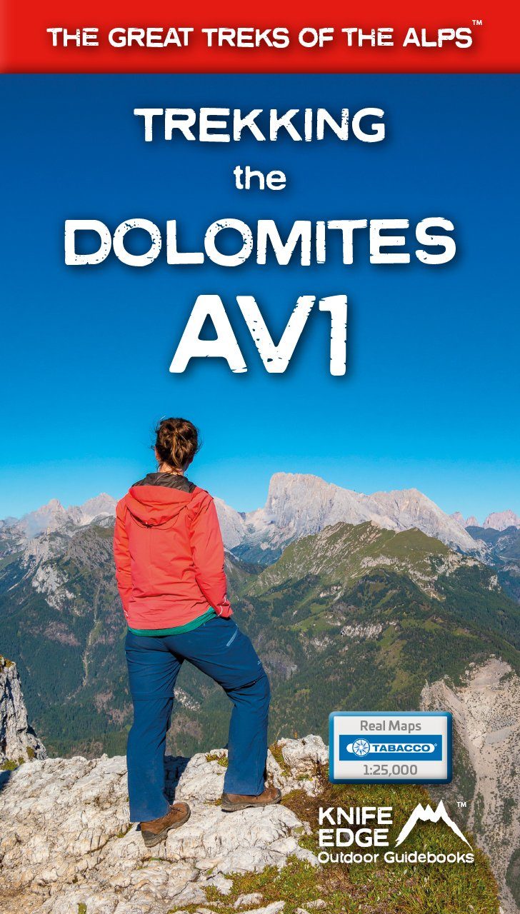
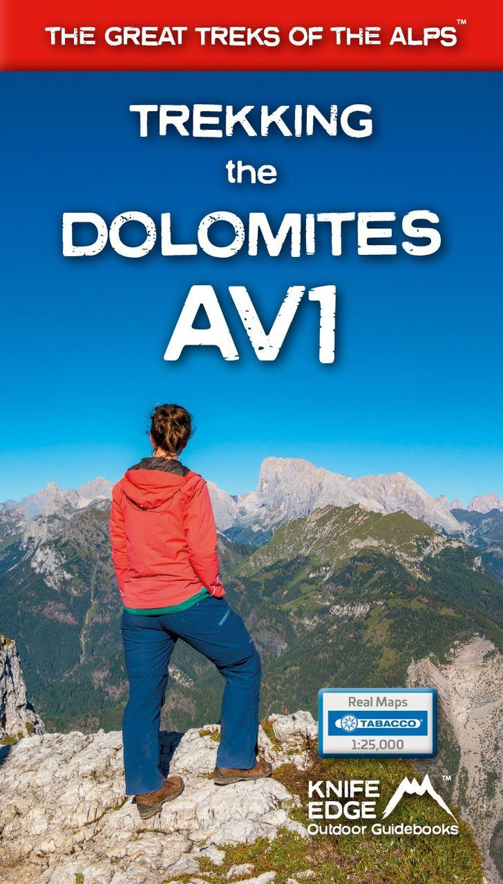
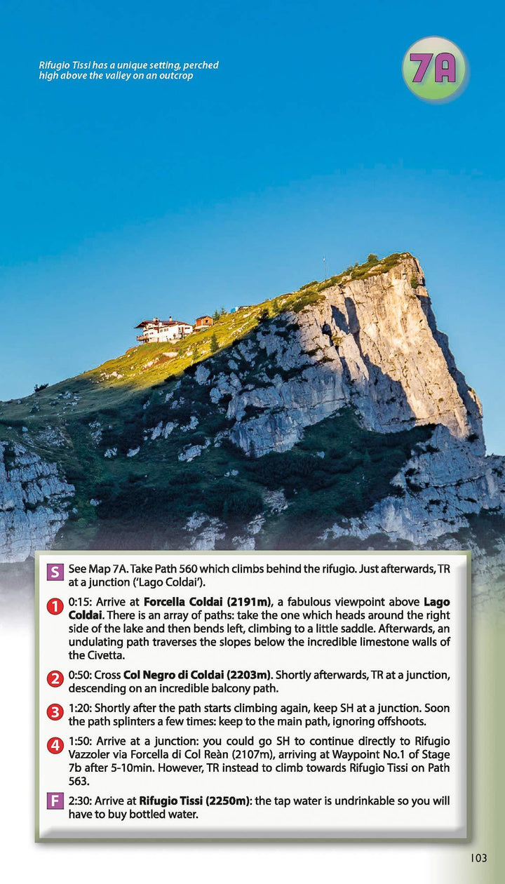
Topoguide (en anglais) pour découvrir le sentier Alta Via 1 dans les Dolomites.
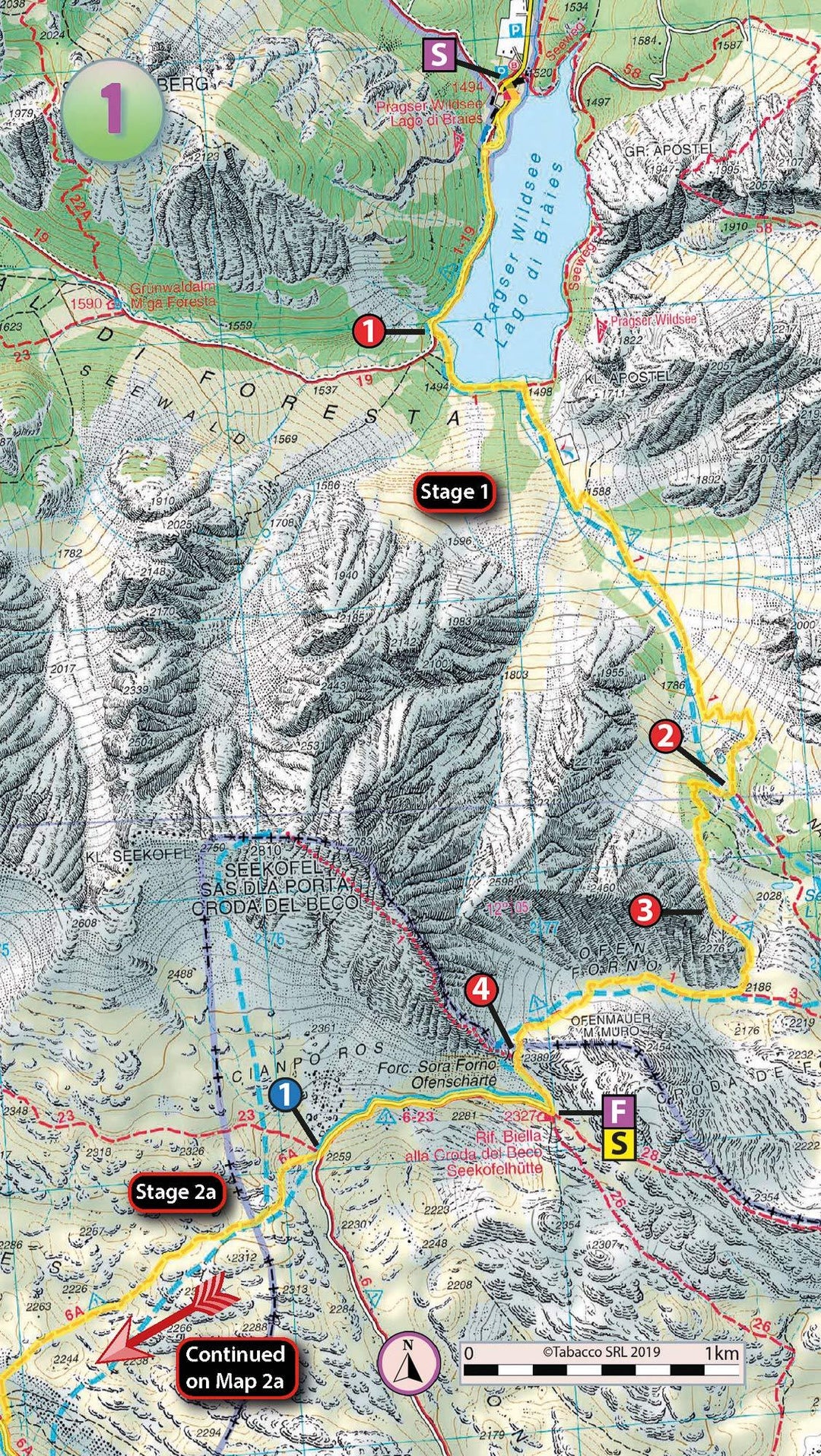
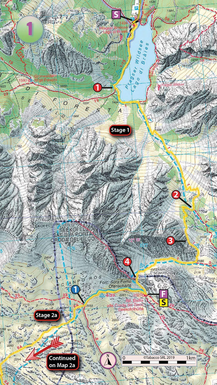
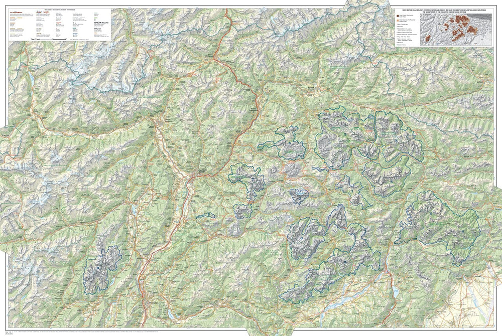
Inclut de vraies cartes au 1/25 000 de l'éditeur italien Tabacco.
Description fournie par l'éditeur :
The only guidebook exclusively for the AV1.
Real maps inside (Tabacco 1:25.000): the finest maps available for the Dolomites.
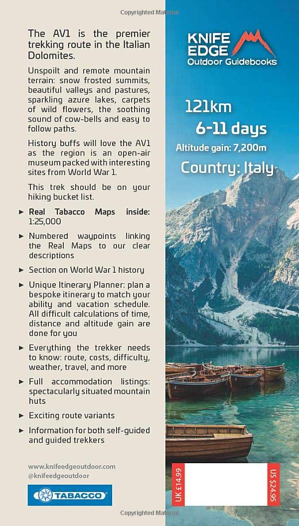
Everything you need to know to plan and walk Italy’s most popular long distance route.
Also includes:
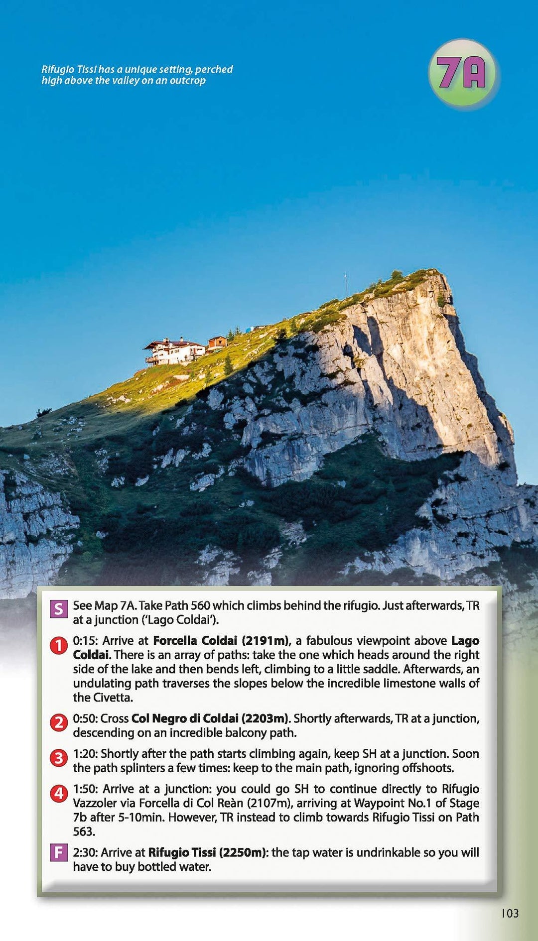
- Numbered waypoints linking maps to text;
- Unique Itinerary Planner: plan a bespoke itinerary to match your ability and vacation schedule. All difficult calculations of time, distance and altitude gain are done for you;
- 7 Proposed Itineraries of between 6 and 11 days;
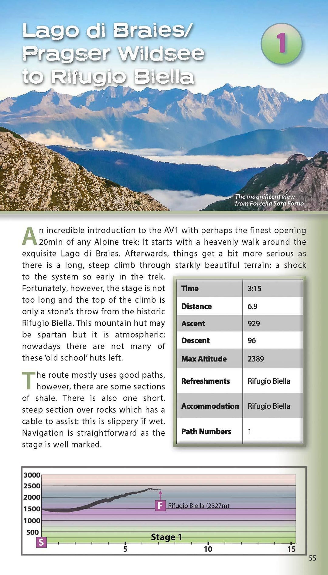
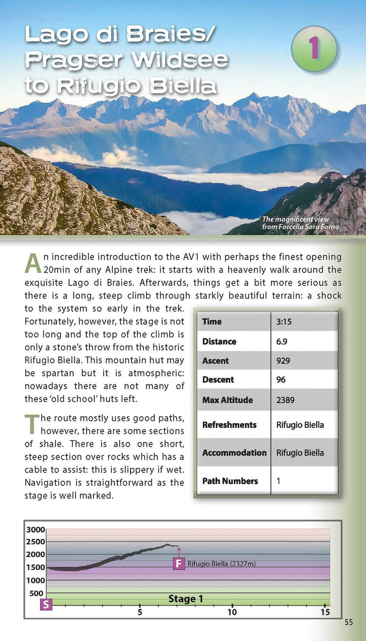
- Everything the trekker needs to know to plan the route: route descriptions, costs, budget, difficulty, weather, how to get there, and more;
- Full accommodation listings: spectacularly situated mountain huts;
- Section on Camping;
- Exciting variants to the main route;
- Information for both self-guided and guided trekkers;
- Edge to edge colour: the most modern and beautiful guidebooks
ISBN/EAN : 9781912933082
Date de publication : 2020
Pagination : 130 pages
Dimensions plié(e) : 12,1 x 21 cm
Langue(s) : anglais
Poids :
250 g


