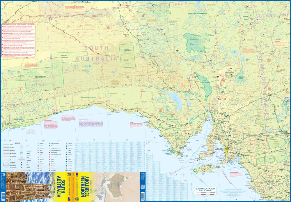
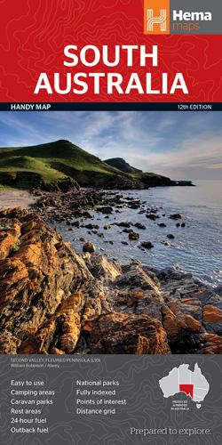
Road map no. 519 - South Australia - State & Cities | UBD Gregory's
Road map no. 519 - South Australia - State & Cities | UBD Gregory's
Regular price
$14.00
- Shipping within 24 working hours from our warehouse in France
- Delivery costs calculated instantly in the basket
- Free returns (*)
- Real-time inventory
- Low stock - 2 items left
Related geographic locations and collections: South Australia