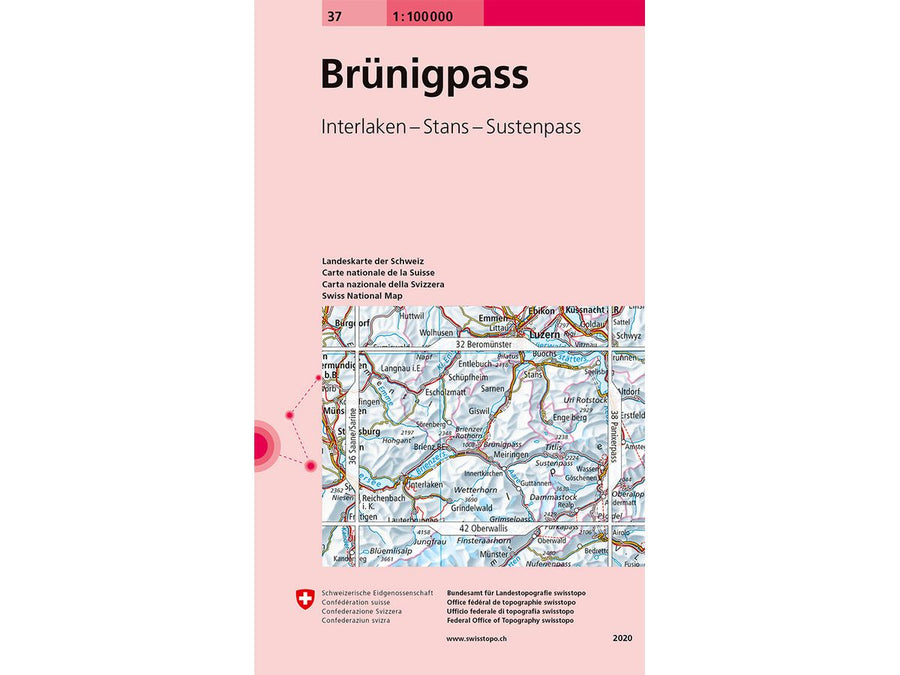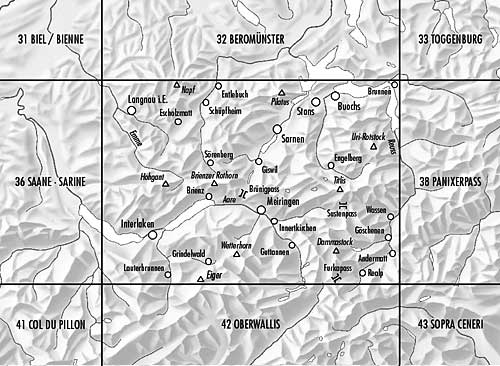
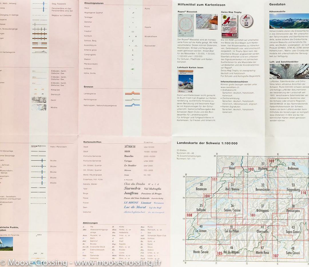
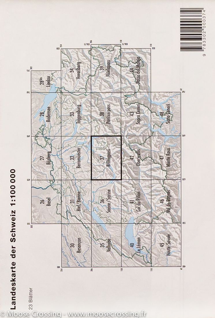
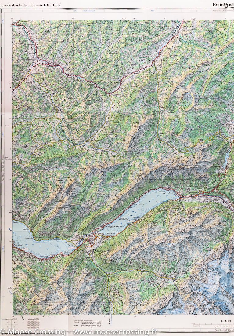


Topographic Map # 37 - Col de Brünig (Meiringen area, Switzerland) | Swisstopo - 1/100 000
Topographic Map # 37 - Col de Brünig (Meiringen area, Switzerland) | Swisstopo - 1/100 000
Regular price
$17.00
- Shipping within 24 working hours from our warehouse in France
- Delivery costs calculated instantly in the basket
- Free returns (*)
- Real-time inventory
- Low stock - 1 item left
Related geographic locations and collections: Hiking in Switzerland, Meiringen, Swiss Alps (all hiking), Swisstopo - National maps of Switzerland at 1/100,000