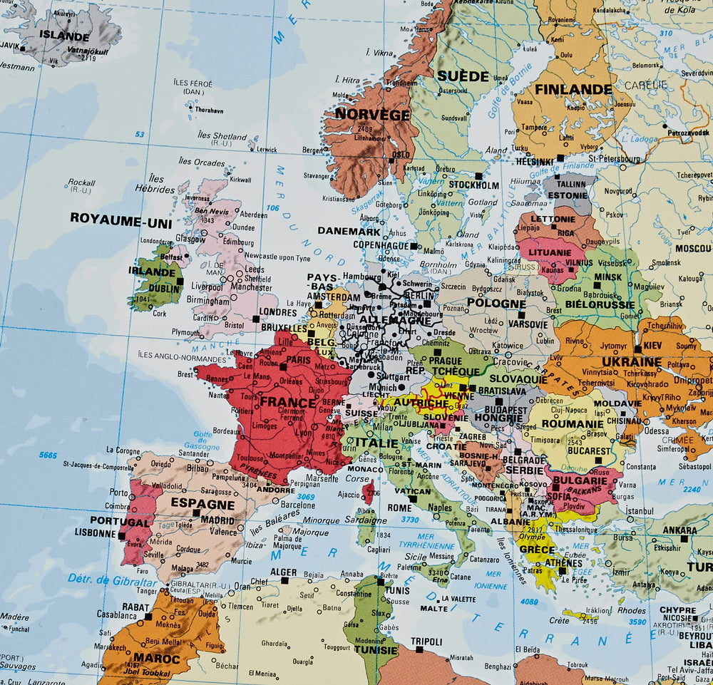
Wall map of Europe (Classic, Sleeved) published by National Geographic.
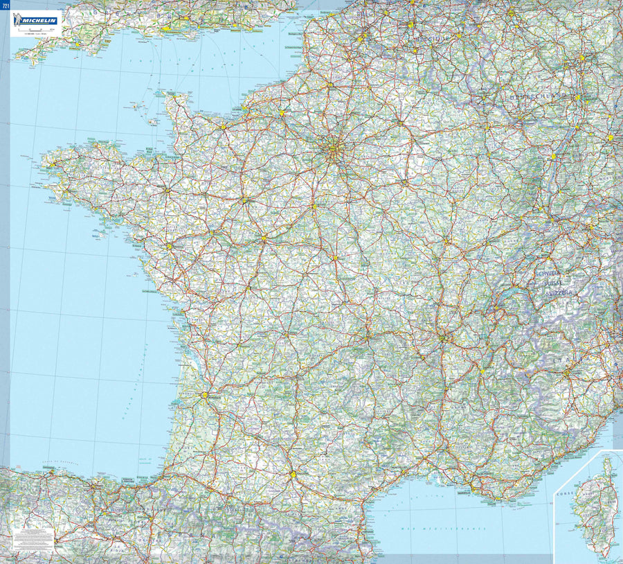
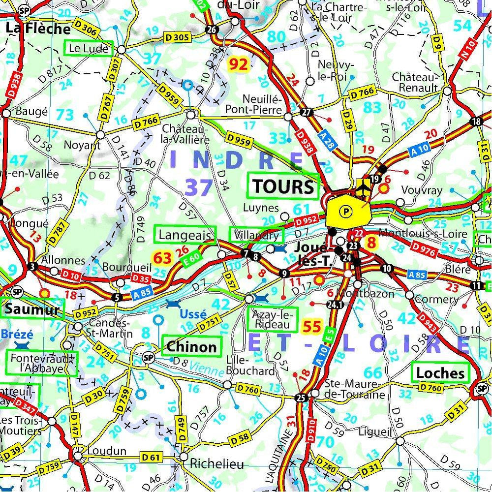
This classic political map of Europe features clearly defined international boundaries, thousands of place names, waterbodies, airports, major highways and roads, national parks, and much more.
The tasteful color palette, shaded relief, and coastal bathymetry make this map as attractive as it is functional.
The countries and major cities shown include: Albania, Armenia, Austria, Azerbaijan, Belarus, Belgium, Bosnia & Herzegovina, Bulgaria, Croatia, Cyprus, Czech Republic, Denmark, Estonia, Finland, France, Georgia, Germany, Greece, Hungary, Iceland, Ireland, Italy, Kosovo, Latvia, Liechtenstein, Lithuania, Luxembourg, Macedonia, Moldova, Montenegro, The Netherlands, Norway, Poland, Portugal, Romania, Russia, Serbia, Slovakia, Slovenia, Spain, Sweden, Switzerland, Turkey, Ukraine, and the United Kingdom.
Map size : 20.87 x 26.77 inches
Scale 1:8,425,000.