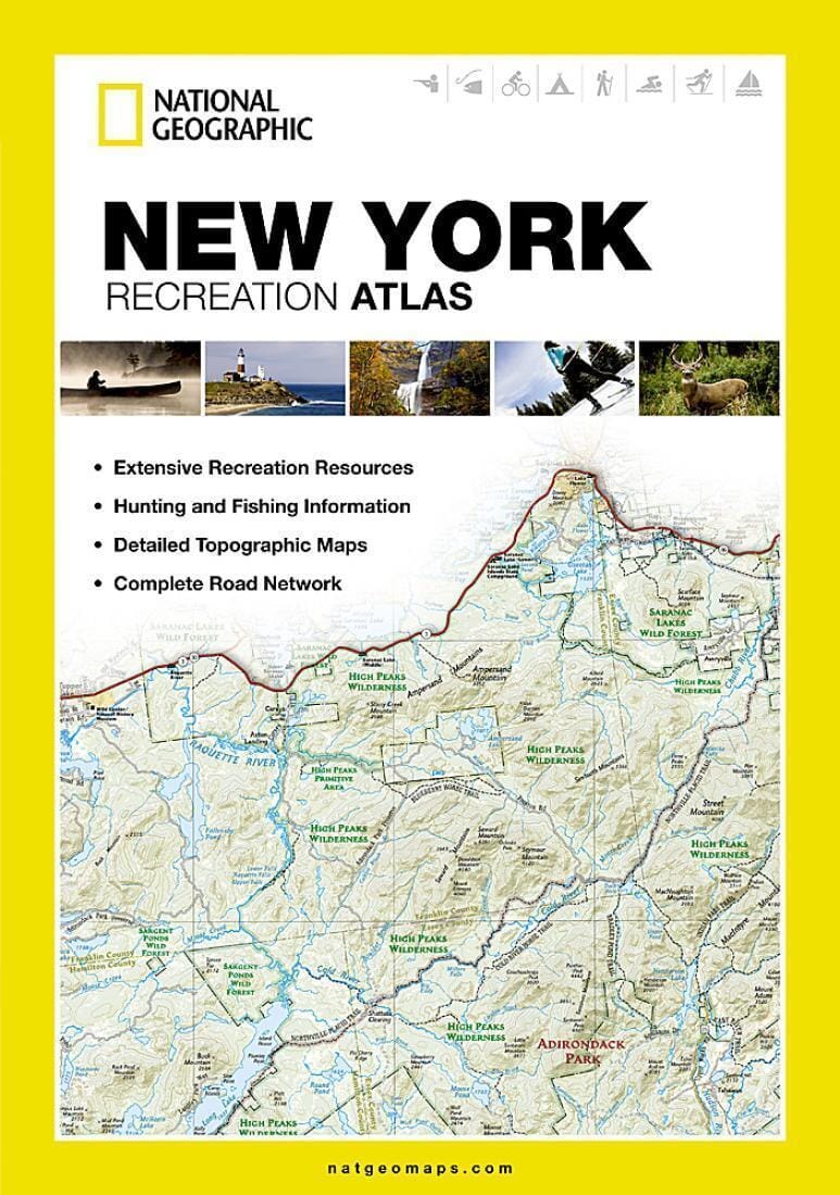
The New York Recreation Atlas is the ideal resource for any recreation activity from hunting and fishing to camping, golfing, hiking, and more.
Detailed Feature List:
• Detailed topographic maps with shaded relief for the entire state. Map scale is 1:150,000 (1 cm = 1.5 km)
• Each labeled feature is up-to-date and verified by satellite image
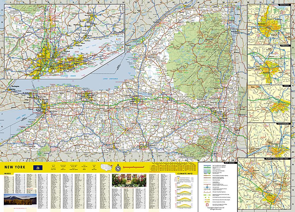
• Comprehensive, easy-to-read road network
• Boundaries for parks and federal lands
• Clearly-labeled lakes, rivers and streams
• Durable laminated cover
• Robust travel and recreation information
• Cross-referenced chart of fishing areas with species information
• Game management units
• Campgrounds and attraction charts
• State Parks maps and facilities
• Hiking, golfing, skiing and paddling destinations
• Climate information
Map Scale = 1:150,000
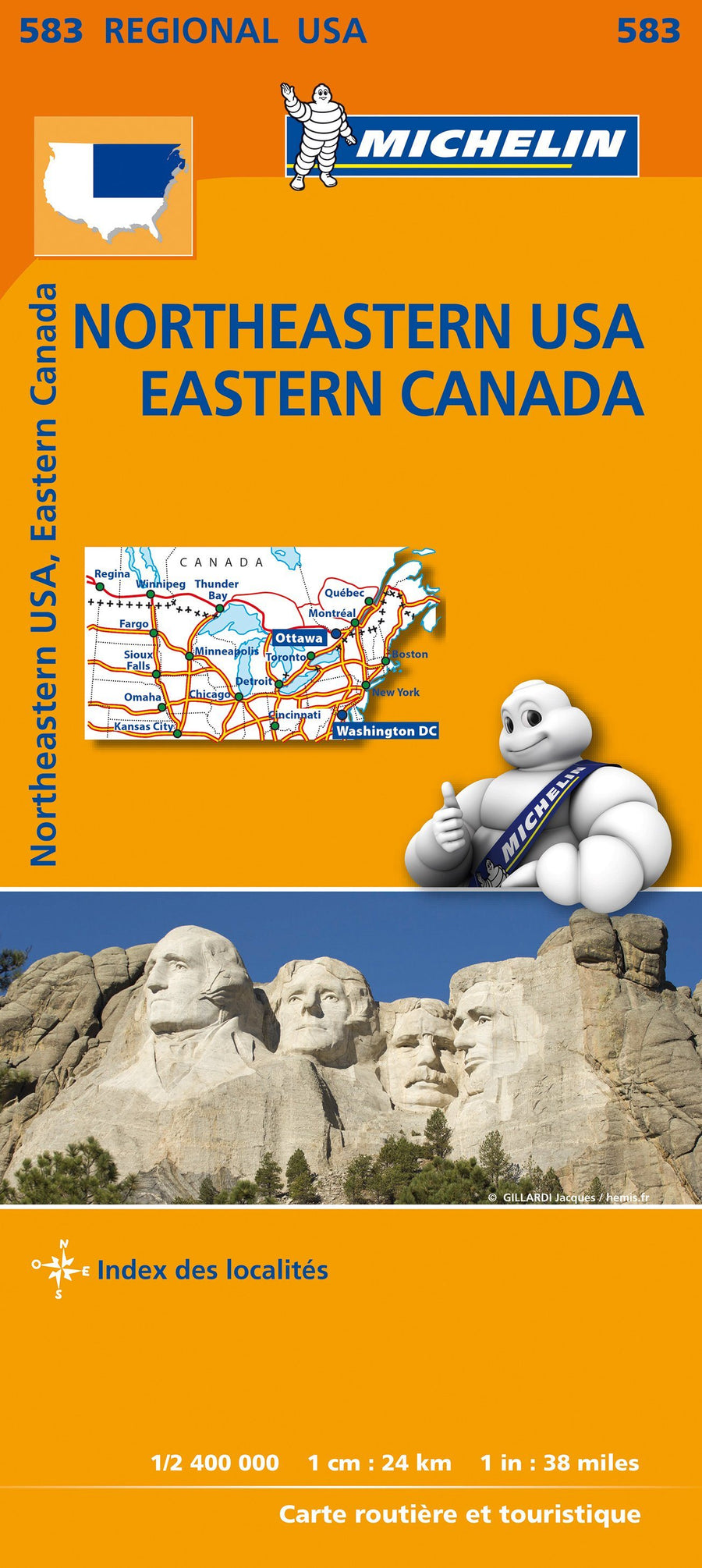
ISBN/EAN : 9781597755542
Publication date: 2013
Scale: 1:150,000
Folded dimensions: 11 inch x15 inch
Waterproof: non
Tear resistant: non
Language(s): English
Poids :
660 g