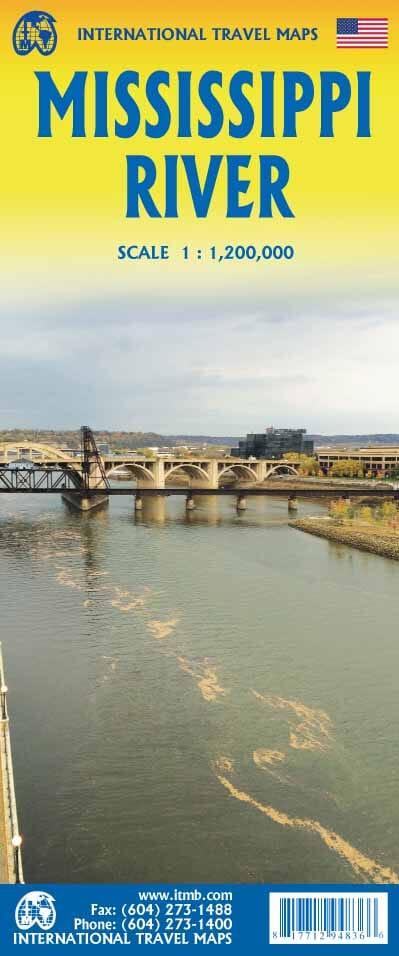
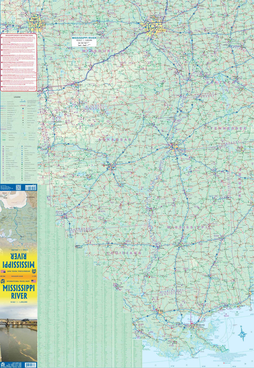
Travel Map - USA Central & Mississippi | ITM
Travel Map - USA Central & Mississippi | ITM
Regular price
$15.00
- Shipping within 24 working hours from our warehouse in France
- Delivery costs calculated instantly in the basket
- Free returns (*)
- Real-time inventory
Related geographic locations and collections: Arkansas, Illinois, Iowa, Kansas, Louisiana, Minnesota, Mississippi, Missouri, Montana, Nebraska, North Dakota, Oklahoma, South Dakota, Southern United States, Tennessee, Texas, Wyoming

![Buffalo National River [Map Pack Bundle] | National Geographic carte pliée](http://mapscompany.com/cdn/shop/products/buffalo-national-river-pack-de-cartes-national-geographic-carte-pliee-national-geographic-255970.jpg?v=1694453227&width=900)
![Arkansas River [Map Pack Bundle] | National Geographic carte pliée](http://mapscompany.com/cdn/shop/products/arkansas-river-pack-de-cartes-national-geographic-carte-pliee-national-geographic-168179.jpg?v=1694454609&width=900)