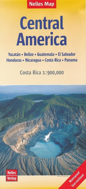
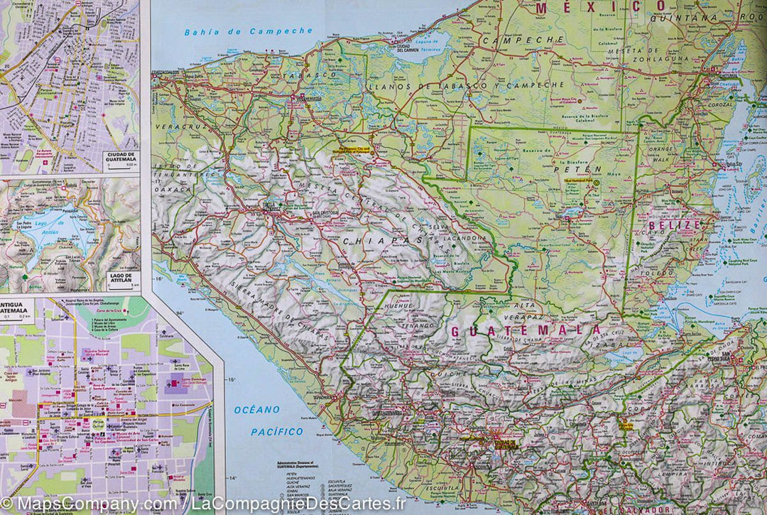
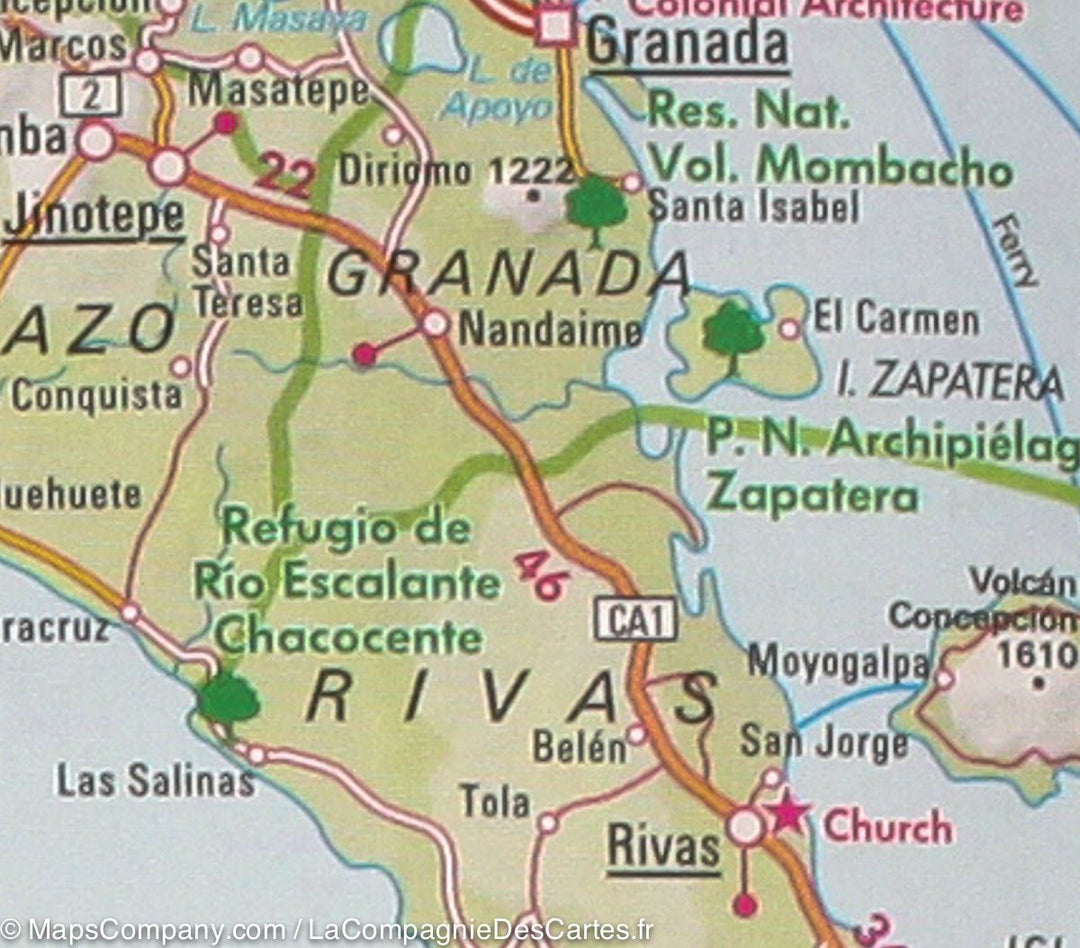
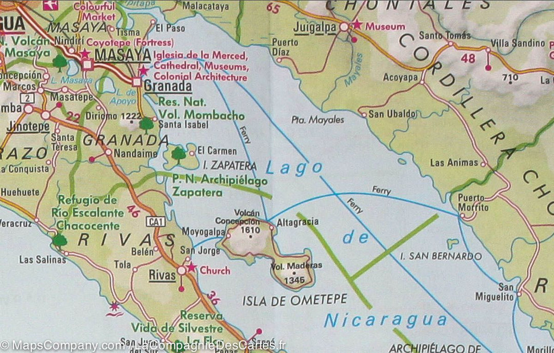
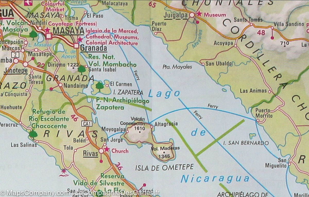
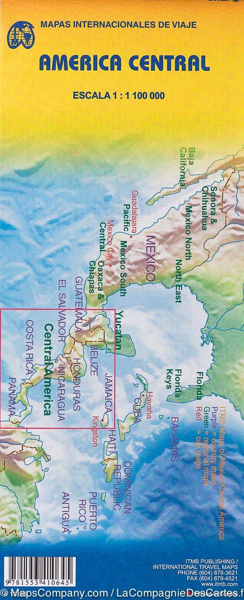
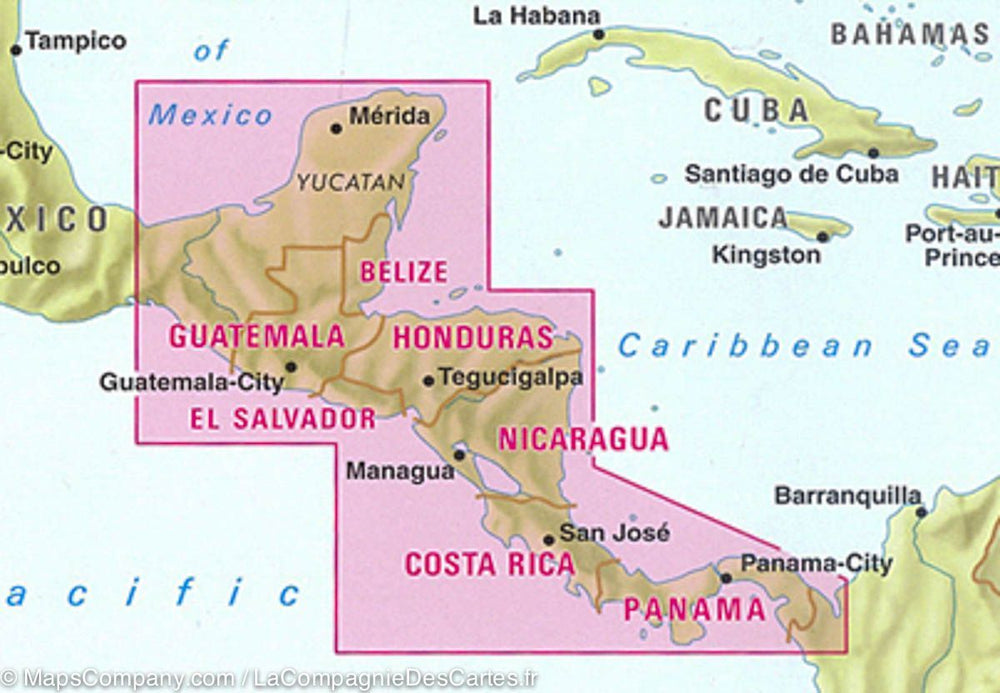
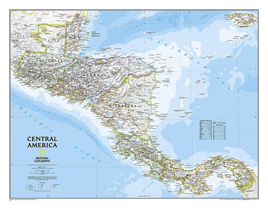
Detailed map of Central America and Costa Rica published by Nelles Map. Includes a general map of Central America to 1/17,750,000 (1 cm = 17.5 km) and a more detailed map of Costa Rica 1/900 000. - Many inserts: shots of Tikal sites, lake of Atitlan, Palenque, Uxmal, Chichen Itza, the region of the Riviera Maya, Tulum, Copan and Isla del Coco and also the plans of the cities of Cancun, Isla Mujeres, Isla Cozumel, Merida, Campeche, Ciudad de Guatemala, Antigua Guatemala and the center of San José. - Legend in French, English, German and Spanish with different routes (distances indicator), train lines, airports, attractions, national parks, nature reserves. - Mapping of relief and points of interest indicated. - This map of Central America is double-sided printed on a waterproof and tearing flexible paper.
ISBN/EAN : 9783865745309
Publication date: 2018
Scale: 1/1,750,000 (1cm=17.5km) &1/900,000
Printed sides: both sides
Folded dimensions: 25.3x11.9x0.5cm
Unfolded dimensions: 89cm x 50cm
Language(s): French, English, German
Poids :
55 g