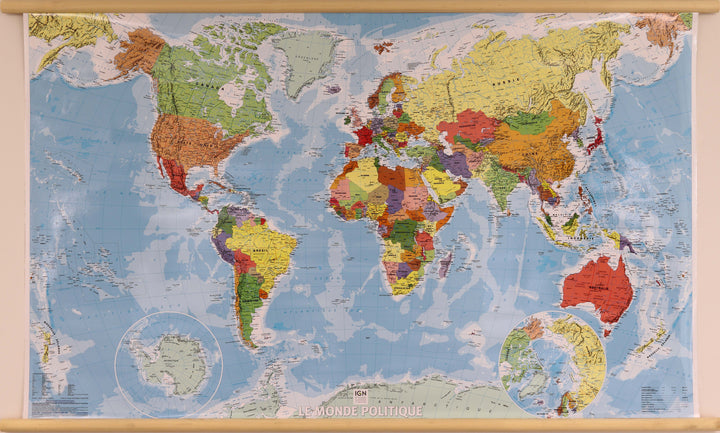
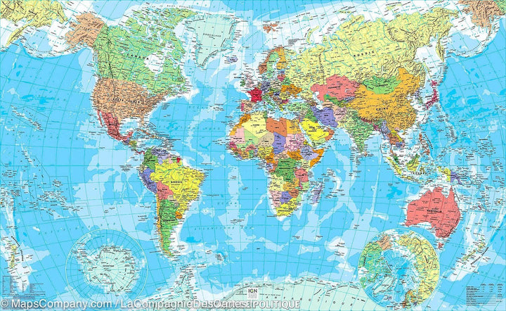
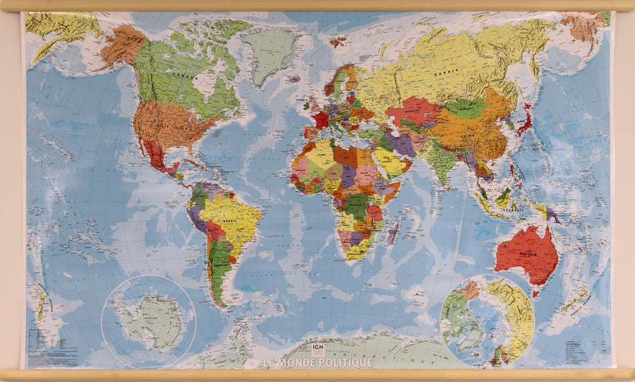
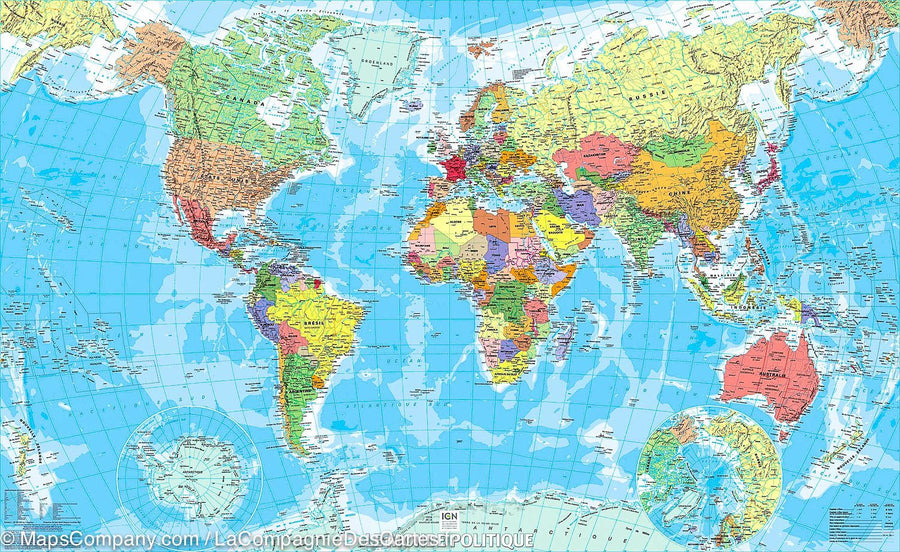
Laminated Wall Map - Administrative France (New Regions) - 98 x 113 cm, with wooden holding slats | IGN (French)

Laminated Wall Map - Administrative France (New Regions) - 98 x 113 cm, with wooden holding slats | IGN (French)
Carte murale plastifiée - France administrative (nouvelles régions), avec lattes de maintien en bois | IGN carte murale grand tube IGN

Laminated Wall Map - Administrative France (New Regions) - 98 x 113 cm, with wooden holding slats | IGN (French)

Regular price $180.00
/
  • Produit fabriqué sur commande - Expédition sous 7 à 10 jours ouvrés depuis notre atelier
  • Frais de livraison calculés instantanément dans le panier
Tax included.

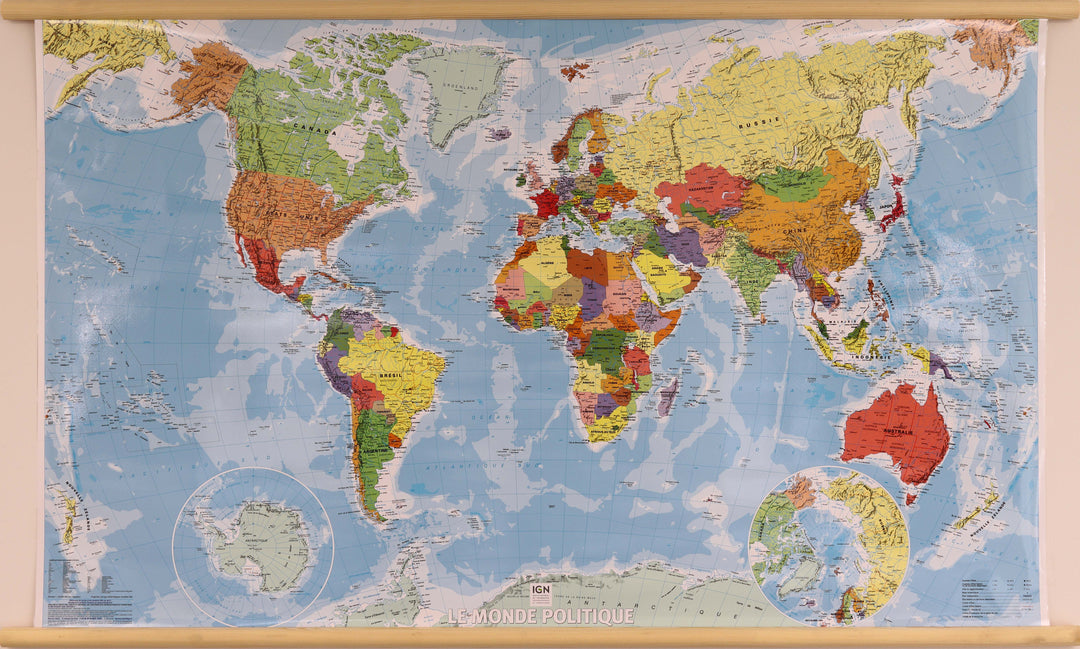
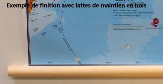
This laminated mural of administrative France published by the IGN presents the new regions and departments. It is equipped with wooden holding slats to facilitate wall attachment (for example, for example).

Dimensions of the map: 98 x 113 cm.

Scale 1/1 020 000 (1 cm = 10.20 km).

Note: This map is made upon request in our workshop and may request a dozen additional days for shipping.


ISBN / EAN : 9782758551041B
Date de publication : 2020
Echelle : 1/29,000,000 (1cm=290km)
Impression: front
Dimensions déplié(e) : 143 x 89cm
Langue : French
Poids : 225 g

Customer Reviews

Be the first to write a review
0%
(0)
0%
(0)
0%
(0)
0%
(0)
0%
(0)