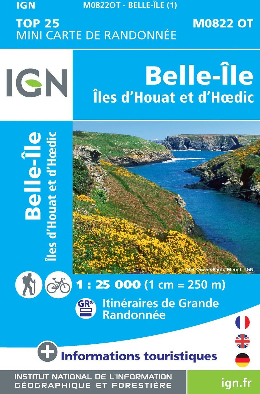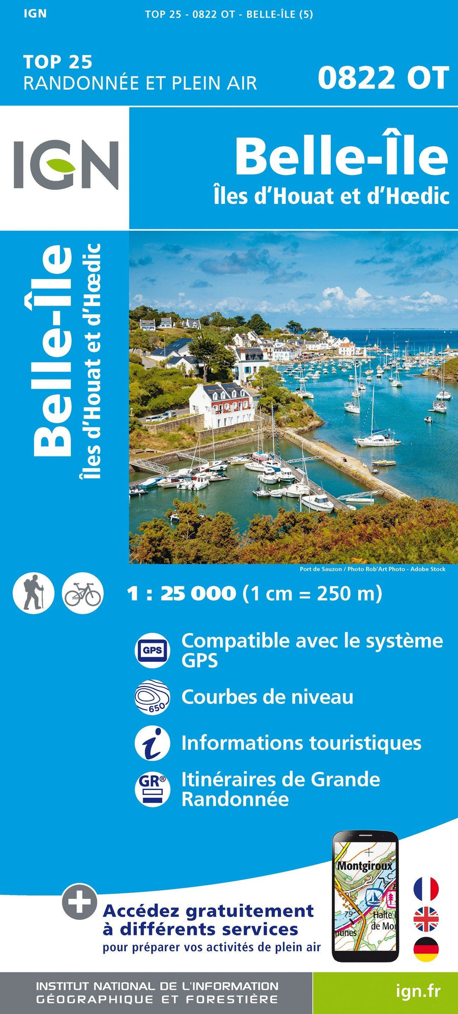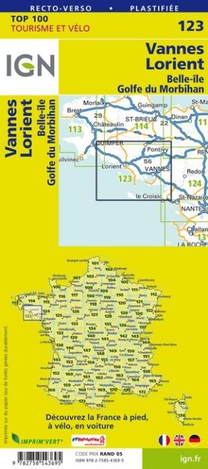


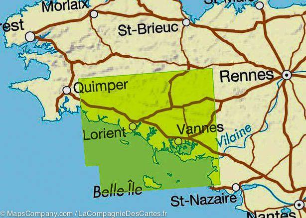

Top 100 Map ° 123 - Vannes, Lorient, Gulf of Morbihan & Belle-Island of | IGN
Top 100 Map ° 123 - Vannes, Lorient, Gulf of Morbihan & Belle-Island of | IGN
Regular price
$10.00
- Shipping within 24 working hours from our warehouse in France
- Delivery costs calculated instantly in the basket
- Free returns (*)
- Real-time inventory
- In stock, ready to ship
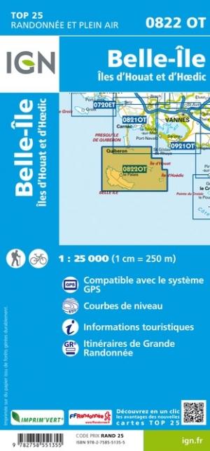
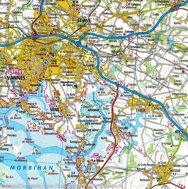
Related geographic locations and collections: Belle-Île-en-Mer (Belle Isle), Brittany, Brittany by bike, Gulf of Morbihan, IGN TOP 200 - Touristic maps of France, Lorient, Morbihan (department 56), Vannes