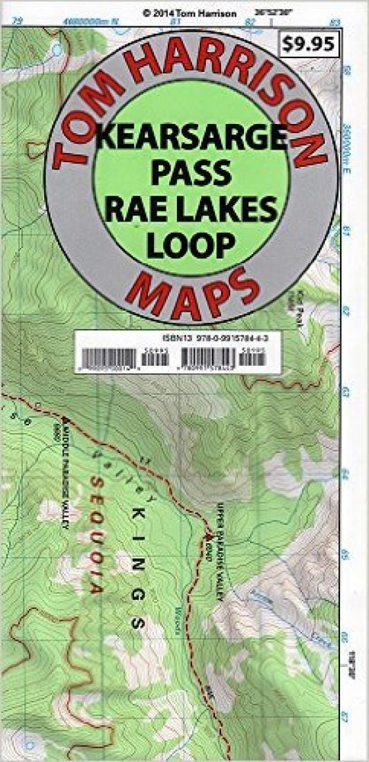
Kearsarge Pass and Rae Lakes Loop by Tom Harrison Maps

Kearsarge Pass and Rae Lakes Loop | Tom Harrison Maps

Kearsarge Pass and Rae Lakes Loop | Tom Harrison Maps

Regular price $18.00
/
  • Ships within 48 business hours from our US warehouse. For this product, customs fees may be requested by the carrier upon delivery.
  • Delivery costs calculated instantly in the basket
  • Free returns (*)
  • Real-time inventory
  • In stock, ready to ship
  • Backordered, shipping soon
Tax included.

This waterproof, tear resistant shaded relief topographic map from Tom Harrison maps shows Kearsarge Pass and Rae Lakes Loop at 1: 42,240 scale. This map has contour intervals of 80 feet and is GPS compatible and has a complete UTM grid. This map mainly features Kearsage Pass and the Rae Lake Loop, but it also covers Paradise Valley, Vidette Meadow, Charlotte Lake, Onion Valley, and Bubbs Creek.


ISBN/EAN : 9780991578443
Publication date: 2020
Folded dimensions: 8.66 x 4.33 inch / 22 x 11cm
Unfolded dimensions: 16.93 x 25.59 inches / 43 x 65cm
Language(s): English
Poids : 50 g

Customer Reviews

Based on 1 review
100%
(1)
0%
(0)
0%
(0)
0%
(0)
0%
(0)
L
Luc B.
Great map. Has all campsites, bear...

Great map. Has all campsites, bear boxes, ranger stations, etc.
Nice touch was highlighting of the 10000ft contour lines, above which no fires are allowed.