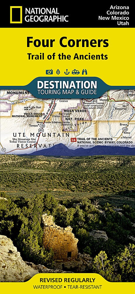
National Geographic's Four Corners Region DestinationMap strikes the perfect balance between map and guidebook and is ideal for a wide range of travelers. The Four Corners Region is the only place in the United States where four states intersect at one point: Arizona, Colorado, New Mexico and Utah.
The front side of the Four Corners Region DestinationMap reveals a map of the region spanning from Dixie National Forest in southeastern Utah; to Great Sand Dunes National Park and Preserve and San Isabel National Forest in southwestern Colorado; to Santa Fe National Forest and Cibola National Forest in northwestern New Mexico; to Coconino National Forest in northeastern Arizona. At the center of the map is the Four Corners Monument, where visitors can stand on the only spot in the United States where four states meet. The map also includes a detailed road network and areas of interest such as Indian Reservations and National Parks, Forests, Monuments and Recreation Areas. Archaeological sites, historic sites, museums, scenic areas, geotourism locations, state parks and other points of interest are also featured.
The reverse side of the map provides invaluable content for travelers with individual maps and descriptions highlighting archaeological sites, festivals, museums and events; outdoor recreation opportunities; water and geologic features; and arts, music and cultural points of interest. The map also features important travel tips and beautiful photographs showcasing some of many ways travelers can experience this enchanted landscape.
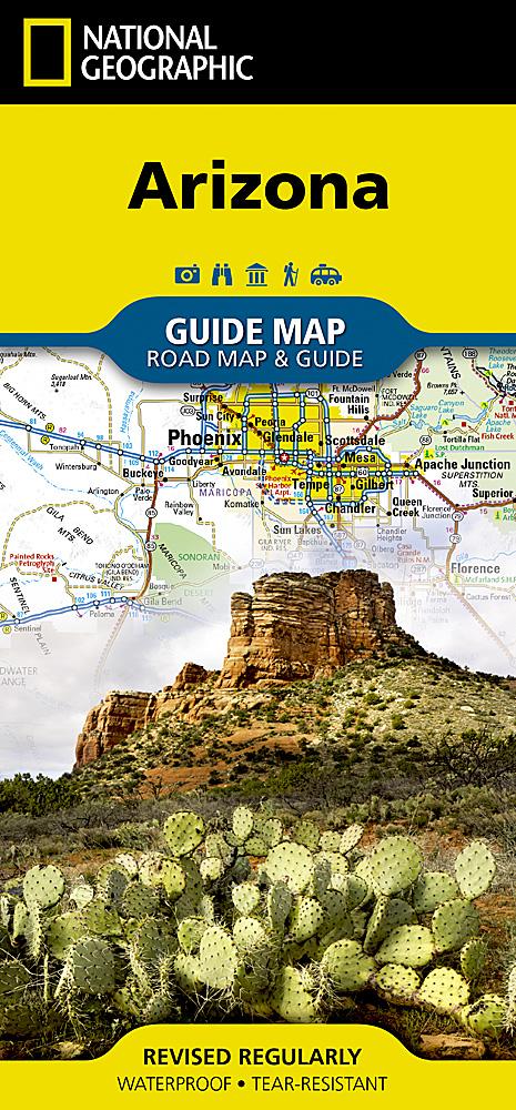
The Four Corners Region DestinationMap is waterproof and tear-resistant.
Scale : 1:758,930