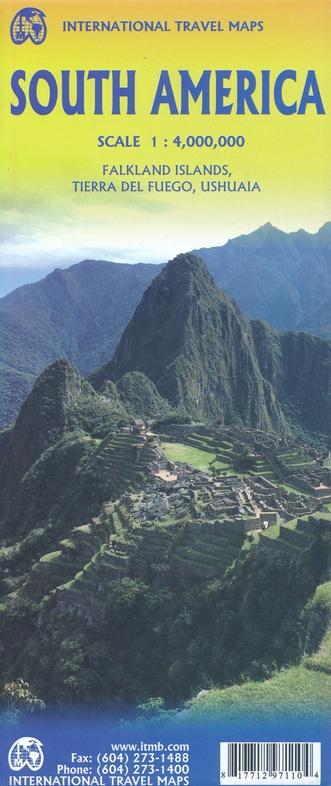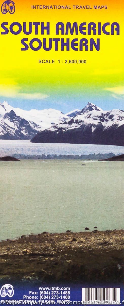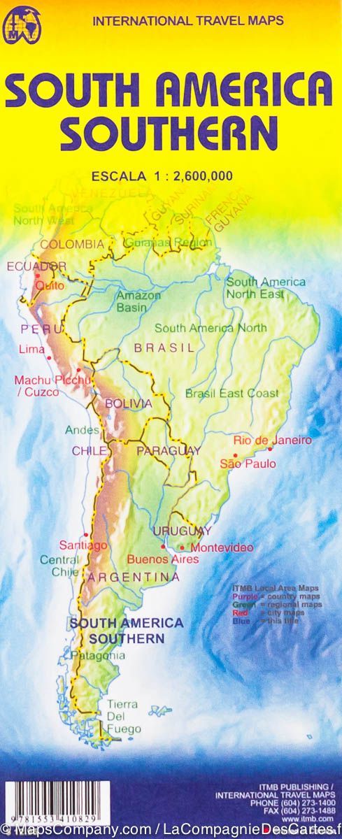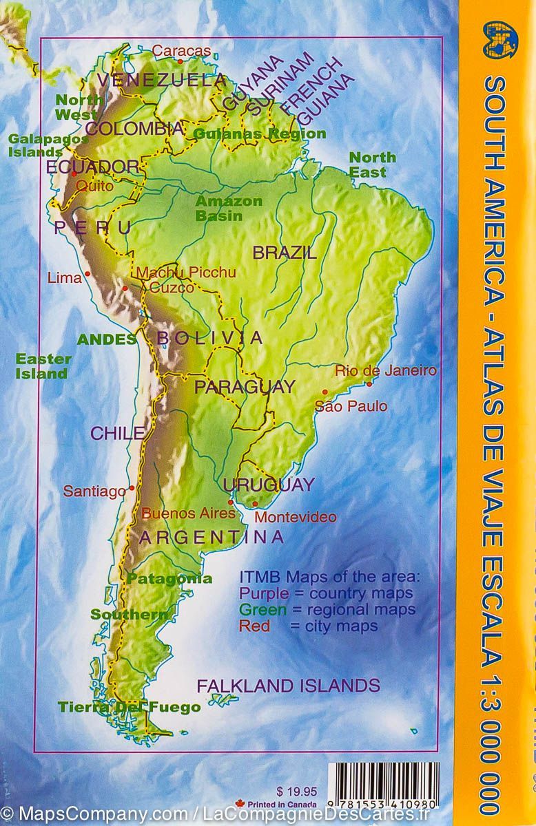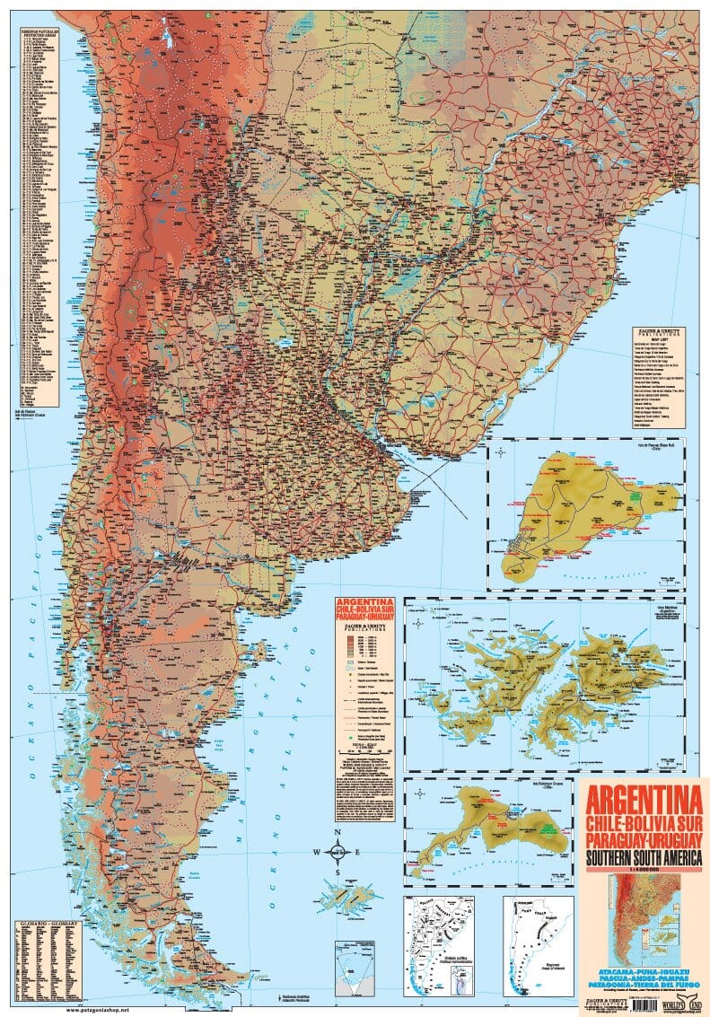


South America, Southern | Zagier y Urruty
South America, Southern | Zagier y Urruty
Regular price
$20.00
- Ships within 48 business hours from our US warehouse. For this product, customs fees may be requested by the carrier upon delivery.
- Delivery costs calculated instantly in the basket
- Free returns (*)
- Real-time inventory
- In stock, ready to ship
Related geographic locations and collections: South America