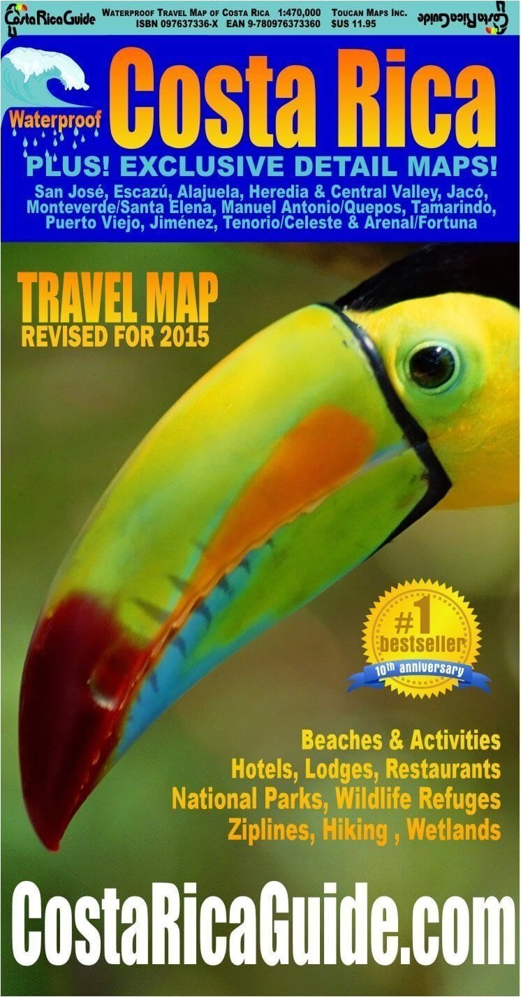
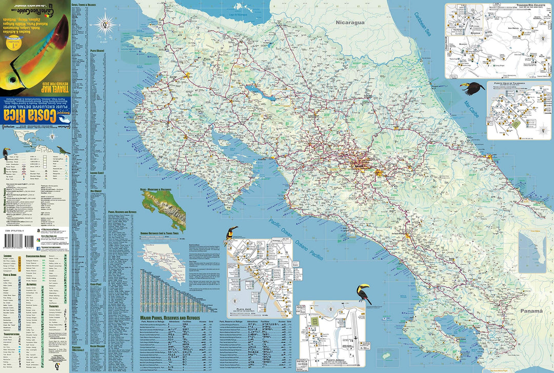
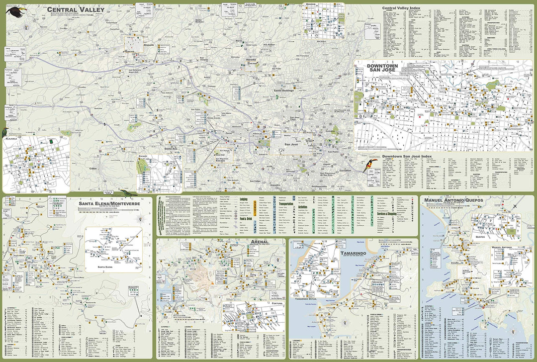
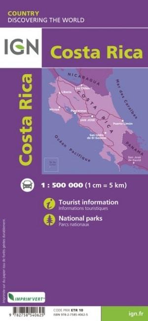
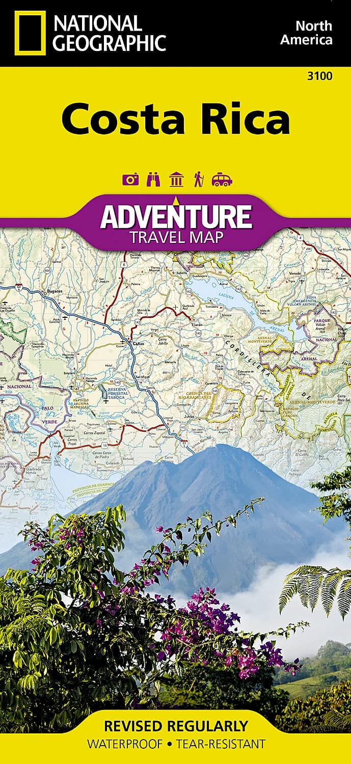
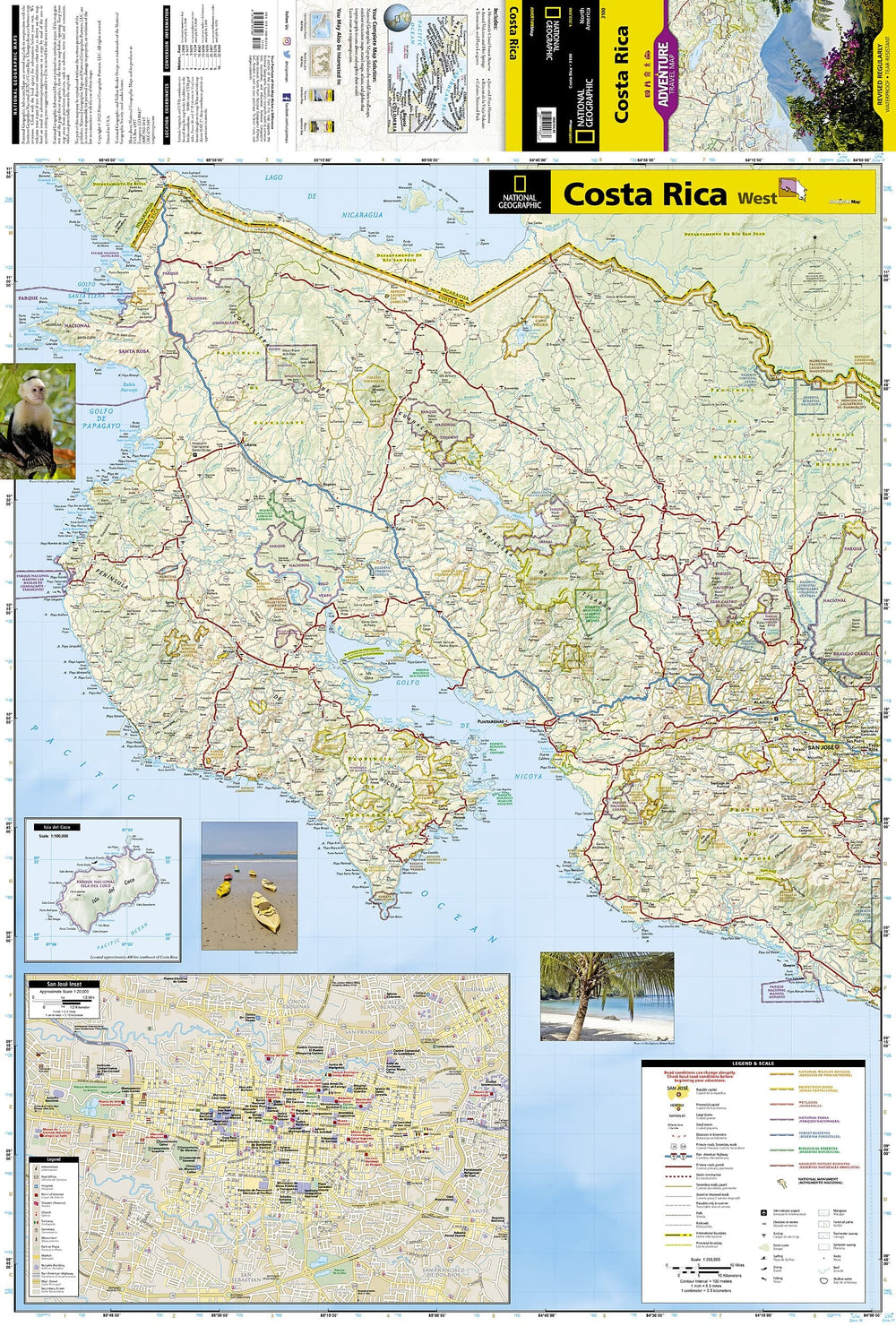
Waterproof and rugged road and travel map of Costa Rica including zoomed detail maps of Arenal, Monteverde, Manuel Antonio and over a dozen other popular destinations. Roads are clearly differentiated by color and line width for classes from limited access divided highways down to 4WD seasonal tracks.
Locations and easy to read indexes are included for cities and towns, National Parks and other natural areas, beaches, rivers, peaks, volcanoes, waterfalls and the best hotels, lodges, resorts, restaurants and activities.
Exclusives
o The only street level map in print for the entire Central Valley from the International Airport to San Jose.
o Detailed maps of Arenal Volcano/Fortuna, Alajuela, Escazu, Heredia, Manuel Antonio/Quepos, Monteverde/Santa Elena, Playa Jaco, Playa Tamarindo/Langosta, Puerto Jimenez & Tenorio/Celeste.
o Proprietary symbols for distinctively Costa Rican attractions like zip-line and hanging bridge canopy tours, butterfly gardens, waterfall rappelling, rain forest horseback rides, SCUBA, deep sea fishing, golf, white water rafting, trails and many more. See at a glance what to do where.
o Driving distance table and mini map for calculating trip distances and estimating drive times.
o Printed on high tech synthetic "paper" it s lightweight, durable & totally waterproof - works great as an emergency umbrella!
o A few dozen useful English to Spanish phrase and word translations are provided in an inset. You will appreciate having 'What is the best way to get there?' and 'Can you please show me on the map?' at your fingertips if you need to ask directions.