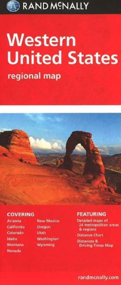
United States, Western Regional | Rand McNally
United States, Western Regional | Rand McNally
Regular price
$11.00
- Ships within 48 business hours from our US warehouse. For this product, customs fees may be requested by the carrier upon delivery.
- Delivery costs calculated instantly in the basket
- Free returns (*)
- Real-time inventory
- In stock, ready to ship