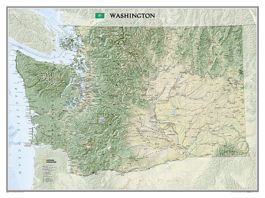
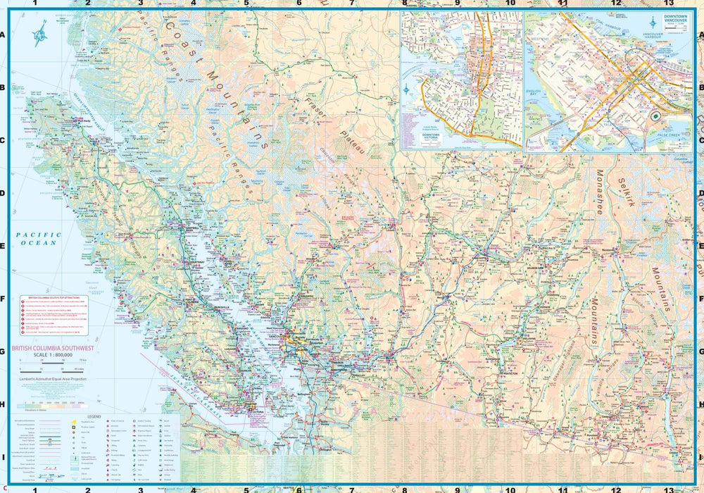
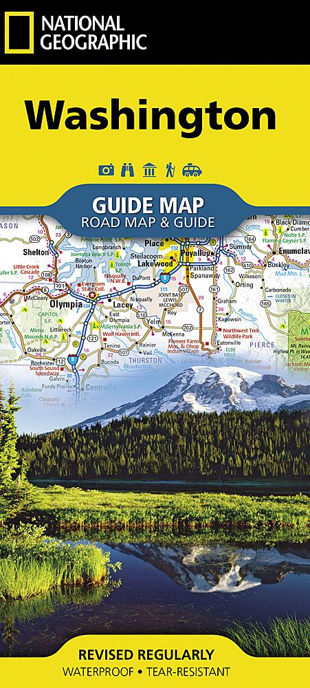
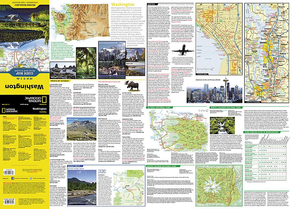
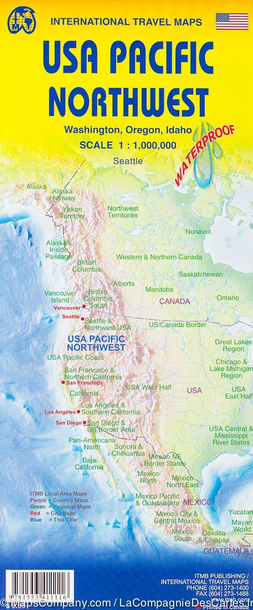
Explore the forested islands of Puget Sound, the snow-capped Cascades, and the agricultural basins fed by the Columbia and Snake rivers with National Geographic's wall map of Washington. Part of the growing series of State Wall Maps, this map offers a dramatic visualization of the Evergreen State's physical geography. Stunning shaded relief and vibrant colorization depicts mountain ranges, forests, valleys, and other physical topography.
In addition to the geographical features such as mountain ranges, prominent peaks, islands, major lakes, rivers, and reservoirs, this map includes the location of cities, towns, airports, national and state parks, and military bases. The Pacific Crest Trail, a long-distance hiking and equestrian trail to runs through the entire state from the border with Wall maps>Americas into Oregon, is shown as well.
The map is packaged in a 2"-diameter clear plastic tube. The tube has a decorative label showing a thumbnail of the map with dimensions and other pertinent information.