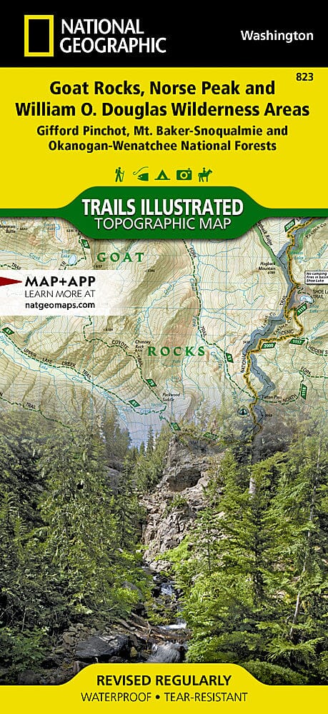
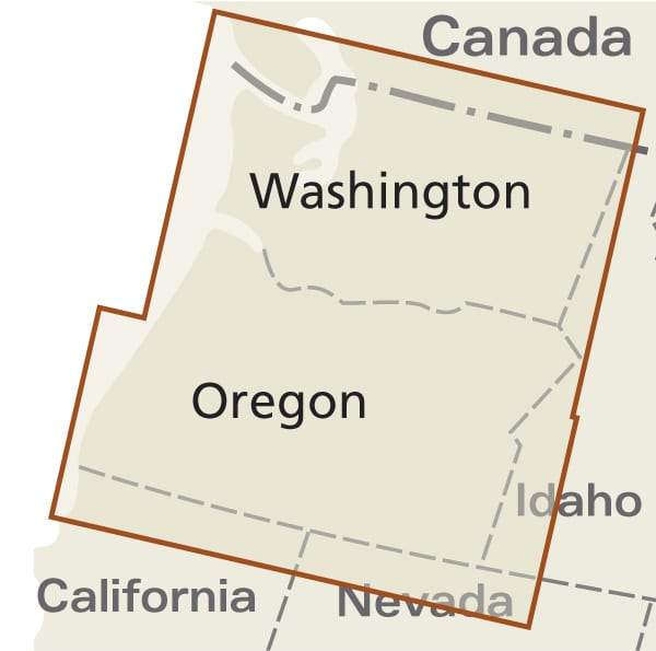
Carte des sentiers de Goat Rocks, Norse Peak & William O.Douglas Wilderness Area (Washington), # 823 | National Geographic carte pliée National Geographic

Trails Map of Goat Rocks, Norse Peak & William O.Douglas Wilderness Area (Washington), # 823 | National Geographic

Trails Map of Goat Rocks, Norse Peak & William O.Douglas Wilderness Area (Washington), # 823 | National Geographic

Regular price $20.00
/
  • Ships within 48 business hours from our US warehouse. For this product, customs fees may be requested by the carrier upon delivery.
  • Delivery costs calculated instantly in the basket
  • Free returns (*)
  • Real-time inventory
  • In stock, ready to ship
  • Backordered, shipping soon
Tax included.

Hiking map of Goat Rocks, Norse Peak & William O.Douglas Wilderness Area (Gifford-Pinchot and Okanogan-Wenatchee National Forests, Washington) published by National Geographic. The Gifford Pinchot National Forest, located in southwest Washington State, is one of the oldest National Forests in the United States. This detailed map includes William O. Douglas and Tatoosh Wilderness Areas, Pacific Crest Trail, Bumping and Rimrock Lakes, Manastash Ridge & Tatoosh Range, Chinook and White Pass Scenic Byways. Wilderness Coverage: Goat Rocks, Norse Peak, Tatoosh, William O. Douglas. Other Attractions: Hiking Trails, Mountain Biking, Campgrounds, Scenic Back Roads, Mountain Climbing, Sno-Parks, Fishing.Trails, trailheads, points of interest, campgrounds. Waterproof and tear resistant. Scale: 1:75,000.


ISBN/EAN : 9781566955065
Publication date: 2020
Scale: 1: 75,000 (1 cm represents 750 m)
Printed sides: both sides
Language(s): English
Poids : 95 g

Customer Reviews

Be the first to write a review
0%
(0)
0%
(0)
0%
(0)
0%
(0)
0%
(0)