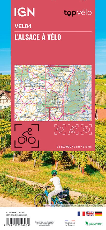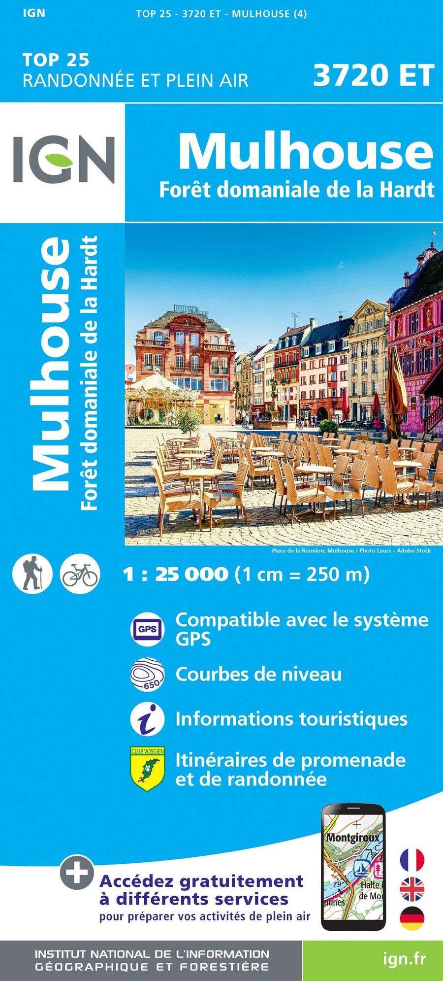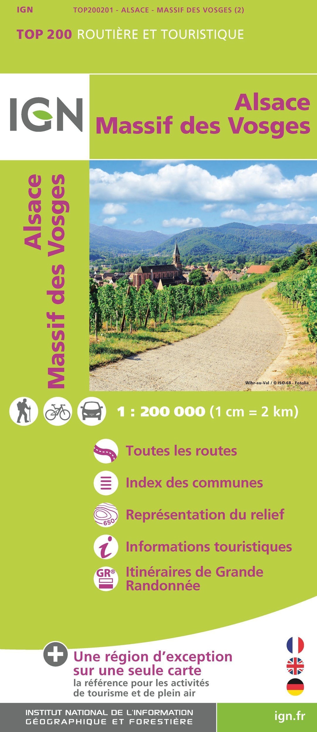

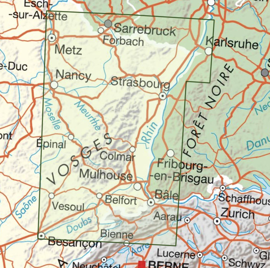


Map top 200 # 201 - Alsace & massif des Vosges | IGN
Map top 200 # 201 - Alsace & massif des Vosges | IGN
Regular price
$9.00
- Shipping within 24 working hours from our warehouse in France
- Delivery costs calculated instantly in the basket
- Free returns (*)
- Real-time inventory
- In stock, ready to ship
Related geographic locations and collections: Alsace, Belfort, Colmar, Great East, IGN TOP 200 - Touristic maps of France, Massif of the Vosges, Mulhouse, Strasbourg, Territoire de Belfort (department 90), Vosges (department 88)