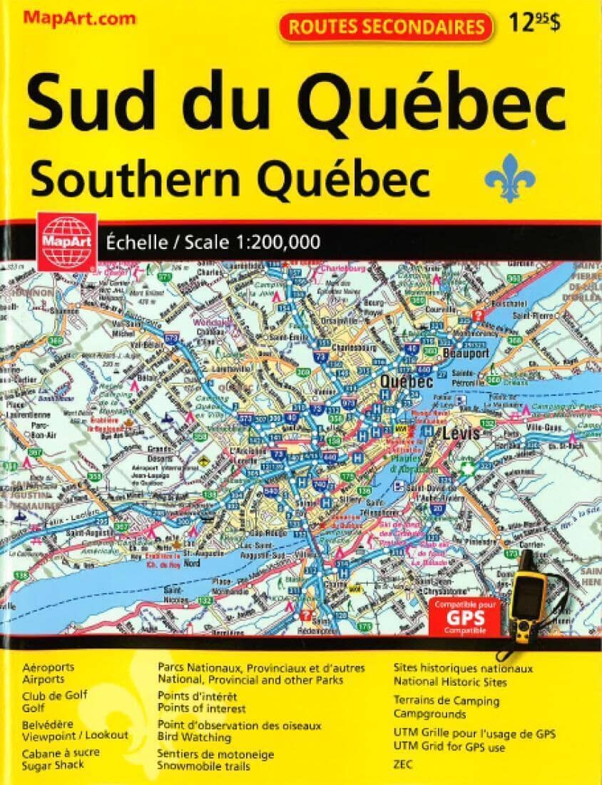
This GPS-compatible 2016 Back Road Atlas features: Aeroports/Airports, Club de Golf/Golf, Belvedere Viewpoint/Lookout, Cabane a sucre/Sugar Shack, Parcs Nationaux, Provinciaux et d'autres/ National Provincial and other Parks, Points d'interet/Points of interest, Point d'observation des oisewux/Bird Watching, Sentiers de motomeige/Snowmobile trails, Sites Historiques nationaux/ National Historic Sites, Terrains de Camping/Campgrounds, UTM Grille pour l'usage de GPS/UTM Grid for GPS use and ZEC.
Coverage: 1:200,000 Regional Mapping of the southern portion of Quebec Province. Coverage includes, but is not limited to: Petawawa & Cornwall to the West, Southern portions of Outaouais, Laurentides, Lanaudiere, Mauricie , Charlevoix, Chaudiere-Appalaches, Cantons-de-l'Est and Monteregie. Coverage of Northeastern USA along the border and Ottawa-Montreal-Quebec City corridor including areas north & south of this corridor.
ISBN/EAN : 9781554861385
Publication date: 2016
Unfolded dimensions: 11.02 inches x 8.27 inches (28 x 21 cm)
Language(s): English
Poids :
350 g