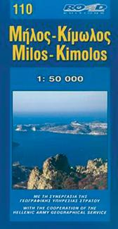
Topographic Map of the island of Milos & Kimolos - # 311 | Oath
Topographic Map of the island of Milos & Kimolos - # 311 | Oath
Regular price
$10.00
- Shipping within 24 working hours from our warehouse in France
- Delivery costs calculated instantly in the basket
- Free returns (*)
- Real-time inventory
- In stock, ready to ship
Related geographic locations and collections: Cyclades, Greece, Greek Islands, Milos