British Columbia and Alberta, Road Map by Canadian Cartographics Corporation, MapArt

British Columbia and Alberta Road Map | Canadian Cartographics Corporation

British Columbia and Alberta Road Map | Canadian Cartographics Corporation

Regular price $8.00
/
  • Ships within 48 business hours from our US warehouse. For this product, customs fees may be requested by the carrier upon delivery.
  • Delivery costs calculated instantly in the basket
  • Free returns (*)
  • Real-time inventory
  • In stock, ready to ship
  • Backordered, shipping soon
Tax included.

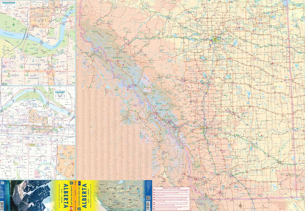
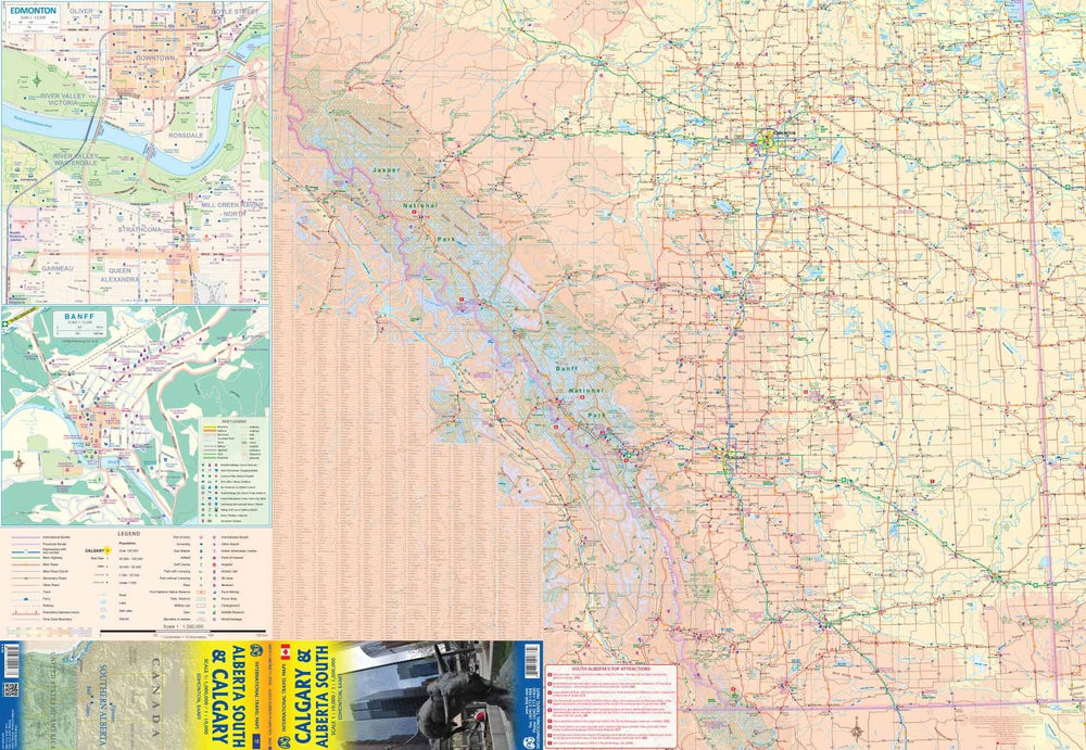
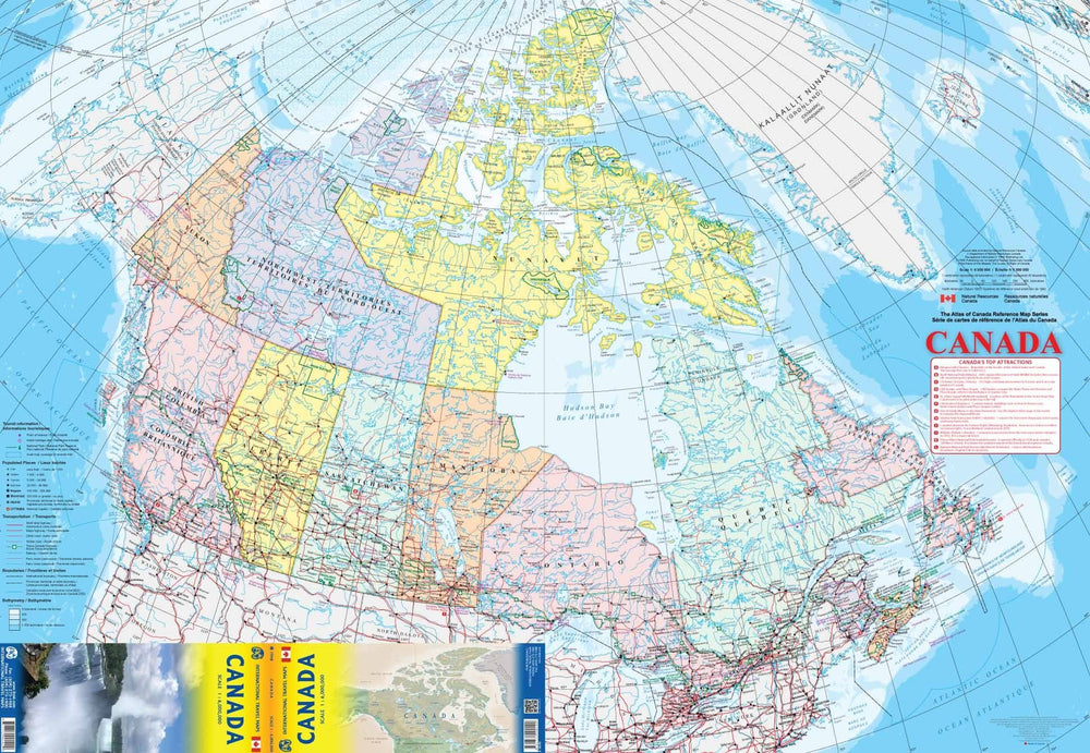
CCC maps have been the trusted standard for years, offering unbeatable accuracy and reliability at a great price. Detailed indices make for quick and easy location of destinations. It's a must-have for anyone travelling in British Columbia or Alberta. Features: Detailed provincial map of British Columbia and Alberta including national parks, historic sites, glaciers, provincial parks, points of interest and more Place name index for British Columbia and Alberta BC/AB distance chart Detailed map of Yukon and the Northwest Territories Regional maps of: Banff, Calgary, Edmonton, Fraser Valley, Kelowna, Lethbridge, Nanaimo, Red Deer, Saanich Peninsula, Vancouver, Victoria, and Whistler.


ISBN/EAN : 9781553683056
Publication date: 2023
Folded dimensions: 9.06 x 3.94 inch / 23 x 10cm
Unfolded dimensions: 38.98 x 26.77 inches / 99 x 68cm
Language(s): English
Poids : 1.5 oz

Customer Reviews

Based on 3 reviews
33%
(1)
33%
(1)
33%
(1)
0%
(0)
0%
(0)
O
Odell B.
Map does not have a points of inter...

Map does not have a points of interest/scenic information which would be helpful.

R
Rocky
I thought that the map was just ave...

I thought that the map was just average. It is kind of congested. The print is small. The individual maps of the cities were very good. I liked that feature.

D
David L.
Just what I needed for planning my ...

Just what I needed for planning my trip!