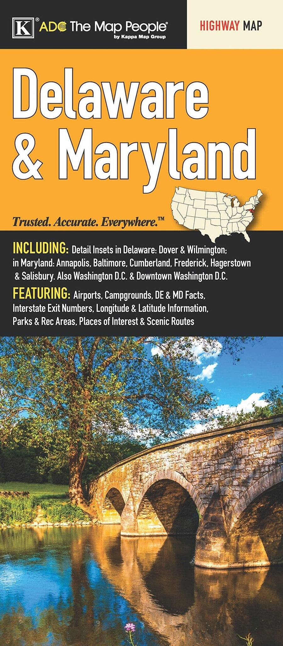
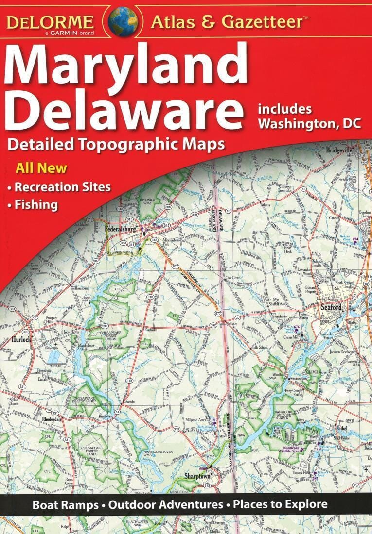
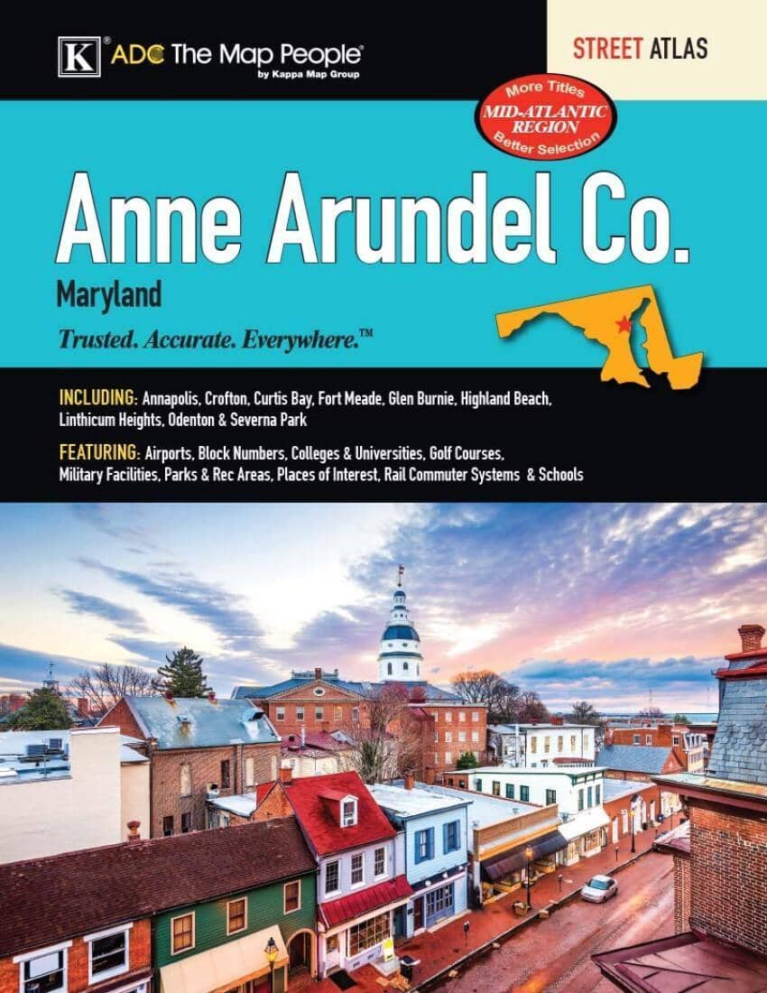
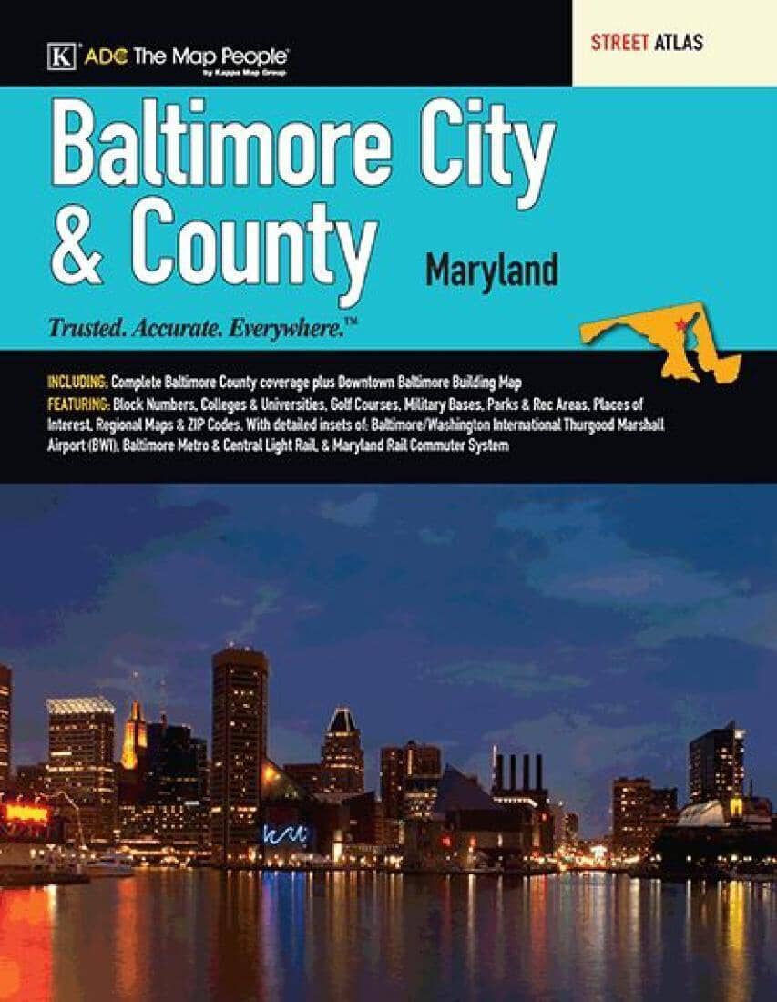
This spiral bound Baltimore, Maryland city and county atlas is a full-color street atlas, including: complete Baltimore County coverage, Hampstead, and Downtown Baltimore, at a large-scale; and features: Baltimore/Washington International Thurgood Marshall Airport (BWI), block numbers, downtown Baltimore, colleges and universities, Baltimore Metro & Central Light Rail, Maryland Rail Commuter system, parks and rec areas, places of interest, schools, and ZIP codes.
ISBN/EAN : 9780762594719
Publication date: 2021
Unfolded dimensions: 11.42 inches x 14.17 inches (29 x 35 cm)
Language(s): English
Poids :
20.0 oz




![Appalachian Trail: Virginia, West Virginia, Maryland [Map Pack Bundle] | National Geographic carte pliée](http://mapscompany.com/cdn/shop/products/cartes-de-randonnee-appalachian-trail-virginia-west-virginia-maryland-pack-de-cartes-national-geographic-carte-pliee-national-geographic-980569.jpg?v=1694453800&width=900)
