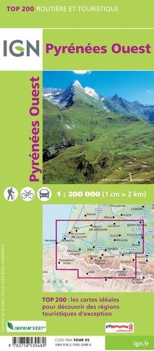
A series of maps on a 1/200,000 (1 cm = 2 km) scale intended for tourism and outdoor activities. For each covered region, this IGN map gives the entire motorway and road network, detailed tourist information, GR® (the reference to plan your hikes), the representation of the relief (essential for mountainous regions: level curves, sides, blurring) and an index of all municipalities.